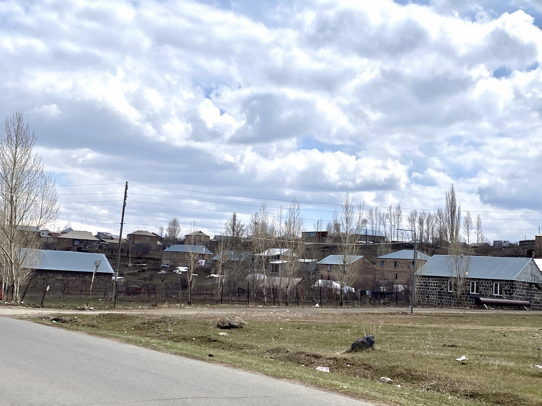
Kayk
Կայք | |
|---|---|
 Kayk, Aragatsotn Province | |
| Coordinates: 40°35′11″N 44°22′17″E | |
| Country | Armenia |
| Province | Aragatsotn |
| Municipality | Aparan |
| Elevation | 1,850 m (6,070 ft) |
| Population (2001) | |
| • Total | 554 |
| Time zone | UTC+4 |
Kayk (Armenian: Կայք) is a village in the Aparan Municipality of the Aragatsotn Province of Armenia located 29 km away from Ashtarak 1850 meters above the sea level.[1] The population migrated to Kayk during 1828-1929 from villages of Alashkert, Mush, Khoy, and Salmast regions.[1][2] It was renamed Kayk in 2006.[1]
Further reading
References
Wikiwand in your browser!
Seamless Wikipedia browsing. On steroids.
Every time you click a link to Wikipedia, Wiktionary or Wikiquote in your browser's search results, it will show the modern Wikiwand interface.
Wikiwand extension is a five stars, simple, with minimum permission required to keep your browsing private, safe and transparent.


