Top Qs
Timeline
Chat
Perspective
Lagarfljót
River From Wikipedia, the free encyclopedia
Remove ads
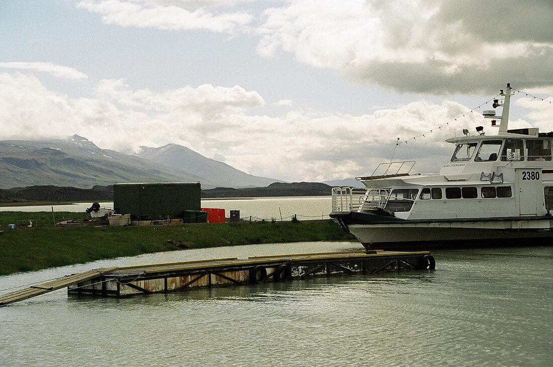
Lagarfljót (Icelandic pronunciation: [ˈlaːɣarˌfljouːt] ⓘ) also called Fljótið [ˈfljouːtɪθ] is a river situated in the east of Iceland near Egilsstaðir. Its surface measures 53 square kilometres (20 sq mi) and it is 25 kilometres (16 mi) long; its greatest width is 2.5 km (1.6 mi) and its greatest depth 112 m (367 ft). The 27 MW Lagarfossvirkjun hydropower station is located at its lower end.[1]
The biggest forest in Iceland, Hallormsstaðaskógur is found near the river as well as a waterfall, Hengifoss. Hengifoss, at 128 m (420 ft), is one of the tallest waterfalls in the country. Below it is another waterfall called Litlanesfoss.
As with the Scottish lake Loch Ness, a cryptid serpent, called Lagarfljótsormurinn by locals, is believed by some to live in the depths of Lagarfljót.
Remove ads
See also
References
External links
Wikiwand - on
Seamless Wikipedia browsing. On steroids.
Remove ads


