File:远望狮屿_-_Lion_Islet_-_2014.09_-_panoramio.jpg
From Wikipedia, the free encyclopedia
Size of this preview: 799 × 599 pixels. Other resolutions: 320 × 240 pixels | 640 × 480 pixels | 1,024 × 768 pixels | 1,280 × 960 pixels | 2,560 × 1,920 pixels | 4,249 × 3,187 pixels.
Original file (4,249 × 3,187 pixels, file size: 3.67 MB, MIME type: image/jpeg)
| This is a file from the Wikimedia Commons. Information from its description page there is shown below. Commons is a freely licensed media file repository. You can help. |
Summary
| Description远望狮屿 - Lion Islet - 2014.09 - panoramio.jpg |
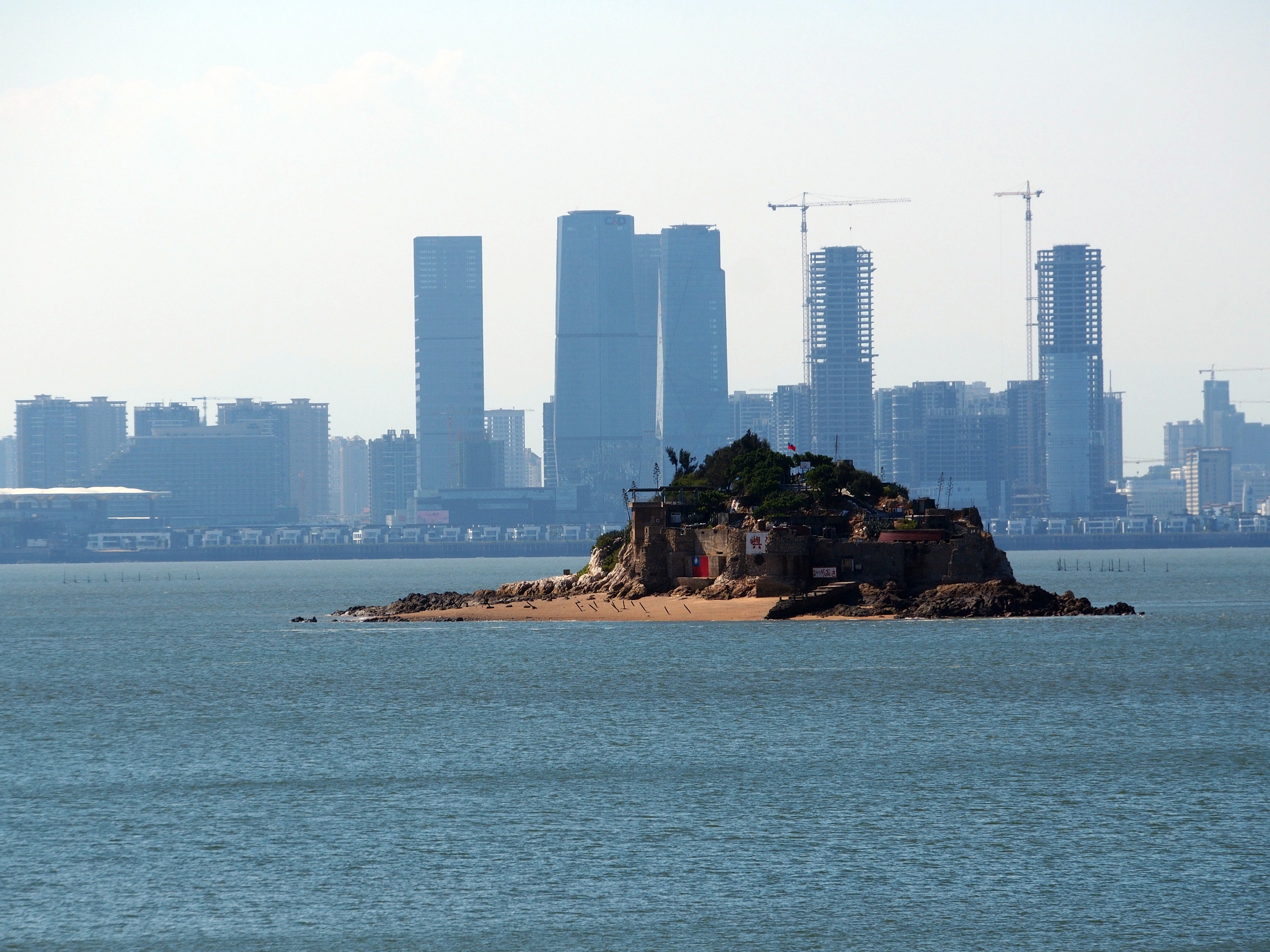
中文(臺灣):遠望獅嶼 - 民國103年9月 中文(简体):远望狮屿 - 2014.09 English: Shi Islet (Lion Islet) (ROC-Taiwan) as seen from Lesser Kinmen (Lieyu), Lieyu Township, Kinmen County, (Fukien Province), ROC (Taiwan) with Siming District, Amoy Island, Xiamen, Fujian Province, PRC (China) in the background, and the beach west of the harbor front hiding the slaughtered fishermen corpses in 1985 - 2014.09 |
||
| Date | Taken on 7 September 2014 | ||
| Source | https://web.archive.org/web/20161101190117/http://www.panoramio.com/photo/116339111 | ||
| Author | rheins | ||
| Permission (Reusing this file) |
This file is licensed under the Creative Commons Attribution 3.0 Unported license. Attribution: rheins
|
||
| Panoramio Tags InfoField | best, 金門 - Kinmen |
| Camera location | 24° 26′ 59.85″ N, 118° 14′ 17.76″ E | View this and other nearby images on: OpenStreetMap |
|---|
Captions
Lion Islet
獅嶼
Items portrayed in this file
depicts
7 September 2014
24°26'59.849"N, 118°14'17.761"E
0.0008 second
7.1
114 millimetre
200
image/jpeg
File history
Click on a date/time to view the file as it appeared at that time.
| Date/Time | Thumbnail | Dimensions | User | Comment | |
|---|---|---|---|---|---|
| current | 01:25, 20 May 2017 | | 4,249 × 3,187 (3.67 MB) | Panoramio upload bot | == {{int:filedesc}} == {{Information |description=远望狮屿 - Lion Islet - 2014.09 |date={{Taken on|2014-09-07}} |source=http://www.panoramio.com/photo/116339111 |author=[http://www.panoramio.com/user/5226993?with_photo_id=116339111 rheins] |permiss... |
File usage
The following pages on the English Wikipedia use this file (pages on other projects are not listed):
Global file usage
The following other wikis use this file:
- Usage on ceb.wikipedia.org
- Usage on fr.wikipedia.org
- Usage on ja.wikipedia.org
- Usage on vi.wikipedia.org
- Usage on www.wikidata.org
- Usage on zh.wikipedia.org
Metadata
This file contains additional information, probably added from the digital camera or scanner used to create or digitize it.
If the file has been modified from its original state, some details may not fully reflect the modified file.
| Image title | OLYMPUS DIGITAL CAMERA |
|---|---|
| Camera manufacturer | OLYMPUS IMAGING CORP. |
| Camera model | E-PL5 |
| Exposure time | 1/1,250 sec (0.0008) |
| F-number | f/7.1 |
| ISO speed rating | 200 |
| Date and time of data generation | 14:59, 7 September 2014 |
| Lens focal length | 114 mm |
| Latitude | 24° 26′ 58.3″ N |
| Longitude | 118° 14′ 17.45″ E |
| Altitude | 27.915 meters above sea level |
| height | 3,187 |
| width | 4,249 |
| Orientation | Normal |
| Horizontal resolution | 350 dpi |
| Vertical resolution | 350 dpi |
| Software used | Version 1.2 |
| File change date and time | 14:59, 7 September 2014 |
| Y and C positioning | Co-sited |
| Exposure Program | Aperture priority |
| Exif version | 2.3 |
| Date and time of digitizing | 14:59, 7 September 2014 |
| Meaning of each component |
|
| Exposure bias | 0 |
| Maximum land aperture | 4 APEX (f/4) |
| Metering mode | Pattern |
| Light source | Unknown |
| Flash | Flash did not fire, auto mode |
| Supported Flashpix version | 1 |
| Color space | sRGB |
| File source | Digital still camera |
| Custom image processing | Normal process |
| Exposure mode | Auto exposure |
| White balance | Auto white balance |
| Digital zoom ratio | 1 |
| Scene capture type | Standard |
| Scene control | None |
| Contrast | Normal |
| Saturation | High saturation |
| Sharpness | Hard |
| GPS time (atomic clock) | 06:59 |
| Geodetic survey data used | WGS-84 |
| GPS date | 7 September 2014 |
| GPS tag version | 0.0.0.2 |