File:WesternAustraliaMap.png
From Wikipedia, the free encyclopedia
Size of this preview: 800 × 576 pixels. Other resolutions: 320 × 230 pixels | 640 × 461 pixels | 1,024 × 737 pixels | 1,280 × 922 pixels | 2,190 × 1,577 pixels.
Original file (2,190 × 1,577 pixels, file size: 152 KB, MIME type: image/png)
| This is a file from the Wikimedia Commons. Information from its description page there is shown below. Commons is a freely licensed media file repository. You can help. |
Summary
| DescriptionWesternAustraliaMap.png |
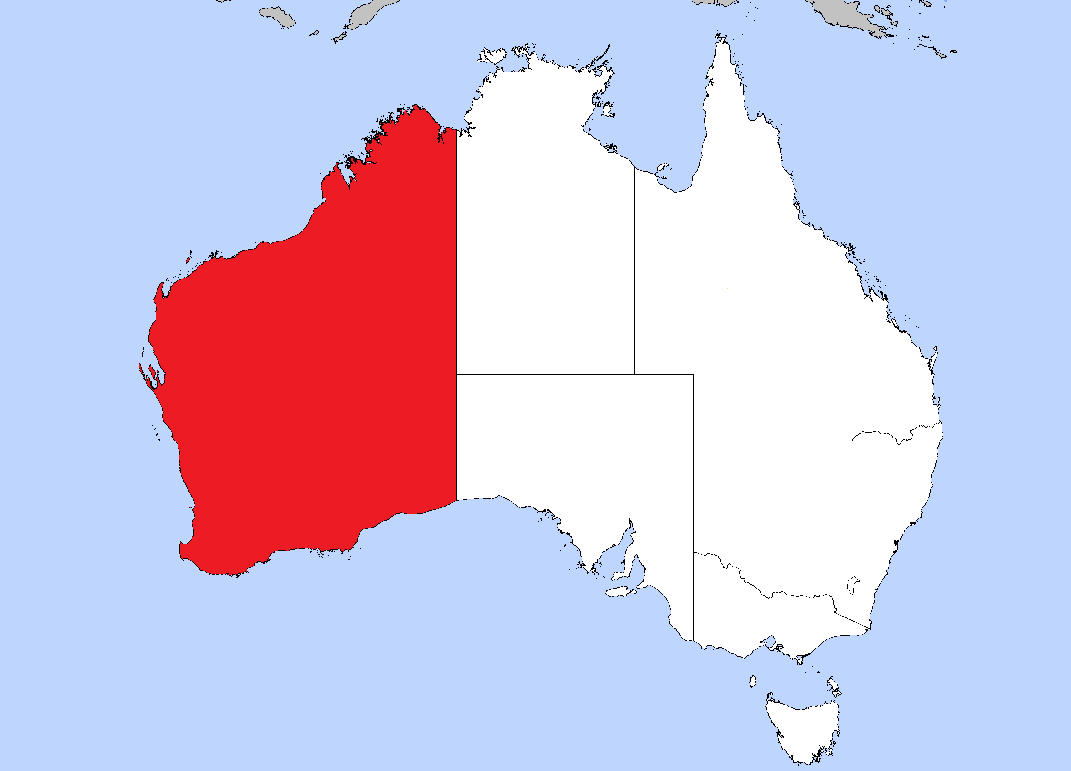
English: A map of the State of Western Australia. |
| Date | |
| Source | Own work |
| Author | Bastian92 |
Licensing
I, the copyright holder of this work, hereby publish it under the following license:
This file is licensed under the Creative Commons Attribution-Share Alike 3.0 Unported license.
- You are free:
- to share – to copy, distribute and transmit the work
- to remix – to adapt the work
- Under the following conditions:
- attribution – You must give appropriate credit, provide a link to the license, and indicate if changes were made. You may do so in any reasonable manner, but not in any way that suggests the licensor endorses you or your use.
- share alike – If you remix, transform, or build upon the material, you must distribute your contributions under the same or compatible license as the original.
Captions
Add a one-line explanation of what this file represents
Items portrayed in this file
depicts
some value
31 August 2011
File history
Click on a date/time to view the file as it appeared at that time.
| Date/Time | Thumbnail | Dimensions | User | Comment | |
|---|---|---|---|---|---|
| current | 09:28, 31 August 2011 | | 2,190 × 1,577 (152 KB) | Bastian92~commonswiki |
File usage
The following pages on the English Wikipedia use this file (pages on other projects are not listed):
Global file usage
The following other wikis use this file:
- Usage on ru.wikipedia.org
- Usage on www.wikidata.org
Retrieved from "https://en.wikipedia.org/wiki/File:WesternAustraliaMap.png"