File:United_States_National_Geodetic_Survey_marker_5667.JPG
From Wikipedia, the free encyclopedia
Size of this preview: 800 × 533 pixels. Other resolutions: 320 × 213 pixels | 640 × 427 pixels | 1,024 × 683 pixels | 1,280 × 853 pixels | 2,560 × 1,707 pixels | 4,272 × 2,848 pixels.
Original file (4,272 × 2,848 pixels, file size: 7.26 MB, MIME type: image/jpeg)
| This is a file from the Wikimedia Commons. Information from its description page there is shown below. Commons is a freely licensed media file repository. You can help. |
Summary
| DescriptionUnited States National Geodetic Survey marker 5667.JPG |
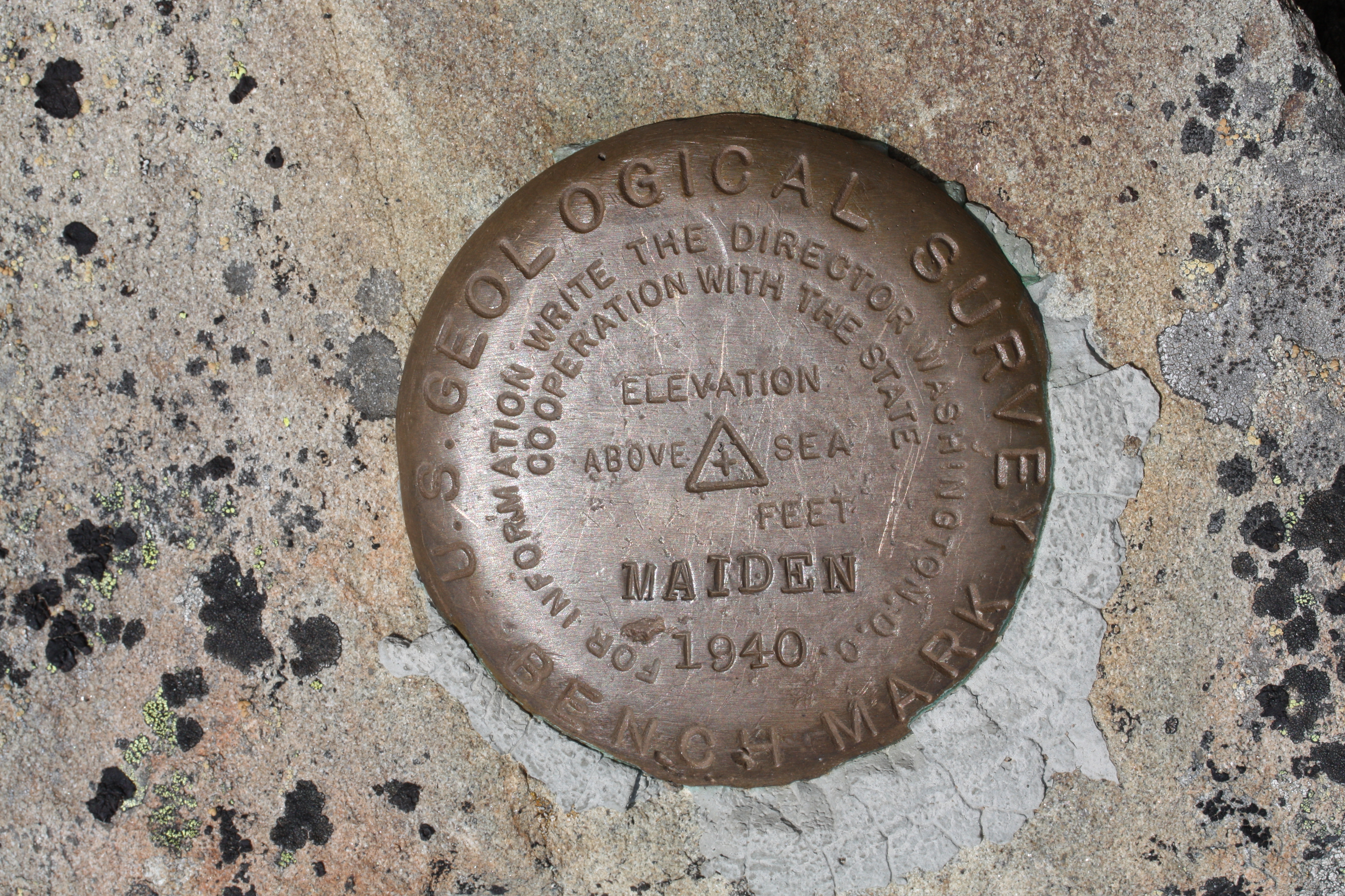
English: United States National Geodetic Survey marker "MAIDEN 1940"; Maiden Peak (Washington); 6434 feet, 1961 m
|
| Date | 30 July 2009, 12:29:19 −07:00 |
| Source | Own work |
| Author | Walter Siegmund (talk) |
| Camera location | 47° 56′ 06″ N, 123° 19′ 13.08″ W | View this and other nearby images on: OpenStreetMap |
|---|
- Location source: Google Earth, Topoquest
- Location Datum: WGS84
- Viewpoint location: Obstruction Point to Deer Park Trail, Olympic National Park
- Viewpoint elevation: 1961 meter (6434 ft)
- Camera: Canon EOS DIGITAL REBEL XSi
- Exposure Time: 1/200
- F Number: f/11.0
- Focal Length: 60.0
- ISO Speed Rating: 100
©2010 Walter Siegmund
Licensing
I, the copyright holder of this work, hereby publish it under the following licenses:

|
Permission is granted to copy, distribute and/or modify this document under the terms of the GNU Free Documentation License, Version 1.2 or any later version published by the Free Software Foundation; with no Invariant Sections, no Front-Cover Texts, and no Back-Cover Texts. A copy of the license is included in the section entitled GNU Free Documentation License.http://www.gnu.org/copyleft/fdl.htmlGFDLGNU Free Documentation Licensetruetrue |
This file is licensed under the Creative Commons Attribution-Share Alike 3.0 Unported, 2.5 Generic, 2.0 Generic and 1.0 Generic license.
- You are free:
- to share – to copy, distribute and transmit the work
- to remix – to adapt the work
- Under the following conditions:
- attribution – You must give appropriate credit, provide a link to the license, and indicate if changes were made. You may do so in any reasonable manner, but not in any way that suggests the licensor endorses you or your use.
- share alike – If you remix, transform, or build upon the material, you must distribute your contributions under the same or compatible license as the original.
You may select the license of your choice.
Captions
Add a one-line explanation of what this file represents
Items portrayed in this file
depicts
some value
47°56'6.0"N, 123°19'13.1"W
0.005 second
11
60 millimetre
100
image/jpeg
File history
Click on a date/time to view the file as it appeared at that time.
| Date/Time | Thumbnail | Dimensions | User | Comment | |
|---|---|---|---|---|---|
| current | 06:06, 9 April 2010 | | 4,272 × 2,848 (7.26 MB) | Wsiegmund | {{Information |Description = {{en|United States National Geodetic Survey marker "MAIDEN 1940"; Maiden Peak (Washington); 6434 feet, 1961 m *PID - SY1638 [http://www.ngs.noaa.gov/cgi-bin/ds_mark.prl] * NAD 83(1991)- 47 56 07.29022(N) 1 |
File usage
The following pages on the English Wikipedia use this file (pages on other projects are not listed):
Global file usage
The following other wikis use this file:
- Usage on fa.wikipedia.org
- Usage on my.wikipedia.org
- Usage on uk.wikipedia.org
Metadata
This file contains additional information, probably added from the digital camera or scanner used to create or digitize it.
If the file has been modified from its original state, some details may not fully reflect the modified file.
| Camera manufacturer | Canon |
|---|---|
| Camera model | Canon EOS DIGITAL REBEL XSi |
| Exposure time | 1/200 sec (0.005) |
| F-number | f/11 |
| ISO speed rating | 100 |
| Date and time of data generation | 12:29, 30 July 2009 |
| Lens focal length | 60 mm |
| Altitude | 1,961 meters above sea level |
| Orientation | Normal |
| Horizontal resolution | 72 dpi |
| Vertical resolution | 72 dpi |
| File change date and time | 12:29, 30 July 2009 |
| Y and C positioning | Co-sited |
| Exposure Program | Manual |
| Exif version | 2.21 |
| Date and time of digitizing | 12:29, 30 July 2009 |
| Shutter speed | 7.625 |
| APEX aperture | 7 |
| Exposure bias | 0 |
| Metering mode | Spot |
| Flash | Flash did not fire, compulsory flash suppression |
| DateTime subseconds | 02 |
| DateTimeOriginal subseconds | 02 |
| DateTimeDigitized subseconds | 02 |
| Color space | sRGB |
| Focal plane X resolution | 4,865.6036446469 |
| Focal plane Y resolution | 4,876.7123287671 |
| Focal plane resolution unit | inches |
| Custom image processing | Normal process |
| Exposure mode | Manual exposure |
| White balance | Auto white balance |
| Scene capture type | Standard |
| North or south latitude | North latitude |
| East or west longitude | West longitude |