File:Tel_Yavneh-Yam_(20).JPG
From Wikipedia, the free encyclopedia
Size of this preview: 800 × 600 pixels. Other resolutions: 320 × 240 pixels | 640 × 480 pixels | 1,024 × 768 pixels | 1,280 × 960 pixels | 2,560 × 1,920 pixels | 3,648 × 2,736 pixels.
Original file (3,648 × 2,736 pixels, file size: 3.25 MB, MIME type: image/jpeg)
| This is a file from the Wikimedia Commons. Information from its description page there is shown below. Commons is a freely licensed media file repository. You can help. |
Summary
| DescriptionTel Yavneh-Yam (20).JPG |
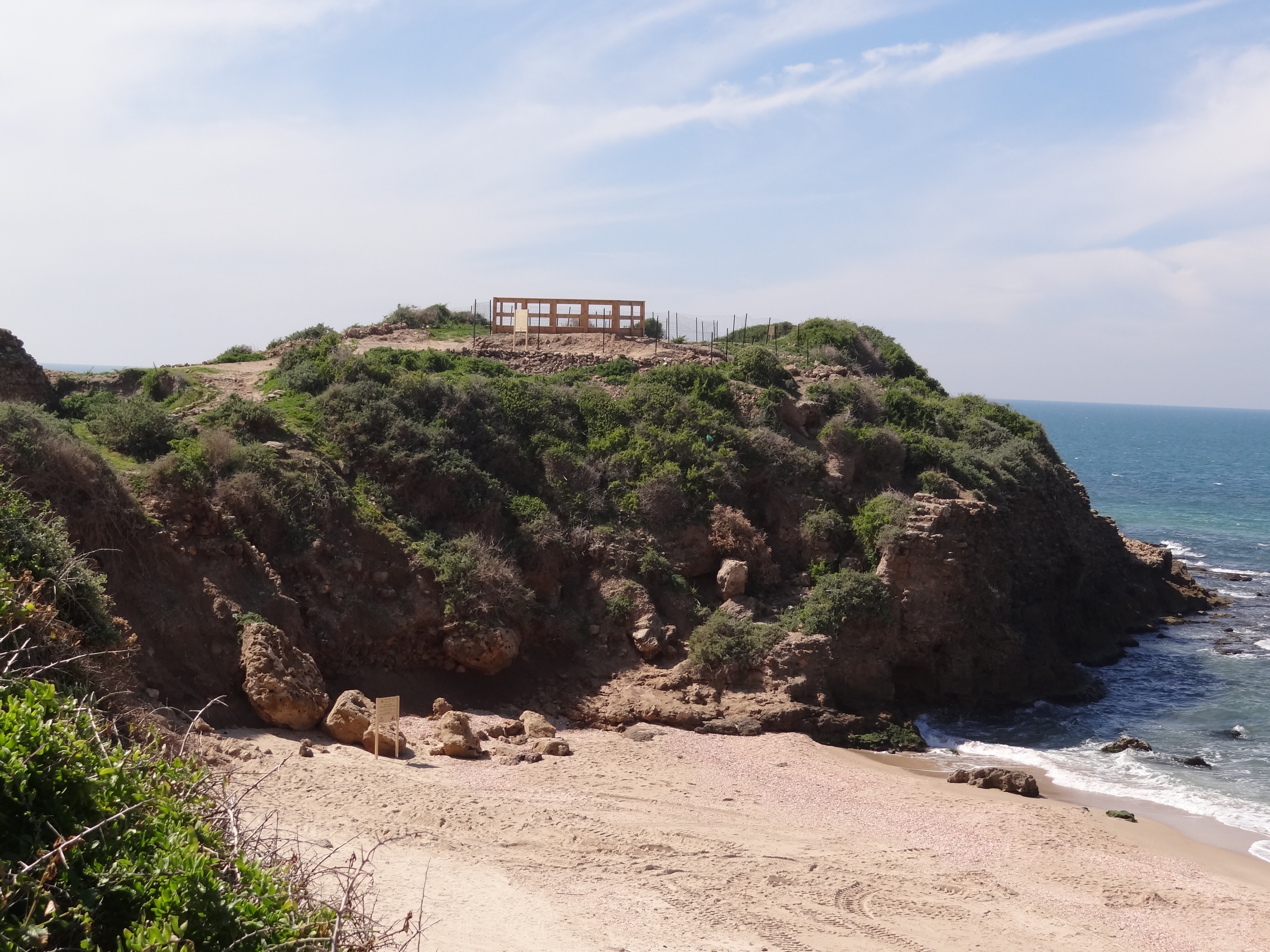
Yavne-Yam is an archaeological site located on Israel's southern Mediterranean coast יבנה-ים הייתה עיר נמל עתיקה בארץ ישראל. יישוב משגשג, אחת מערי הנמל החשובות שמדרום ליפו. האתר ארכאולוגי שוכן על גבי תל בגן הלאומי חוף פלמחים. |
| Date | |
| Source | Own work |
| Author | Hanay |
| Permission (Reusing this file) |
This file is licensed under the Creative Commons Attribution-Share Alike 3.0 Unported license. Attribution: Hanay
|
| Camera location | 31° 55′ 22.43″ N, 34° 41′ 39.91″ E | View this and other nearby images on: OpenStreetMap |
|---|
Captions
Add a one-line explanation of what this file represents
Items portrayed in this file
depicts
7 March 2012
31°55'22.42600"N, 34°41'39.90700"E
0.0008 second
10.05 millimetre
100
image/jpeg
File history
Click on a date/time to view the file as it appeared at that time.
| Date/Time | Thumbnail | Dimensions | User | Comment | |
|---|---|---|---|---|---|
| current | 09:14, 10 May 2012 | | 3,648 × 2,736 (3.25 MB) | Hanay |
File usage
The following pages on the English Wikipedia use this file (pages on other projects are not listed):
Global file usage
The following other wikis use this file:
- Usage on ceb.wikipedia.org
- Usage on es.wikipedia.org
- Usage on he.wikipedia.org
- Usage on www.wikidata.org
Metadata
This file contains additional information, probably added from the digital camera or scanner used to create or digitize it.
If the file has been modified from its original state, some details may not fully reflect the modified file.
| Camera manufacturer | SONY |
|---|---|
| Camera model | DSC-HX100V |
| Exposure time | 1/1,250 sec (0.0008) |
| F-number | f/4 |
| ISO speed rating | 100 |
| Date and time of data generation | 12:33, 7 March 2012 |
| Lens focal length | 10.05 mm |
| Latitude | 31° 55′ 22.43″ N |
| Longitude | 34° 41′ 39.91″ E |
| Altitude | 6.03 meters above sea level |
| Orientation | Normal |
| Horizontal resolution | 72 dpi |
| Vertical resolution | 72 dpi |
| File change date and time | 12:33, 7 March 2012 |
| Y and C positioning | Co-sited |
| Exposure Program | Landscape mode (for landscape photos with the background in focus) |
| Exif version | 2.3 |
| Date and time of digitizing | 12:33, 7 March 2012 |
| Meaning of each component |
|
| Image compression mode | 2 |
| APEX brightness | 10.5953125 |
| Exposure bias | 0 |
| Maximum land aperture | 3 APEX (f/2.83) |
| Metering mode | Pattern |
| Light source | Unknown |
| Flash | Flash did not fire, compulsory flash suppression |
| Supported Flashpix version | 1 |
| Color space | sRGB |
| File source | Digital still camera |
| Scene type | A directly photographed image |
| Custom image processing | Normal process |
| Exposure mode | Auto exposure |
| White balance | Auto white balance |
| Digital zoom ratio | 1 |
| Scene capture type | Landscape |
| Contrast | Normal |
| Saturation | Normal |
| Sharpness | Normal |
| GPS time (atomic clock) | 10:33 |
| Receiver status | Measurement in progress |
| Measurement mode | 3-dimensional measurement |
| Measurement precision | Poor (1.2306) |
| Speed unit | Kilometers per hour |
| Speed of GPS receiver | 0.73 |
| Reference for direction of movement | True direction |
| Direction of movement | 252.61 |
| Reference for direction of image | Magnetic direction |
| Direction of image | 265 |
| Geodetic survey data used | WGS-84 |
| GPS date | 7 March 2012 |
| GPS differential correction | 0 |
| GPS tag version | 0.0.3.2 |
Retrieved from "https://en.wikipedia.org/wiki/File:Tel_Yavneh-Yam_(20).JPG"
.JPG)