File:Salford_City_Stadium_-_geograph.org.uk_-_3076639.jpg
From Wikipedia, the free encyclopedia
Size of this preview: 800 × 479 pixels. Other resolutions: 320 × 192 pixels | 640 × 383 pixels | 1,024 × 613 pixels | 1,280 × 766 pixels | 2,592 × 1,552 pixels.
Original file (2,592 × 1,552 pixels, file size: 757 KB, MIME type: image/jpeg)
| This is a file from the Wikimedia Commons. Information from its description page there is shown below. Commons is a freely licensed media file repository. You can help. |
Summary
| DescriptionSalford City Stadium - geograph.org.uk - 3076639.jpg |
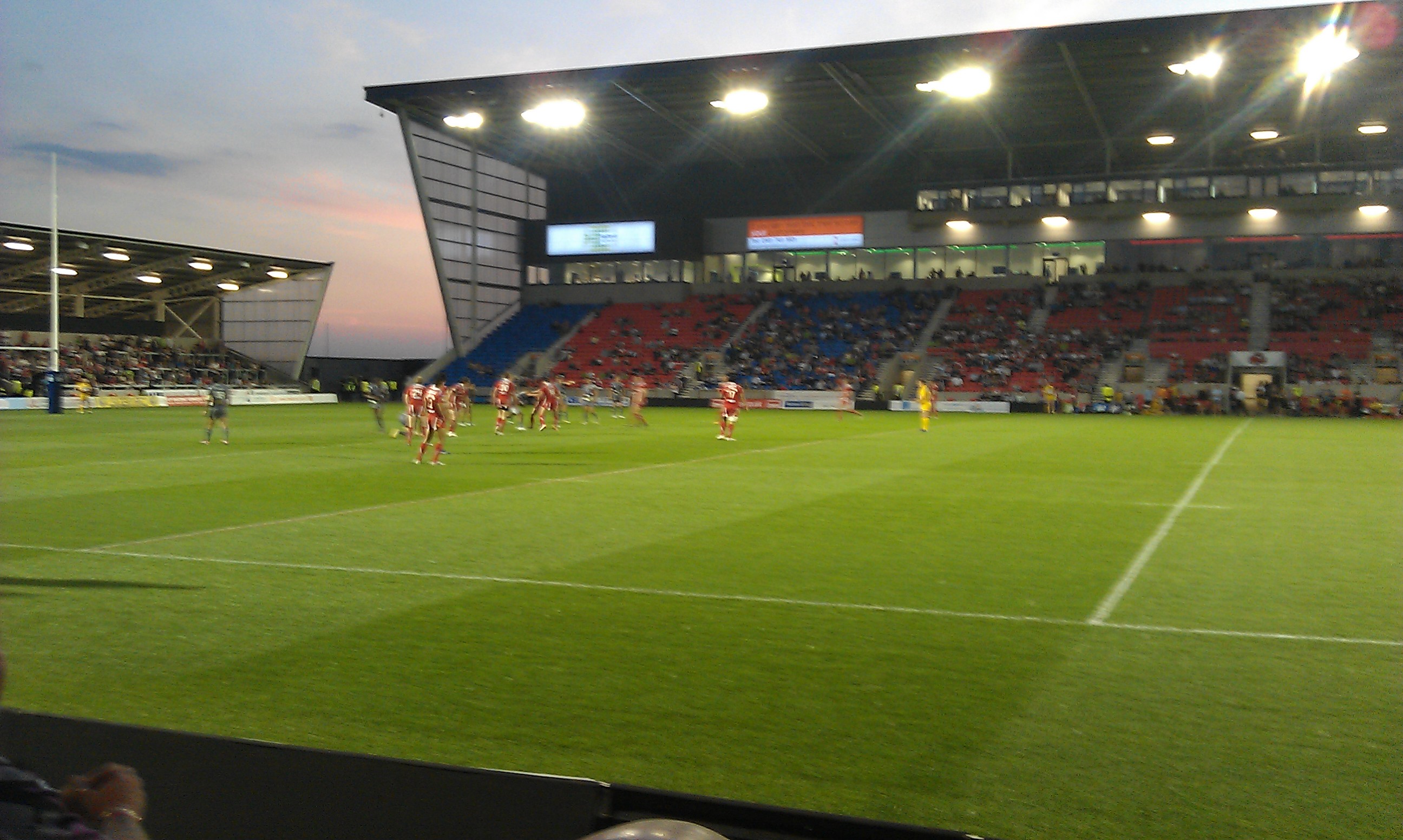
English: Salford City Stadium |
| Depicts InfoField | suburb, Salford, Salford City Stadium |
| Date |
|
| Source |
Geograph Britain and Ireland |
| Author |
John Moorhouse |
| Place of creation InfoField | Salford |
| Camera location | 53° 28′ 14.1″ N, 2° 22′ 29″ W | View this and other nearby images on: OpenStreetMap |
|---|
| Object location | 53° 28′ 15.1″ N, 2° 22′ 32″ W | View this and other nearby images on: OpenStreetMap |
|---|
Licensing

|
This image was taken from the Geograph project collection. See this photograph's page on the Geograph website for the photographer's contact details. The copyright on this image is owned by John Moorhouse
|
This file is licensed under the Creative Commons Attribution-Share Alike 2.0 Generic license.
Attribution: Salford City Stadium by John Moorhouse
- You are free:
- to share – to copy, distribute and transmit the work
- to remix – to adapt the work
- Under the following conditions:
- attribution – You must give appropriate credit, provide a link to the license, and indicate if changes were made. You may do so in any reasonable manner, but not in any way that suggests the licensor endorses you or your use.
- share alike – If you remix, transform, or build upon the material, you must distribute your contributions under the same or compatible license as the original.
| This file has an extracted image: Salford City Stadium - geograph.org.uk - 3076639 (cropped).jpg. | .jpg)
|
Captions
Salford City Stadium
Items portrayed in this file
depicts
some value
10 August 2012
53°28'14.2"N, 2°22'28.6"W
53°28'15.2"N, 2°22'31.8"W
3.53 millimetre
image/jpeg
File history
Click on a date/time to view the file as it appeared at that time.
| Date/Time | Thumbnail | Dimensions | User | Comment | |
|---|---|---|---|---|---|
| current | 21:44, 17 January 2022 | | 2,592 × 1,552 (757 KB) | GeographBot | Uploading geograph.org.uk image from https://www.geograph.org.uk/photo/3076639 |
File usage
The following pages on the English Wikipedia use this file (pages on other projects are not listed):
Global file usage
The following other wikis use this file:
- Usage on de.wikipedia.org
Metadata
This file contains additional information, probably added from the digital camera or scanner used to create or digitize it.
If the file has been modified from its original state, some details may not fully reflect the modified file.
| Camera manufacturer | HTC |
|---|---|
| Camera model | HTC Desire S |
| ISO speed rating | 97 |
| Date and time of data generation | 21:00, 10 August 2012 |
| Lens focal length | 3.53 mm |
| Latitude | 53° 27′ 54.26″ N |
| Longitude | 2° 22′ 19.75″ W |
| Altitude | 0 meters above sea level |
| Horizontal resolution | 72 dpi |
| Vertical resolution | 72 dpi |
| Y and C positioning | Centered |
| Exif version | 2.2 |
| Date and time of digitizing | 21:00, 10 August 2012 |
| Meaning of each component |
|
| Supported Flashpix version | 1 |
| Color space | sRGB |
| GPS time (atomic clock) | 20:00 |
| Geodetic survey data used | WGS-84 |
| GPS date | 10 August 2012 |
| GPS tag version | 2.2.0 |