File:Saint-Martin_collectivity_relief_location_map.jpg
From Wikipedia, the free encyclopedia
Size of this preview: 800 × 578 pixels. Other resolutions: 320 × 231 pixels | 640 × 462 pixels | 1,024 × 740 pixels | 1,175 × 849 pixels.
Original file (1,175 × 849 pixels, file size: 167 KB, MIME type: image/jpeg)
| This is a file from the Wikimedia Commons. Information from its description page there is shown below. Commons is a freely licensed media file repository. You can help. |
Summary
| Camera location | 18° 04′ 07″ N, 63° 03′ 45″ W | View this and other nearby images on: OpenStreetMap |
|---|
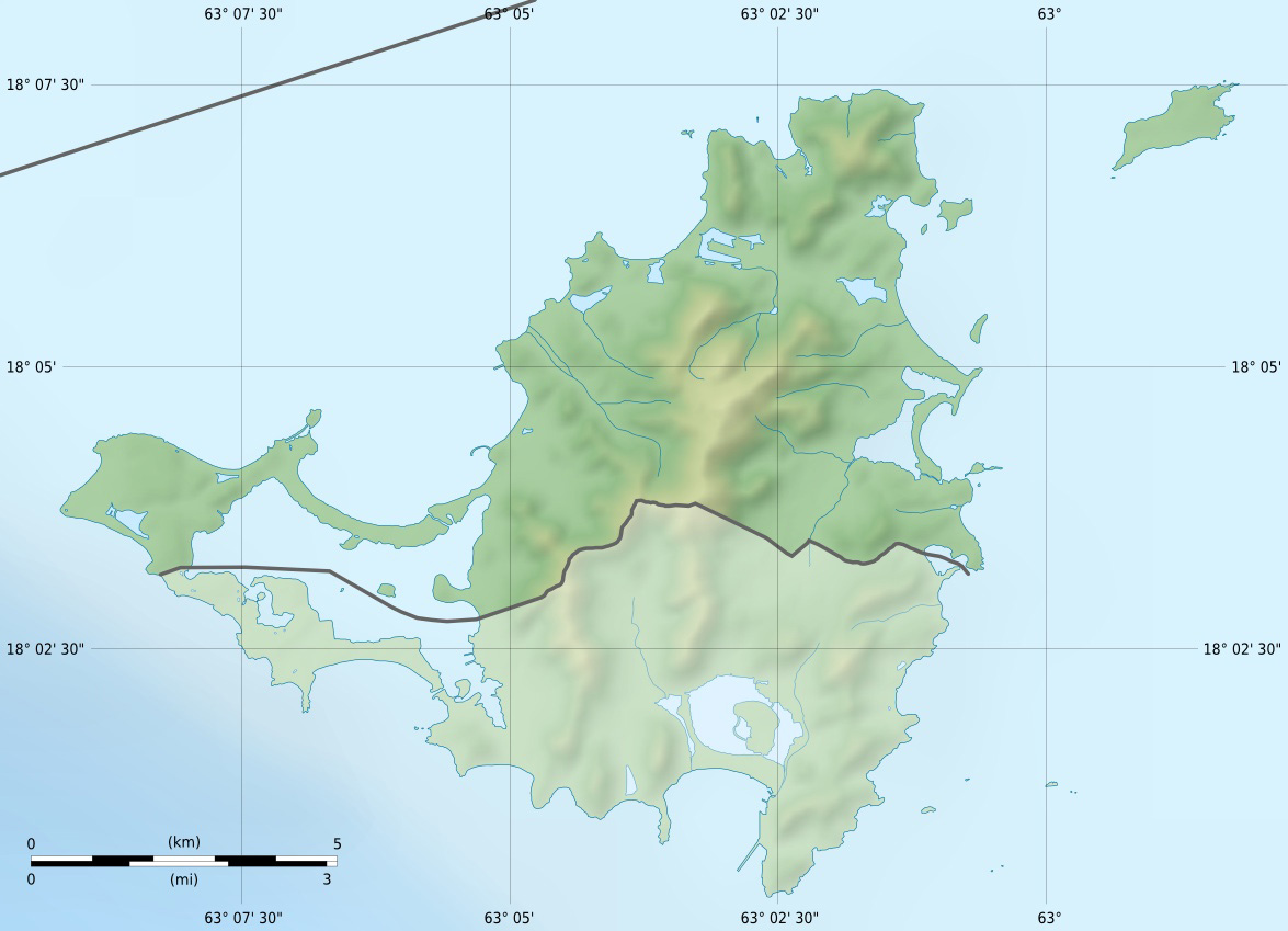
| DescriptionSaint-Martin collectivity relief location map.jpg |
English: Blank physical map of the overseas collectivity of Saint Martin, France, for geo-location purpose.
Français : Carte physique vierge de la collectivité d'outre-mer de Saint-Martin, France, destinée à la géolocalisation. Scales: 1:372,000 (precision: 93 m) for the topography; 1:7,412,000 (precision: 1,853 m) for the bathymetry
Geographic limits of the map:
|
||
| Date | |||
| Source |
Own work
|
||
| Author | Eric Gaba (Sting - fr:Sting) | ||
| Permission (Reusing this file) |
|
||
| Other versions |
|


Licensing
I, the copyright holder of this work, hereby publish it under the following licenses:
This file is licensed under the Creative Commons Attribution-Share Alike 3.0 Unported license.
- You are free:
- to share – to copy, distribute and transmit the work
- to remix – to adapt the work
- Under the following conditions:
- attribution – You must give appropriate credit, provide a link to the license, and indicate if changes were made. You may do so in any reasonable manner, but not in any way that suggests the licensor endorses you or your use.
- share alike – If you remix, transform, or build upon the material, you must distribute your contributions under the same or compatible license as the original.

|
Permission is granted to copy, distribute and/or modify this document under the terms of the GNU Free Documentation License, Version 1.2 or any later version published by the Free Software Foundation; with no Invariant Sections, no Front-Cover Texts, and no Back-Cover Texts. A copy of the license is included in the section entitled GNU Free Documentation License.http://www.gnu.org/copyleft/fdl.htmlGFDLGNU Free Documentation Licensetruetrue |
You may select the license of your choice.
Captions
Add a one-line explanation of what this file represents
Items portrayed in this file
depicts
January 2009
18°4'7.000"N, 63°3'45.000"W
File history
Click on a date/time to view the file as it appeared at that time.
| Date/Time | Thumbnail | Dimensions | User | Comment | |
|---|---|---|---|---|---|
| current | 13:57, 18 July 2010 | | 1,175 × 849 (167 KB) | Sting | Color profile |
| 19:37, 17 January 2009 |  | 1,175 × 849 (140 KB) | Sting | == Summary == {{Location|18|04|07|N|63|03|45|W|scale:100000}} <br/> {{Information |Description={{en|Blank physical map of the overseas collectivity of Saint Martin, France, for geo |
File usage
The following pages on the English Wikipedia use this file (pages on other projects are not listed):
Global file usage
The following other wikis use this file:
- Usage on als.wikipedia.org
- Usage on ar.wikipedia.org
- Usage on ast.wikipedia.org
- Usage on bg.wikipedia.org
- Usage on bs.wikipedia.org
- Usage on ceb.wikipedia.org
- Usage on ckb.wikipedia.org
- Usage on cs.wikipedia.org
- Usage on da.wikipedia.org
- Usage on de.wikipedia.org
- Usage on de.wikivoyage.org
- Usage on eo.wikipedia.org
- Usage on es.wikipedia.org
- Usage on fa.wikipedia.org
- Usage on frr.wikipedia.org
- Usage on fr.wikipedia.org
- Île Tintamarre
- Marigot (Saint-Martin)
- Discussion utilisateur:Pethrus
- Modèle:Géolocalisation/Saint-Martin (Antilles françaises)
- Projet:Cartographie/Cartes standards/France
- Modèle:Géolocdual/Saint-Martin (Antilles françaises)
- Wikipédia:Atelier graphique/Cartes/Archives/avril 2010
- Rambaud (Saint-Martin)
- Colombier (Saint-Martin)
- Saint-Louis (Saint-Martin)
- Saint-James (Saint-Martin)
- Terres-Basses
- Hameau-du-Pont
View more global usage of this file.
Metadata
This file contains additional information, probably added from the digital camera or scanner used to create or digitize it.
If the file has been modified from its original state, some details may not fully reflect the modified file.
| Orientation | Normal |
|---|---|
| Horizontal resolution | 72 dpi |
| Vertical resolution | 72 dpi |
| Software used | Adobe Photoshop 7.0 |
| File change date and time | 10:57, 18 July 2010 |
| Color space | Uncalibrated |