File:Panoramic_of_Juan_Griego_45.jpg
From Wikipedia, the free encyclopedia
Size of this preview: 800 × 491 pixels. Other resolutions: 320 × 197 pixels | 640 × 393 pixels | 1,024 × 629 pixels | 1,280 × 786 pixels | 2,560 × 1,573 pixels | 4,009 × 2,463 pixels.
Original file (4,009 × 2,463 pixels, file size: 12.1 MB, MIME type: image/jpeg)
| This is a file from the Wikimedia Commons. Information from its description page there is shown below. Commons is a freely licensed media file repository. You can help. |
Summary
| DescriptionPanoramic of Juan Griego 45.jpg |
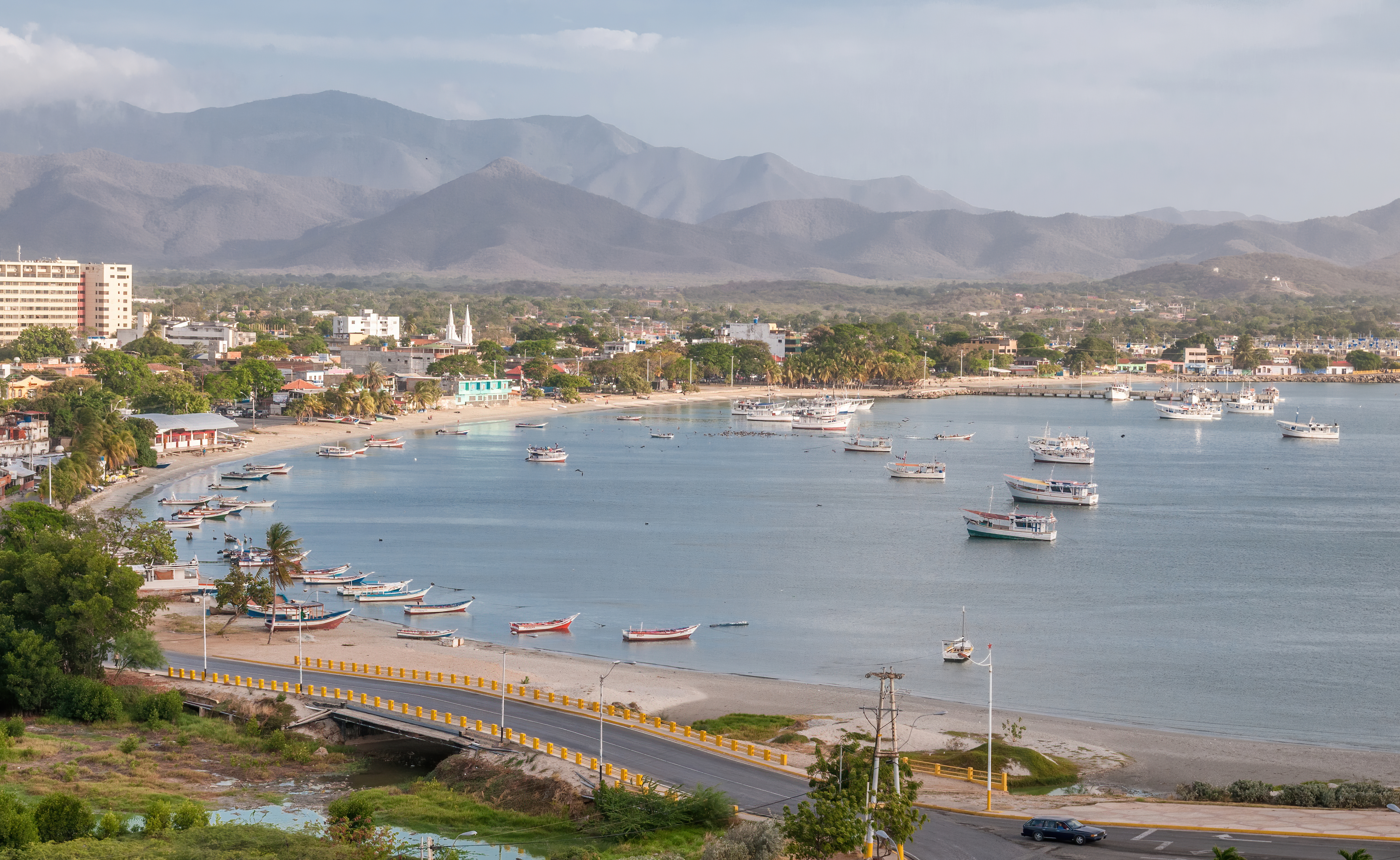
English: Panoramic view of Juan Griego bay from Fort La Galera. Juan Griego is a city on the northern side of Isla Margarita, and is the most northern port in Venezuela.
Español: Vista panorámica de la bahía de Juan Griego desde el Fortín de La Galera. Juan Griego es una ciudad al lado norte de la Isla Margarita y es el puerto más septentrional de Venezuela. |
| Date | |
| Source | Own work |
| Author | Wilfredor |
| Camera location | 11° 05′ 18.45″ N, 63° 58′ 28.55″ W | View this and other nearby images on: OpenStreetMap |
|---|
|
Licensing
I, the copyright holder of this work, hereby publish it under the following license:
| This file is made available under the Creative Commons CC0 1.0 Universal Public Domain Dedication. | |
| The person who associated a work with this deed has dedicated the work to the public domain by waiving all of their rights to the work worldwide under copyright law, including all related and neighboring rights, to the extent allowed by law. You can copy, modify, distribute and perform the work, even for commercial purposes, all without asking permission.
http://creativecommons.org/publicdomain/zero/1.0/deed.enCC0Creative Commons Zero, Public Domain Dedicationfalsefalse |
Captions
Add a one-line explanation of what this file represents
Items portrayed in this file
depicts
11°5'18.44999"N, 63°58'28.55399"W
24 April 2014
0.004 second
42 millimetre
250
image/jpeg
File history
Click on a date/time to view the file as it appeared at that time.
| Date/Time | Thumbnail | Dimensions | User | Comment | |
|---|---|---|---|---|---|
| current | 19:17, 29 February 2020 | | 4,009 × 2,463 (12.1 MB) | Wilfredor | improve sharpening and noise |
| 02:32, 1 May 2014 |  | 4,009 × 2,463 (6 MB) | Wilfredor | Expotision -- | |
| 02:30, 27 April 2014 |  | 4,009 × 2,463 (5.97 MB) | Wilfredor | User created page with UploadWizard |
File usage
The following pages on the English Wikipedia use this file (pages on other projects are not listed):
Global file usage
The following other wikis use this file:
- Usage on ar.wikipedia.org
- Usage on arz.wikipedia.org
- Usage on ast.wikipedia.org
- Usage on az.wikipedia.org
- Usage on be.wikipedia.org
- Usage on ca.wikipedia.org
- Usage on ceb.wikipedia.org
- Usage on de.wikipedia.org
- Usage on de.wikivoyage.org
- Usage on en.wikivoyage.org
- Usage on eo.wikipedia.org
- Usage on es.wikipedia.org
- Usage on es.wikivoyage.org
- Usage on eu.wikipedia.org
- Usage on fa.wikipedia.org
- Usage on fi.wikipedia.org
- Usage on fr.wikipedia.org
- Usage on fr.wikivoyage.org
- Usage on gl.wikipedia.org
- Usage on he.wikipedia.org
- Usage on he.wikivoyage.org
- Usage on hu.wikipedia.org
- Usage on hy.wikipedia.org
- Usage on it.wikipedia.org
- Usage on it.wikivoyage.org
- Usage on ka.wikipedia.org
- Usage on lb.wikipedia.org
- Usage on mg.wikipedia.org
- Usage on nn.wikipedia.org
- Usage on no.wikipedia.org
- Usage on os.wikipedia.org
- Usage on pap.wikipedia.org
- Usage on pl.wikipedia.org
- Usage on pl.wikivoyage.org
- Usage on pt.wikipedia.org
- Usage on ro.wikipedia.org
View more global usage of this file.
Metadata
This file contains additional information, probably added from the digital camera or scanner used to create or digitize it.
If the file has been modified from its original state, some details may not fully reflect the modified file.
| Camera manufacturer | NIKON CORPORATION |
|---|---|
| Camera model | NIKON D300 |
| Exposure time | 1/250 sec (0.004) |
| F-number | f/8 |
| ISO speed rating | 250 |
| Date and time of data generation | 16:52, 24 April 2014 |
| Lens focal length | 42 mm |
| Latitude | 11° 5′ 18.45″ N |
| Longitude | 63° 58′ 28.55″ W |
| Altitude | 47 meters above sea level |
| Width | 4,009 px |
| Height | 2,463 px |
| Bits per component |
|
| Orientation | Normal |
| Number of components | 3 |
| Software used | Adobe Photoshop CC (Windows) |
| File change date and time | 22:00, 30 April 2014 |
| Exposure Program | Normal program |
| Exif version | 2.3 |
| Date and time of digitizing | 16:52, 24 April 2014 |
| Shutter speed | 7.965784 |
| APEX aperture | 6 |
| Exposure bias | 0 |
| Maximum land aperture | 3 APEX (f/2.83) |
| Metering mode | Pattern |
| Light source | Unknown |
| Flash | Flash did not fire |
| DateTimeOriginal subseconds | 32 |
| DateTimeDigitized subseconds | 32 |
| Color space | sRGB |
| Sensing method | One-chip color area sensor |
| File source | Digital still camera |
| Scene type | A directly photographed image |
| Custom image processing | Normal process |
| Exposure mode | Auto exposure |
| White balance | Auto white balance |
| Digital zoom ratio | 1 |
| Focal length in 35 mm film | 63 mm |
| Scene capture type | Standard |
| Scene control | None |
| Contrast | Normal |
| Saturation | Normal |
| Sharpness | Normal |
| Subject distance range | Unknown |
| GPS time (atomic clock) | 21:26 |
| Satellites used for measurement | 11 |
| GPS date | 24 April 2014 |
| GPS tag version | 0.0.2.2 |
| Date metadata was last modified | 17:30, 30 April 2014 |
| Unique ID of original document | 8C87A20DCFD3C76849AF5128780584FF |
Retrieved from "https://en.wikipedia.org/wiki/File:Panoramic_of_Juan_Griego_45.jpg"