File:Palestine_location_map_wide.png
From Wikipedia, the free encyclopedia
Size of this preview: 322 × 598 pixels. Other resolutions: 129 × 240 pixels | 614 × 1,141 pixels.
Original file (614 × 1,141 pixels, file size: 103 KB, MIME type: image/png)
| This is a file from the Wikimedia Commons. Information from its description page there is shown below. Commons is a freely licensed media file repository. You can help. |
Summary
| DescriptionPalestine location map wide.png |
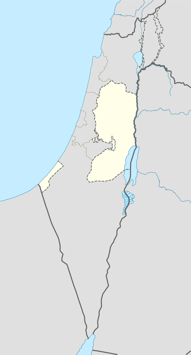
English: West Bank area with wider view for better perspective. longitude 33.7 to 36.3 and latitude 33.5 to 29.3. Change in fill colour only. |
| Source | File:Israel location map.svg |
| Author | NordNordWest |
Licensing
This file is licensed under the Creative Commons Attribution-Share Alike 3.0 Unported license.
- You are free:
- to share – to copy, distribute and transmit the work
- to remix – to adapt the work
- Under the following conditions:
- attribution – You must give appropriate credit, provide a link to the license, and indicate if changes were made. You may do so in any reasonable manner, but not in any way that suggests the licensor endorses you or your use.
- share alike – If you remix, transform, or build upon the material, you must distribute your contributions under the same or compatible license as the original.
Captions
Add a one-line explanation of what this file represents
Biblical
Items portrayed in this file
depicts
image/png
File history
Click on a date/time to view the file as it appeared at that time.
| Date/Time | Thumbnail | Dimensions | User | Comment | |
|---|---|---|---|---|---|
| current | 08:33, 16 July 2014 | | 614 × 1,141 (103 KB) | Enoough kept | {{Information |Description ={{en|1=Palestine area with wider area for better perspective. longitude 33.7 to 36.3 and latitude 33.5 to 29.3. Change in fill colour only.}} |Source =File:Israel location map.svg |Author =NordNordWest |Da... |
File usage
More than 100 pages use this file. The following list shows the first 100 pages that use this file only. A full list is available.
- Abasan al-Kabira
- Abasan al-Saghira
- Aboud
- Abu Dis
- Ad-Dhahiriya
- Al-Bireh
- Al-Khader
- Al-Mawasi
- Al-Walaja
- Al Jib
- Alexandrium
- Anzah
- Aqabah
- Arraba, Jenin
- As-Samu
- Askar Camp
- Balata Camp
- Bani Suheila
- Battir
- Battle of the Yarmuk
- Beit Hanina
- Beit Hanoun
- Beit Jala
- Beit Lahia
- Beit Lid
- Beit Sahour
- Beit Ur al-Tahta
- Bethany
- Bethlehem
- Bil'in
- Birzeit
- Bureij
- Cave of the Patriarchs
- Cave of the Patriarchs massacre
- Deir Ballut
- Deir Dibwan
- Deir al-Balah
- Deir al-Balah Camp
- Dheisheh
- Ein Yabrud
- Eli (Israeli settlement)
- Fandaqumiya
- Faqqua
- Gaza City
- Hajjah, Qalqilya
- Halhul
- Hebron
- Hisham's Palace
- Hizma
- Husan
- Huwara
- Iktaba
- Immatain
- Jabalia
- Jayyous
- Jenin
- Jericho
- Jericho synagogue
- Jerusalem
- Kafr Abbush
- Kafr Jammal
- Khan Yunis
- Kifl Haris
- List of top-division football clubs in AFC countries
- Maghazi (camp)
- Mount Ebal
- Mount Gerizim
- Naaran
- Nablus
- Nahalin
- Neve Dekalim
- Nili (Israeli settlement)
- Ofra
- Qabatiya
- Qalandia
- Qalqilya
- Qibya
- Qumran
- Rachel's Tomb
- Rafah
- Rafah Camp
- Rafat, Jerusalem
- Ramallah
- Salfit
- Sebastia, Nablus
- Sha'arei Tikva
- Shuqba
- Silwad
- Tal Menashe
- Taybeh
- Teqoa
- Tomb of Samuel
- Tubas (city)
- Tulkarm
- Tulkarm Camp
- Turmus Ayya
- Umm ar-Rihan
- Ya'bad
- Yatta, Hebron
- Zababdeh
View more links to this file.
Global file usage
The following other wikis use this file:
- Usage on af.wikipedia.org
- Usage on ar.wikipedia.org
- Usage on ast.wikipedia.org
- Gaza
- Xerusalén Este
- Belén
- Territorios Palestinos
- Universidá Nacional An-Najah
- Aeropuertu Internacional Yasser Arafat
- Aeropuertu de Gaza
- Aeropuertu de Muqeible
- Módulu:Mapa de llocalización/datos/Estáu de Palestina
- Módulu:Mapa de llocalización/datos/Estáu de Palestina/usu
- Cúpula de la Roca
- Nablus
- Torre de David
- Usage on bn.wikipedia.org
- Usage on br.wikipedia.org
- Usage on bs.wikipedia.org
- Usage on cdo.wikipedia.org
- Usage on ceb.wikipedia.org
- Usage on el.wikipedia.org
View more global usage of this file.
Metadata
This file contains additional information, probably added from the digital camera or scanner used to create or digitize it.
If the file has been modified from its original state, some details may not fully reflect the modified file.
| Horizontal resolution | 37.8 dpc |
|---|---|
| Vertical resolution | 37.8 dpc |
Retrieved from "https://en.wikipedia.org/wiki/File:Palestine_location_map_wide.png"