File:P06-UT-positiekaart2-gemlabels.png
From Wikipedia, the free encyclopedia
Size of this preview: 794 × 600 pixels. Other resolutions: 318 × 240 pixels | 635 × 480 pixels | 1,015 × 767 pixels.
Original file (1,015 × 767 pixels, file size: 586 KB, MIME type: image/png)
| This is a file from the Wikimedia Commons. Information from its description page there is shown below. Commons is a freely licensed media file repository. You can help. |
Summary
| DescriptionP06-UT-positiekaart2-gemlabels.png |
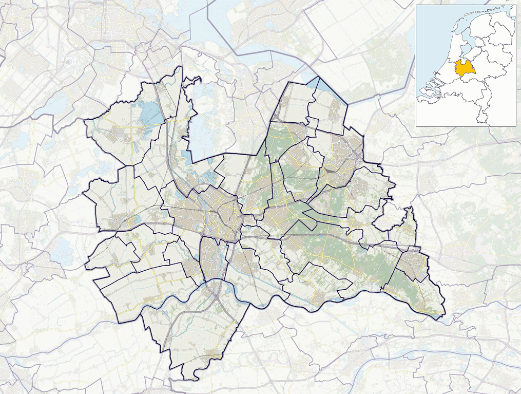
Nederlands: Positiekaartje van de provincie, variant "gemeentelabels" |
| Date | |
| Source | Own work |
| Author | Janwillemvanaalst |
Licensing
I, the copyright holder of this work, hereby publish it under the following license:
This file is licensed under the Creative Commons Attribution-Share Alike 4.0 International license.
- You are free:
- to share – to copy, distribute and transmit the work
- to remix – to adapt the work
- Under the following conditions:
- attribution – You must give appropriate credit, provide a link to the license, and indicate if changes were made. You may do so in any reasonable manner, but not in any way that suggests the licensor endorses you or your use.
- share alike – If you remix, transform, or build upon the material, you must distribute your contributions under the same or compatible license as the original.
Captions
Add a one-line explanation of what this file represents
Items portrayed in this file
depicts
some value
1 January 2017
File history
Click on a date/time to view the file as it appeared at that time.
| Date/Time | Thumbnail | Dimensions | User | Comment | |
|---|---|---|---|---|---|
| current | 09:40, 19 January 2019 | | 1,015 × 767 (586 KB) | Janwillemvanaalst | Update due to adjusted province border Utrecht - Zuid-Holland as per 2019. |
| 16:47, 1 January 2017 |  | 1,015 × 767 (575 KB) | Janwillemvanaalst | Map layers update as of 2017 | |
| 11:15, 17 January 2016 |  | 1,015 × 767 (570 KB) | Janwillemvanaalst | Added NL index frame | |
| 20:11, 11 January 2016 |  | 1,015 × 767 (584 KB) | Janwillemvanaalst | User created page with UploadWizard |
File usage
More than 100 pages use this file. The following list shows the first 100 pages that use this file only. A full list is available.
- 't Goy
- Aan de Zuwe
- Achterberg
- Achterbos
- Achterdijk, Vijfheerenlanden
- Achterveld
- Achterwetering
- Achthoven, Montfoort
- Achthoven, Vijfheerenlanden
- Achttienhoven, Utrecht
- Amerongen
- Amstelhoek
- Austerlitz, Netherlands
- Baambrugse Zuwe
- Barwoutswaarder
- Benschop, Utrecht
- Blauwkapel
- Blokland, Utrecht
- Broek, Vijfheerenlanden
- Cabauw
- Cattenbroek
- Cothen
- Darthuizen
- De Hoef, Utrecht
- Den Dolder
- Doorn
- Drakensteyn Castle
- Driebergen
- Eembrugge
- Elst, Utrecht
- Everdingen
- Geer, Vijfheerenlanden
- Gerverscop
- Groenekan
- Groenlandsekade
- Hagestein
- Harmelerwaard
- Heemstede, Utrecht
- Hei- en Boeicop
- Hekendorp
- Hoenkoop
- Hollandsche Rading
- Hooglanderveen
- Huis Doorn
- Jaarsveld
- Kamerik-Mijzijde
- Kanis
- Kockengen
- Kortenhoeven
- Kortrijk, Netherlands
- Lakerveld
- Langbroek
- Lange Linschoten
- Leerbroek
- Leusden-Zuid
- Lexmond
- Linschoten (village)
- Loenen aan de Vecht
- Loenersloot
- Lopikerkapel
- Maarsbergen
- Maartensdijk
- Mastwijk
- Meerkerk
- Meije, Netherlands
- Middelkoop
- Mijnden
- Nieuwe-Wetering
- Nieuwer-Ter-Aa
- Nieuwland, Vijfheerenlanden
- Nigtevecht
- Odijk
- Oud-Aa
- Oud-Kamerik
- Oud-Leusden
- Oud-Maarsseveen
- Oud-Wulven
- Oud-Zuilen
- Oukoop, Utrecht
- Overberg, Netherlands
- Papekop
- Railway Museum (Netherlands)
- Reijerscop
- Rietveld, Woerden
- Ruigeweide
- Scheendijk
- Snelrewaard
- Soestdijk
- Soestduinen
- Soesterberg
- Spengen
- Stokkelaarsbrug
- Stoutenburg
- Teckop
- Tienhoven, Stichtse Vecht
- Tienhoven aan de Lek
- Tull en 't Waal
- Vinkenkade
- Vinkeveen
- Werkhoven
View more links to this file.
Global file usage
The following other wikis use this file:
- Usage on arz.wikipedia.org
- Usage on da.wikipedia.org
- Usage on fa.wikipedia.org
- Usage on fy.wikipedia.org
- Us Leaffrou Ter Iem
- Stasjon Baarn
- Berjocht:Posysjekaart Utert
- Stasjon Schalkwijk
- Stasjon Amersfoart Sintraal
- Stasjon Soestduinen
- Stasjon Bilthoven
- Stasjon Den Dolder
- Stasjon Amersfoart Schothorst
- Stasjon Amersfoart Vathorst
- Stasjon Hoevelaken
- Stasjon Abcoude
- Stasjon Breukelen
- Stasjon Maarssen
- Stasjon Bunnik
- Stasjon Driebergen-Seist
- Stasjon Maarn
- Usage on ja.wikipedia.org
- Usage on nl.wikipedia.org
- Dorestad
- Cothen
- Linschoten (dorp)
- Austerlitz (Nederland)
- Soesterberg
- Wilnis
- Abcoude
- Amerongen
- Breukelen (Utrecht)
- Doorn (Utrecht)
- Driebergen-Rijsenburg
- Leersum
- Maarn
- Maarssen
- Vianen (Utrecht)
- Leerdam
- Zederik
- Kockengen
- Vreeland
- Loenen aan de Vecht
- Elst (Utrecht)
- Overberg (Utrechtse Heuvelrug)
- Hagestein
- Nationaal Park Utrechtse Heuvelrug
- Oud-Zuilen
View more global usage of this file.
Metadata
This file contains additional information, probably added from the digital camera or scanner used to create or digitize it.
If the file has been modified from its original state, some details may not fully reflect the modified file.
| Horizontal resolution | 72 dpi |
|---|---|
| Vertical resolution | 72 dpi |
| Color space | sRGB |
| Image width | 1,015 px |
| Image height | 767 px |
| Software used | Adobe Photoshop Elements 15.0 (Windows) |
| Date and time of digitizing | 11:29, 19 January 2019 |
| Date metadata was last modified | 11:30, 19 January 2019 |
| File change date and time | 11:30, 19 January 2019 |
| Unique ID of original document | xmp.did:9bd44de8-c733-df42-9dde-a9fdbb16d581 |