File:Map-Africa-Regions-Islands.png
From Wikipedia, the free encyclopedia
Size of this preview: 577 × 600 pixels. Other resolutions: 231 × 240 pixels | 462 × 480 pixels | 991 × 1,030 pixels.
Original file (991 × 1,030 pixels, file size: 337 KB, MIME type: image/png)
| This is a file from the Wikimedia Commons. Information from its description page there is shown below. Commons is a freely licensed media file repository. You can help. |
Summary
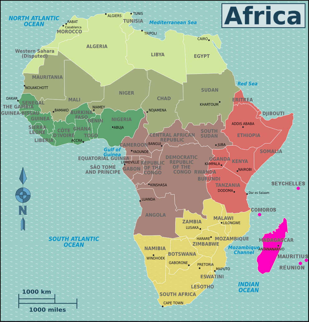
| DescriptionMap-Africa-Regions-Islands.png |
Svenska: Africa |
| Date | |
| Source | File:Map-Africa-Regions.png |
| Author | Nick Roux and Peter Fitzgerald, amendments by Cacahuate, Burmesedays, Joelf, LtPowers and Yvwv |
Licensing
| This file is made available under the Creative Commons CC0 1.0 Universal Public Domain Dedication. | |
| The person who associated a work with this deed has dedicated the work to the public domain by waiving all of their rights to the work worldwide under copyright law, including all related and neighboring rights, to the extent allowed by law. You can copy, modify, distribute and perform the work, even for commercial purposes, all without asking permission.
http://creativecommons.org/publicdomain/zero/1.0/deed.enCC0Creative Commons Zero, Public Domain Dedicationfalsefalse |
Captions
Add a one-line explanation of what this file represents
Items portrayed in this file
depicts
30 April 2017
File history
Click on a date/time to view the file as it appeared at that time.
| Date/Time | Thumbnail | Dimensions | User | Comment | |
|---|---|---|---|---|---|
| current | 19:07, 12 November 2021 | | 991 × 1,030 (337 KB) | Shaundd | Comores to Comoros (use EN spelling for en.voy map) |
| 07:00, 17 March 2019 |  | 991 × 1,030 (336 KB) | Shaundd | Swaziland > Eswatini | |
| 00:49, 30 April 2017 |  | 991 × 1,030 (358 KB) | Yvwv | User created page with UploadWizard |
File usage
The following pages on the English Wikipedia use this file (pages on other projects are not listed):
Global file usage
The following other wikis use this file:
- Usage on bn.wikivoyage.org
- Usage on en.wikivoyage.org
- Usage on eu.wikipedia.org
- Usage on incubator.wikimedia.org
- Usage on it.wikivoyage.org
- Usage on nl.wikipedia.org
- Usage on pl.wikivoyage.org
- Usage on shn.wikivoyage.org
- Usage on si.wikipedia.org
- Usage on sw.wikipedia.org
- Usage on tum.wikipedia.org
Metadata
This file contains additional information, probably added from the digital camera or scanner used to create or digitize it.
If the file has been modified from its original state, some details may not fully reflect the modified file.
| Lens used | |
|---|---|
| Height | 1,030 px |
| Width | 991 px |
| Horizontal resolution | 70 dpi |
| Vertical resolution | 70 dpi |
| Image width | 991 px |
| Image height | 1,030 px |
| Color space | sRGB |
| File change date and time | 01:07, 12 November 2021 |
| Date metadata was last modified | 01:07, 12 November 2021 |
Retrieved from "https://en.wikipedia.org/wiki/File:Map-Africa-Regions-Islands.png"