File:Loch_Tarbert_Aerial.jpg
From Wikipedia, the free encyclopedia
Size of this preview: 800 × 450 pixels. Other resolutions: 320 × 180 pixels | 640 × 360 pixels | 1,024 × 576 pixels | 1,280 × 720 pixels | 2,560 × 1,440 pixels | 4,000 × 2,250 pixels.
Original file (4,000 × 2,250 pixels, file size: 5.94 MB, MIME type: image/jpeg)
| This is a file from the Wikimedia Commons. Information from its description page there is shown below. Commons is a freely licensed media file repository. You can help. |
Summary
| DescriptionLoch Tarbert Aerial.jpg |
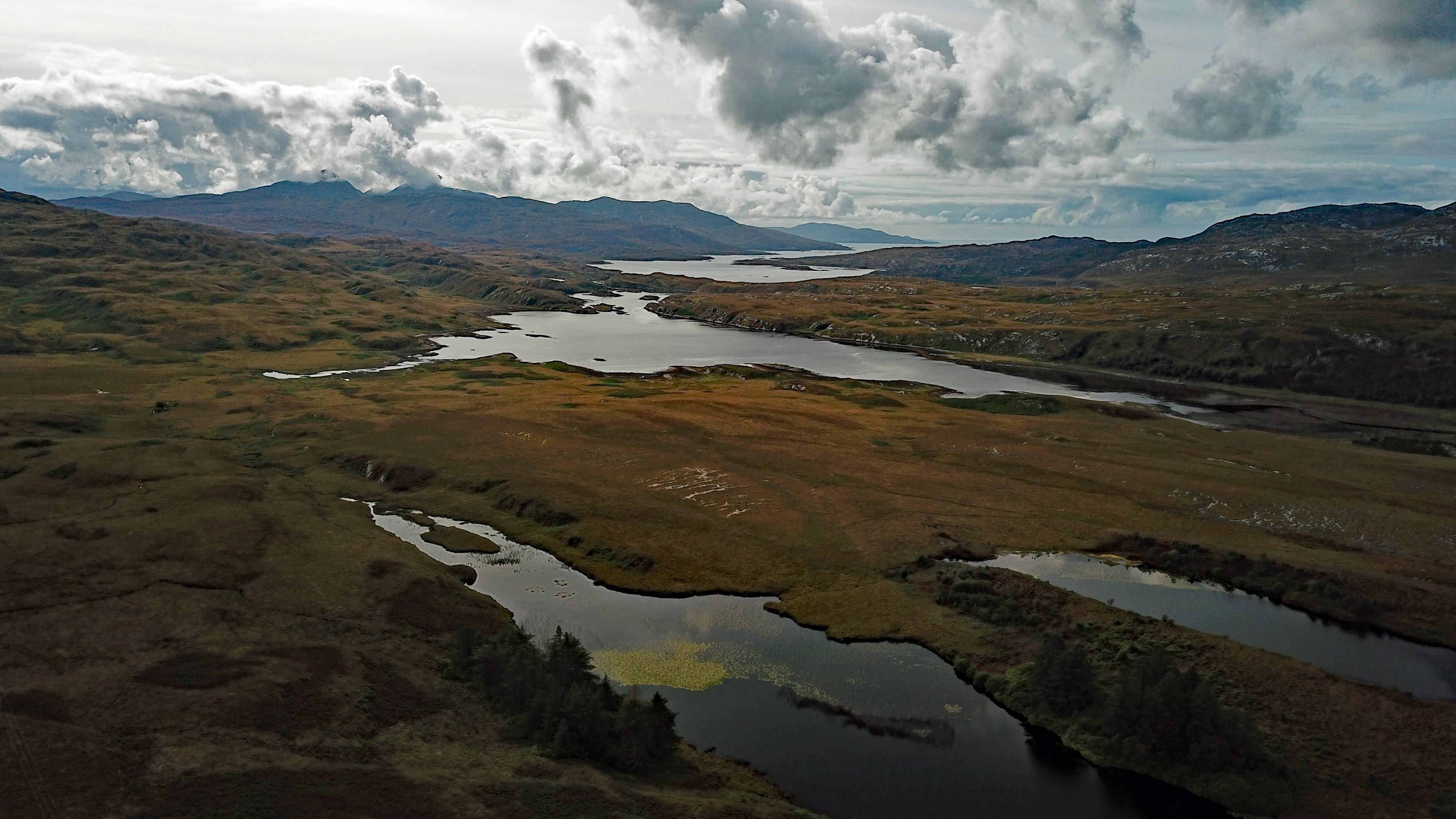
English: Loch Tarbert |
|||||||||||||||||||
| Date | ||||||||||||||||||||
| Source | Own work | |||||||||||||||||||
| Author |
creator QS:P170,Q89050498 |
|||||||||||||||||||
| Camera location | 55° 59′ 17.29″ N, 5° 50′ 02.45″ W | View this and other nearby images on: OpenStreetMap |
|---|
Licensing
I, the copyright holder of this work, hereby publish it under the following license:
This file is licensed under the Creative Commons Attribution-Share Alike 4.0 International license.
- You are free:
- to share – to copy, distribute and transmit the work
- to remix – to adapt the work
- Under the following conditions:
- attribution – You must give appropriate credit, provide a link to the license, and indicate if changes were made. You may do so in any reasonable manner, but not in any way that suggests the licensor endorses you or your use.
- share alike – If you remix, transform, or build upon the material, you must distribute your contributions under the same or compatible license as the original.
Captions
Add a one-line explanation of what this file represents
Items portrayed in this file
depicts
some value
55°59'17.286"N, 5°50'2.454"W
18 September 2017
0.000798 second
2.2
4.73 millimetre
100
File history
Click on a date/time to view the file as it appeared at that time.
| Date/Time | Thumbnail | Dimensions | User | Comment | |
|---|---|---|---|---|---|
| current | 16:42, 2 October 2017 | | 4,000 × 2,250 (5.94 MB) | PaulT | User created page with UploadWizard |
File usage
The following pages on the English Wikipedia use this file (pages on other projects are not listed):
Global file usage
The following other wikis use this file:
- Usage on de.wikipedia.org
- Usage on www.wikidata.org
Metadata
This file contains additional information, probably added from the digital camera or scanner used to create or digitize it.
If the file has been modified from its original state, some details may not fully reflect the modified file.
| Image title |
|
|---|---|
| Camera manufacturer | DJI |
| Camera model | FC220 |
| Exposure time | 399/500,000 sec (0.000798) |
| F-number | f/2.2 |
| ISO speed rating | 100 |
| Date and time of data generation | 15:04, 18 September 2017 |
| Lens focal length | 4.73 mm |
| Latitude | 55° 59′ 17.29″ N |
| Longitude | 5° 50′ 2.45″ W |
| Altitude | 122.115 meters above sea level |
| Width | 4,000 px |
| Height | 2,250 px |
| Bits per component |
|
| Pixel composition | RGB |
| Orientation | Normal |
| Number of components | 3 |
| Horizontal resolution | 72 dpi |
| Vertical resolution | 72 dpi |
| Software used | Adobe Photoshop Elements 15.0 (Windows) |
| File change date and time | 17:37, 2 October 2017 |
| Y and C positioning | Centered |
| Exposure Program | Normal program |
| Exif version | 2.3 |
| Date and time of digitizing | 15:04, 18 September 2017 |
| Meaning of each component |
|
| Image compression mode | 4.0887377777778 |
| APEX aperture | 2.27 |
| Exposure bias | −1.34375 |
| Maximum land aperture | 2.27 APEX (f/2.2) |
| Subject distance | 0 meters |
| Metering mode | Center weighted average |
| Light source | Unknown |
| Flash | Flash did not fire, No flash function |
| Supported Flashpix version | 0.1 |
| Color space | sRGB |
| File source | Digital still camera |
| Scene type | A directly photographed image |
| Custom image processing | Normal process |
| Exposure mode | Auto exposure |
| White balance | Auto white balance |
| Focal length in 35 mm film | 26 mm |
| Scene capture type | Standard |
| Scene control | None |
| Contrast | Normal |
| Saturation | Normal |
| Sharpness | Normal |
| Subject distance range | Unknown |
| GPS tag version | 0.0.3.2 |
| Date metadata was last modified | 19:37, 2 October 2017 |
| Unique ID of original document | 1D7E46BF5E3DCB563FFB57DBED093D17 |
| IIM version | 116 |
Retrieved from "https://en.wikipedia.org/wiki/File:Loch_Tarbert_Aerial.jpg"