File:Location_map_Umnak_Island.png
From Wikipedia, the free encyclopedia
Size of this preview: 566 × 599 pixels. Other resolutions: 227 × 240 pixels | 453 × 480 pixels | 923 × 977 pixels.
Original file (923 × 977 pixels, file size: 66 KB, MIME type: image/png)
| This is a file from the Wikimedia Commons. Information from its description page there is shown below. Commons is a freely licensed media file repository. You can help. |
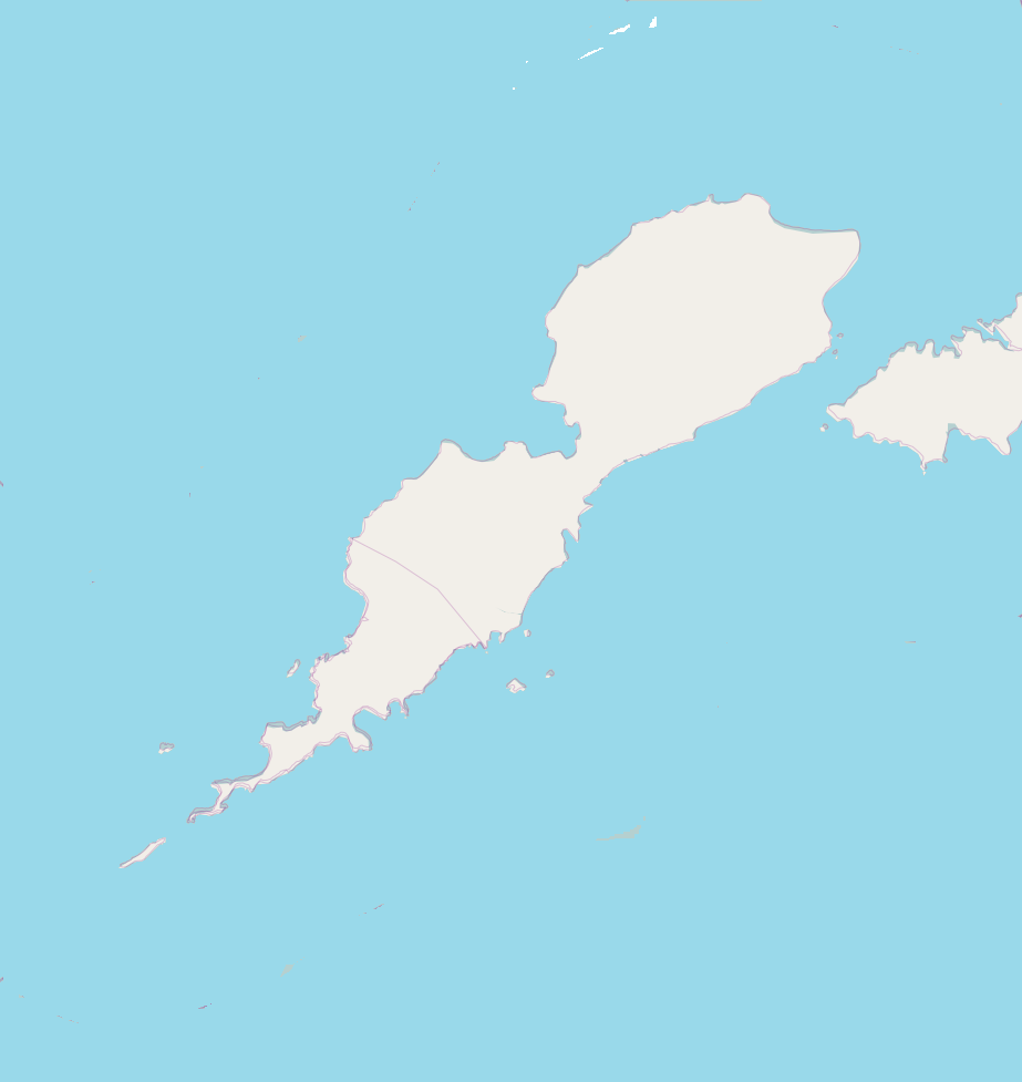
| DescriptionLocation map Umnak Island.png |
English: Map of Unmak Island for pin
Geographic limits of the map:
This file is licensed under the Creative Commons Attribution-Share Alike 2.0 Generic license.
|
| Source | OpenStreetMap |
| Author | Dr. Blofeld |
Captions
Add a one-line explanation of what this file represents
Items portrayed in this file
depicts
some value
File history
Click on a date/time to view the file as it appeared at that time.
| Date/Time | Thumbnail | Dimensions | User | Comment | |
|---|---|---|---|---|---|
| current | 14:21, 5 November 2010 | | 923 × 977 (66 KB) | Blofeld Dr. | {{Information |Description={{en|1=d}} |Source=d |Author=d |Date=d |Permission= |other_versions= }} |
File usage
The following pages on the English Wikipedia use this file (pages on other projects are not listed):
Global file usage
The following other wikis use this file:
- Usage on ar.wikipedia.org
- Usage on ceb.wikipedia.org
- Usage on fa.wikipedia.org
- Usage on fr.wikipedia.org
- Usage on gl.wikipedia.org
- Usage on ja.wikipedia.org
- Usage on kn.wikipedia.org
- Usage on ko.wikipedia.org
- Usage on si.wikipedia.org
- Usage on tr.wikipedia.org
- Usage on uz.wikipedia.org
- Usage on war.wikipedia.org
Retrieved from "https://en.wikipedia.org/wiki/File:Location_map_Umnak_Island.png"