File:Location_map_American_Samoa_(central).png
From Wikipedia, the free encyclopedia
Size of this preview: 572 × 600 pixels. Other resolutions: 229 × 240 pixels | 458 × 480 pixels | 841 × 882 pixels.
Original file (841 × 882 pixels, file size: 179 KB, MIME type: image/png)
| This is a file from the Wikimedia Commons. Information from its description page there is shown below. Commons is a freely licensed media file repository. You can help. |

|
This file was moved to Wikimedia Commons from en.wikipedia using a bot script. All source information is still present. It requires review. Additionally, there may be errors in any or all of the information fields; information on this file should not be considered reliable and the file should not be used until it has been reviewed and any needed corrections have been made. Once the review has been completed, this template should be removed. For details about this file, see below. Check now! |
Summary
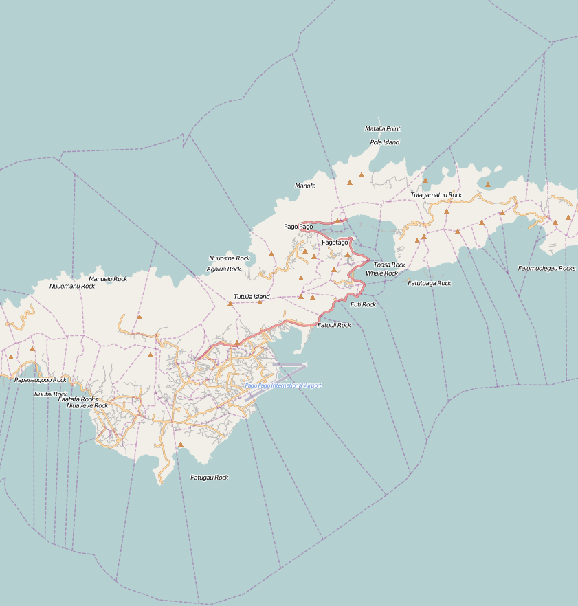
| DescriptionLocation map American Samoa (central).png |
English: Map of central American Samoa
Geographic limits of the map:
|
| Date | 24 November 2010 (original upload date) |
| Source | OpenStreetMap |
| Author | Dr. Blofeld |
Licensing
This file is licensed under the Creative Commons Attribution-Share Alike 2.0 Generic license.
- You are free:
- to share – to copy, distribute and transmit the work
- to remix – to adapt the work
- Under the following conditions:
- attribution – You must give appropriate credit, provide a link to the license, and indicate if changes were made. You may do so in any reasonable manner, but not in any way that suggests the licensor endorses you or your use.
- share alike – If you remix, transform, or build upon the material, you must distribute your contributions under the same or compatible license as the original.
Original upload log
The original description page was here. All following user names refer to en.wikipedia.
| Date/Time | Dimensions | User | Comment |
|---|---|---|---|
| 2010-11-24 12:24 | 841×882× (183717 bytes) | Dr. Blofeld | {{Information |Description={{en|1=Map of central American Samoa Geographic limits of the map: * N: -14.184° * S: -14.4205° * W: -170.8238° * E: -170.591° {{CC-BY-SA 2.0}} }} |Source=OpenStreetMap |Author=[[User:Dr. Blofeld|Dr. Blofeld]] |Date= |P |
Captions
Add a one-line explanation of what this file represents
Items portrayed in this file
depicts
24 November 2010
image/png
File history
Click on a date/time to view the file as it appeared at that time.
| Date/Time | Thumbnail | Dimensions | User | Comment | |
|---|---|---|---|---|---|
| current | 10:54, 22 August 2016 | | 841 × 882 (179 KB) | Zaher.Kadour | Transferred from en.wikipedia |
File usage
The following pages on the English Wikipedia use this file (pages on other projects are not listed):
Global file usage
The following other wikis use this file:
- Usage on ar.wikipedia.org
- Usage on bs.wikipedia.org
- Usage on ceb.wikipedia.org
- Usage on fa.wikipedia.org
- Usage on fr.wikipedia.org
- Usage on id.wikipedia.org
- Usage on kn.wikipedia.org
- Usage on mn.wikipedia.org
- Usage on si.wikipedia.org
- Usage on tg.wikipedia.org
- Usage on tr.wikipedia.org
- Usage on uz.wikipedia.org
- Usage on war.wikipedia.org
- Usage on zh.wikipedia.org
.png)