File:Kohinurakau_viewed_from_Te_Mata_Peak_above_clouds_-_cropped.jpg
From Wikipedia, the free encyclopedia
Size of this preview: 800 × 480 pixels. Other resolutions: 320 × 192 pixels | 1,024 × 614 pixels | 1,280 × 768 pixels | 1,800 × 1,080 pixels.
Original file (1,800 × 1,080 pixels, file size: 285 KB, MIME type: image/jpeg)
| This is a file from the Wikimedia Commons. Information from its description page there is shown below. Commons is a freely licensed media file repository. You can help. |
Summary
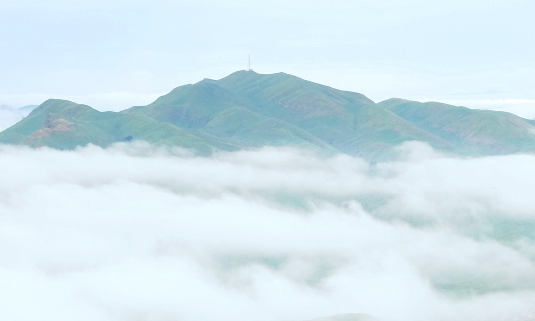
| DescriptionKohinurakau viewed from Te Mata Peak above clouds - cropped.jpg | Kohinurākau viewed from Te Mata Peak above low-lying clouds. Cropped from File:View from Te Mata Peak above clouds towards Kohinurakau.jpg to focus on the pavilion |
| Date | |
| Source | Own work |
| Author | Pseudopanax at English Wikipedia |
| Camera location | 39° 42′ 08.8″ S, 176° 54′ 34.3″ E | View this and other nearby images on: OpenStreetMap |
|---|
Licensing
| Public domainPublic domainfalsefalse |
| I, the copyright holder of this work, release this work into the public domain. This applies worldwide. In some countries this may not be legally possible; if so: I grant anyone the right to use this work for any purpose, without any conditions, unless such conditions are required by law. |
Captions
Add a one-line explanation of what this file represents
Items portrayed in this file
depicts
16 November 2022
39°42'8.798"S, 176°54'34.301"E
0.002 second
5.6
35.8 millimetre
800
image/jpeg
File history
Click on a date/time to view the file as it appeared at that time.
| Date/Time | Thumbnail | Dimensions | User | Comment | |
|---|---|---|---|---|---|
| current | 23:49, 7 August 2023 | | 1,800 × 1,080 (285 KB) | Pseudopanax | == {{int:filedesc}} == {{Information |Description=Kohinurākau viewed from Te Mata Peak above low-lying clouds. Cropped from File:View from Te Mata Peak above clouds towards Kohinurakau.jpg to focus on the pavilion |Source={{Own}} |Date=2022-11-16 |Author={{user at project|Pseudopanax|wikipedia|en}} }} {{location|39|42|8.8|S|176|54|34.3|E}} == {{int:license-header}} == {{PD-self}} Category:Geography of Hawke's Bay Region Category:Views from mountains in New Zealand [[Category:Fo... |
File usage
The following pages on the English Wikipedia use this file (pages on other projects are not listed):
Metadata
This file contains additional information, probably added from the digital camera or scanner used to create or digitize it.
If the file has been modified from its original state, some details may not fully reflect the modified file.
| Image title | View from Te Mata Peak above low-lying clouds towards Kohinurakau |
|---|---|
| Camera manufacturer | FUJIFILM |
| Camera model | X-Pro1 |
| Exposure time | 1/500 sec (0.002) |
| F-number | f/5.6 |
| ISO speed rating | 800 |
| Date and time of data generation | 07:31, 16 November 2022 |
| Lens focal length | 35.8 mm |
| User comments | View from Te Mata Peak above low-lying clouds towards Kohinurakau |
| Latitude | 39° 42′ 8.8″ S |
| Longitude | 176° 54′ 34.3″ E |
| JPEG file comment | View from Te Mata Peak above low-lying clouds towards Kohinurakau - cropped |
| Orientation | Normal |
| Horizontal resolution | 72 dpi |
| Vertical resolution | 72 dpi |
| Software used | GIMP 2.10.30 |
| File change date and time | 11:44, 8 August 2023 |
| Y and C positioning | Co-sited |
| Exposure Program | Aperture priority |
| Exif version | 2.3 |
| Date and time of digitizing | 07:31, 16 November 2022 |
| Meaning of each component |
|
| Image compression mode | 3.2 |
| Shutter speed | 9.06 |
| APEX aperture | 5 |
| APEX brightness | 7.38 |
| Exposure bias | 1 |
| Maximum land aperture | 3 APEX (f/2.83) |
| Metering mode | Pattern |
| Light source | Unknown |
| Flash | Flash did not fire, compulsory flash suppression |
| Supported Flashpix version | 1 |
| Color space | sRGB |
| Focal plane X resolution | 2,092 |
| Focal plane Y resolution | 2,092 |
| Focal plane resolution unit | 3 |
| Sensing method | One-chip color area sensor |
| File source | Digital still camera |
| Scene type | A directly photographed image |
| Custom image processing | Normal process |
| Exposure mode | Auto exposure |
| White balance | Manual white balance |
| Focal length in 35 mm film | 54 mm |
| Scene capture type | Standard |
| Sharpness | Hard |
| Subject distance range | Unknown |
| GPS tag version | 0.0.3.2 |