File:Kien_An_Airport_OSM_map.png
From Wikipedia, the free encyclopedia
Original file (1,024 × 698 pixels, file size: 114 KB, MIME type: image/png)
| This is a file from the Wikimedia Commons. Information from its description page there is shown below. Commons is a freely licensed media file repository. You can help. |
| DescriptionKien An Airport OSM map.png |
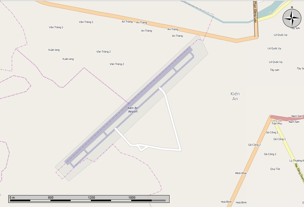
English: Open Street Map of the Kien An Airport. Made in the Marble program, cropped with GIMP. |
|||||
| Date | ||||||
| Source | Open Street Map from the Marble program | |||||
| Author | Own work | |||||
| Permission (Reusing this file) |
Map
|

Captions
Items portrayed in this file
depicts
11 January 2014
File history
Click on a date/time to view the file as it appeared at that time.
| Date/Time | Thumbnail | Dimensions | User | Comment | |
|---|---|---|---|---|---|
| current | 00:16, 12 January 2014 | | 1,024 × 698 (114 KB) | Oaktree b | {{Information |Description ={{en|1=Open Street Map of the Kien An Airport. Made in the Marble program, cropped with GIMP.}} |Source =Open Street Map from the Marble program |Author ={{own}} |Date =2014-01-11 |Permission... |
File usage
Global file usage
The following other wikis use this file:
- Usage on ceb.wikipedia.org
- Usage on nl.wikipedia.org
- Usage on ru.wikipedia.org
- Usage on www.wikidata.org
Metadata
This file contains additional information, probably added from the digital camera or scanner used to create or digitize it.
If the file has been modified from its original state, some details may not fully reflect the modified file.
| PNG file comment |
|
|---|---|
| Horizontal resolution | 28.35 dpc |
| Vertical resolution | 28.35 dpc |
| File change date and time | 00:01, 12 January 2014 |