File:Hong_Kong_districts_map.png
From Wikipedia, the free encyclopedia
Size of this preview: 800 × 591 pixels. Other resolutions: 320 × 236 pixels | 640 × 473 pixels | 1,024 × 756 pixels | 1,280 × 945 pixels | 1,988 × 1,468 pixels.
Original file (1,988 × 1,468 pixels, file size: 794 KB, MIME type: image/png)
| This is a file from the Wikimedia Commons. Information from its description page there is shown below. Commons is a freely licensed media file repository. You can help. |
Summary
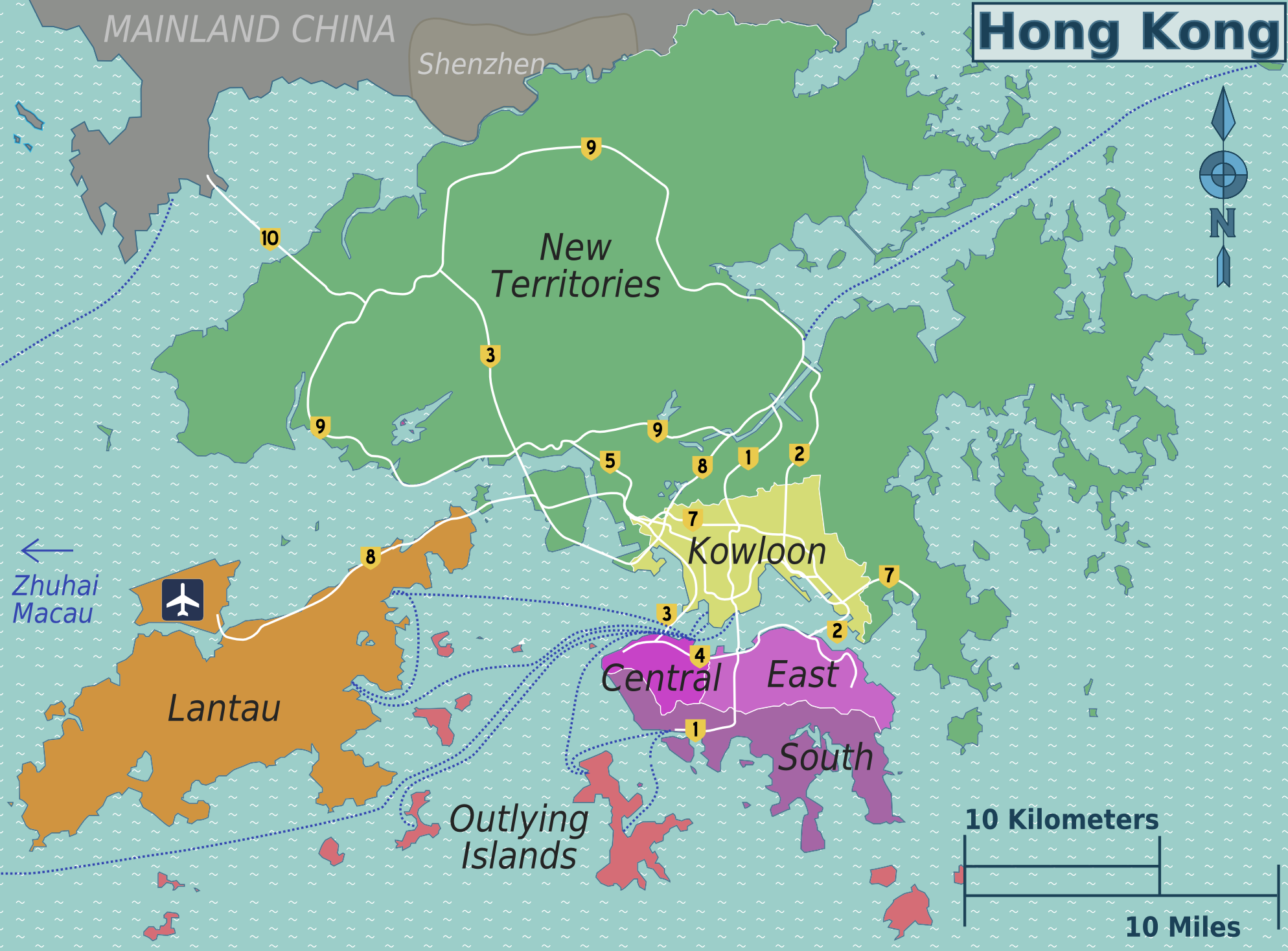
| DescriptionHong Kong districts map.png |
English: Hong Kong districts map for use on Wikivoyage, English version
中文(繁體):適用於維基導遊的香港分區設色地圖(英文)
中文(简体):适用于维基导游的香港分区设色地图(英文) |
| Date | |
| Source | Own work based on the maps of Hong Kong File:Map of Hong Kong-unpathed.svg and File:Hong Kong Strategic Route Map.svg |
| Author | Peter Fitzgerald, amendments by Globe-trotter |
| Other versions |
.png)
.png)
Licensing
This file is licensed under the Creative Commons Attribution 3.0 Unported license.
- You are free:
- to share – to copy, distribute and transmit the work
- to remix – to adapt the work
- Under the following conditions:
- attribution – You must give appropriate credit, provide a link to the license, and indicate if changes were made. You may do so in any reasonable manner, but not in any way that suggests the licensor endorses you or your use.
Original upload log
| This file was imported from Wikivoyage WTS. |
The original description page was here. All following user names refer to wts.wikivoyage-old.
- 2009-11-20 23:28 (WT-shared) Peterfitzgerald archive copy at the Wayback Machine 2000×1477 (705618 bytes) {{Imagecredit|credit=Peter Fitzgerald|captureDate=20 November 2009|location=Hong Kong|source=[[:Image:Hong Kong districts map.png]]|caption= (Import from wikitravel.org/shared)
- 2009-11-23 17:50 (WT-shared) Peterfitzgerald archive copy at the Wayback Machine 2000×1477 (788985 bytes) +ferries, misc. (Import from wikitravel.org/shared)
- 2010-03-21 00:00 (WT-shared) Globe-trotter[dead link] 1988×1468 (813189 bytes) changed districts as per Talk page, also added Macau to ferry destinations (Import from wikitravel.org/shared)
- 2010-03-21 12:12 (WT-shared) Globe-trotter[dead link] 1988×1468 (813107 bytes) slightly changed region colors (Import from wikitravel.org/shared)
Captions
Add a one-line explanation of what this file represents
Items portrayed in this file
depicts
20 November 2009
File history
Click on a date/time to view the file as it appeared at that time.
| Date/Time | Thumbnail | Dimensions | User | Comment | |
|---|---|---|---|---|---|
| current | 21:59, 25 February 2016 | | 1,988 × 1,468 (794 KB) | ויקיג'אנקי | Reverted to version as of 15:41, 24 November 2012 (UTC) |
| 21:59, 25 February 2016 |  | 502 × 403 (104 KB) | WikiJunkie | Cropped 75 % horizontally and 73 % vertically using CropTool with precise mode. | |
| 15:41, 24 November 2012 |  | 1,988 × 1,468 (794 KB) | OgreBot | (BOT): Reverting to most recent version before archival | |
| 15:41, 24 November 2012 |  | 1,988 × 1,468 (794 KB) | OgreBot | (BOT): Reverting to most recent version before archival | |
| 15:41, 24 November 2012 |  | 2,000 × 1,477 (770 KB) | OgreBot | (BOT): Uploading old version of file from wts.wikivoyage-old; originally uploaded on 2009-11-23 17:50:26 by (WT-shared) Peterfitzgerald | |
| 15:41, 24 November 2012 |  | 2,000 × 1,477 (770 KB) | OgreBot | (BOT): Uploading old version of file from wts.wikivoyage-old; originally uploaded on 2009-11-23 17:50:26 by (WT-shared) Peterfitzgerald | |
| 15:41, 24 November 2012 |  | 2,000 × 1,477 (689 KB) | OgreBot | (BOT): Uploading old version of file from wts.wikivoyage-old; originally uploaded on 2009-11-20 23:28:03 by (WT-shared) Peterfitzgerald | |
| 15:41, 24 November 2012 |  | 2,000 × 1,477 (689 KB) | OgreBot | (BOT): Uploading old version of file from wts.wikivoyage-old; originally uploaded on 2009-11-20 23:28:03 by (WT-shared) Peterfitzgerald | |
| 00:05, 18 November 2012 |  | 1,988 × 1,468 (794 KB) | MGA73bot2 | {{BotMoveToCommons|wts.oldwikivoyage|year={{subst:CURRENTYEAR}}|month={{subst:CURRENTMONTHNAME}}|day={{subst:CURRENTDAY}}}} == {{int:filedesc}} == {{Information |description=Hong Kong districts map. English version, Hong Kong * Map of: Hong Kong¤ |dat... |
File usage
The following pages on the English Wikipedia use this file (pages on other projects are not listed):
Global file usage
The following other wikis use this file:
- Usage on cs.wikivoyage.org
- Usage on de.wikivoyage.org
- Usage on en.wikivoyage.org
- Usage on fr.wikipedia.org
- Usage on fr.wikivoyage.org
- Usage on he.wikivoyage.org
- Usage on incubator.wikimedia.org
- Usage on it.wikivoyage.org
- Usage on pt.wikivoyage.org
- Usage on tr.wikivoyage.org
- Usage on uk.wikivoyage.org
- Usage on vi.wikivoyage.org
- Usage on zh.wikipedia.org
- Usage on zh.wikivoyage.org
Metadata
This file contains additional information, probably added from the digital camera or scanner used to create or digitize it.
If the file has been modified from its original state, some details may not fully reflect the modified file.
| Horizontal resolution | 50.39 dpc |
|---|---|
| Vertical resolution | 50.39 dpc |
| Software used |
Retrieved from "https://en.wikipedia.org/wiki/File:Hong_Kong_districts_map.png"