File:HRE_and_Byzantine_Empire.png
From Wikipedia, the free encyclopedia
Size of this preview: 800 × 584 pixels. Other resolutions: 320 × 234 pixels | 640 × 468 pixels | 1,024 × 748 pixels | 1,280 × 935 pixels | 2,560 × 1,870 pixels | 3,745 × 2,736 pixels.
Original file (3,745 × 2,736 pixels, file size: 708 KB, MIME type: image/png)
| This is a file from the Wikimedia Commons. Information from its description page there is shown below. Commons is a freely licensed media file repository. You can help. |
Summary
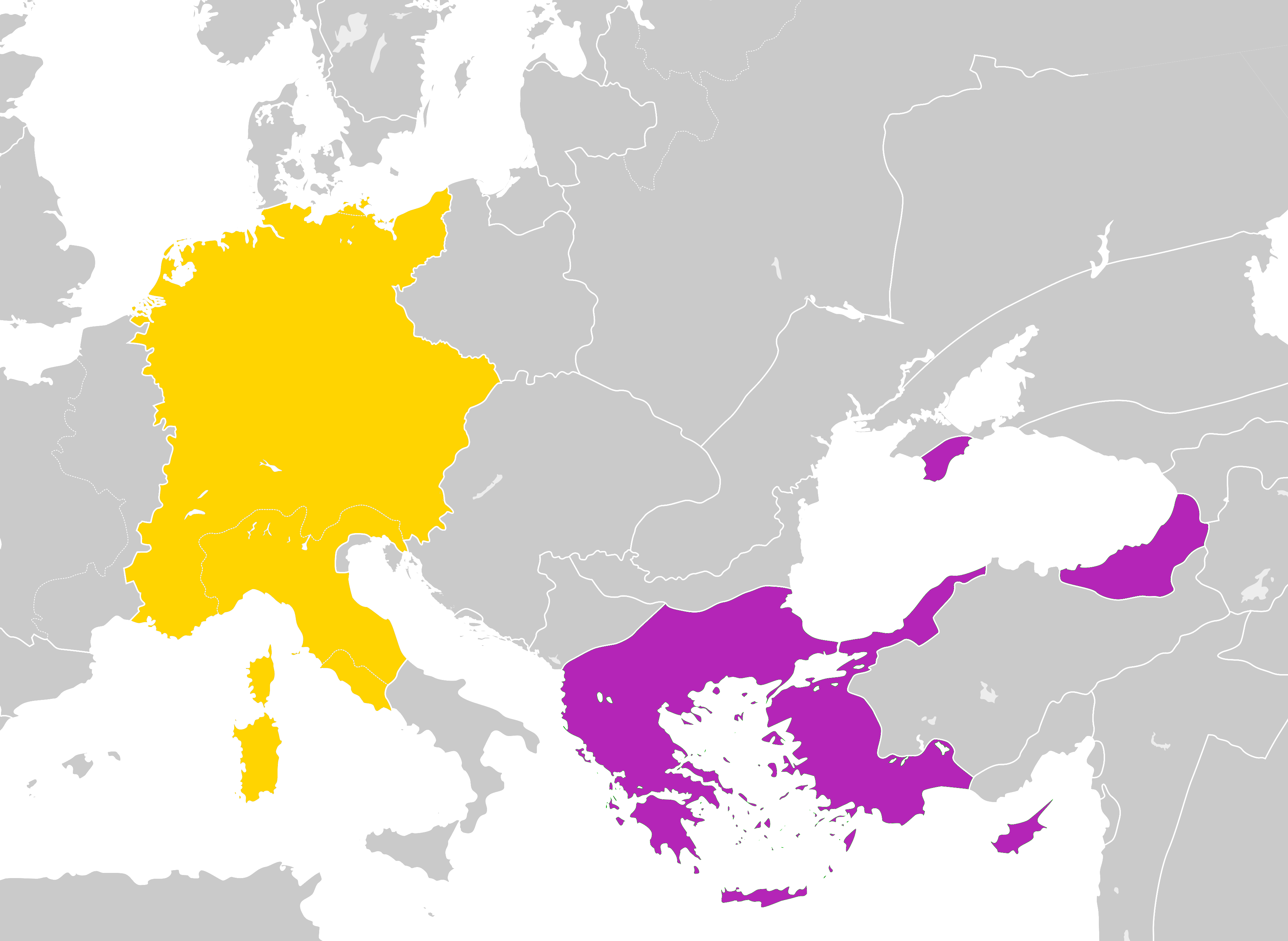
| DescriptionHRE and Byzantine Empire.png |
English: Map of the Byzantine Empire and the Holy Roman Empire in 1190 AD. |
| Date | |
| Source | Byzantine Empire 1190.svg |
| Author |
User:Alphathon User:Ichthyovenator (derivative work) |
Licensing
This file is licensed under the Creative Commons Attribution-Share Alike 4.0 International license.
- You are free:
- to share – to copy, distribute and transmit the work
- to remix – to adapt the work
- Under the following conditions:
- attribution – You must give appropriate credit, provide a link to the license, and indicate if changes were made. You may do so in any reasonable manner, but not in any way that suggests the licensor endorses you or your use.
- share alike – If you remix, transform, or build upon the material, you must distribute your contributions under the same or compatible license as the original.
Captions
Map of the Byzantine Empire and the Holy Roman Empire in 1190 AD.
Items portrayed in this file
depicts
30 December 2019
image/png
File history
Click on a date/time to view the file as it appeared at that time.
| Date/Time | Thumbnail | Dimensions | User | Comment | |
|---|---|---|---|---|---|
| current | 04:36, 27 September 2021 | | 3,745 × 2,736 (708 KB) | GPinkerton | Reverted to version as of 12:22, 30 December 2019 (UTC) COM:CROP |
| 15:25, 18 June 2020 |  | 3,745 × 2,736 (584 KB) | Claude Zygiel | Church states were autonomous; removed modern dam reservoirs and the horizontal line through the Cuman Khanate; Second Bulgarian Empire included the vlach territories on the northern bank of the lower Danube; Scythia minor on the southern bank of the lower Danube were byzantine (Paristrion). Following Hans-Erich Stier (dir.), ''Grosser Atlas zur Weltgeschichte'', Westermann, Braunschweig 1985, (ISBN 3-14-100919-8). | |
| 12:22, 30 December 2019 |  | 3,745 × 2,736 (708 KB) | Ichthyovenator | User created page with UploadWizard |
File usage
The following pages on the English Wikipedia use this file (pages on other projects are not listed):
Global file usage
The following other wikis use this file:
- Usage on en.wiktionary.org
- Usage on it.wikipedia.org
- Usage on ko.wikipedia.org
- Usage on pl.wikipedia.org
- Usage on th.wikipedia.org
- Usage on zh.wikipedia.org
Retrieved from "https://en.wikipedia.org/wiki/File:HRE_and_Byzantine_Empire.png"