File:Gustav_Meyer_landscaper.jpg
From Wikipedia, the free encyclopedia
Size of this preview: 667 × 599 pixels. Other resolutions: 267 × 240 pixels | 534 × 480 pixels | 855 × 768 pixels | 1,140 × 1,024 pixels | 2,279 × 2,048 pixels | 3,145 × 2,826 pixels.
Original file (3,145 × 2,826 pixels, file size: 2.94 MB, MIME type: image/jpeg)
| This is a file from the Wikimedia Commons. Information from its description page there is shown below. Commons is a freely licensed media file repository. You can help. |
Summary
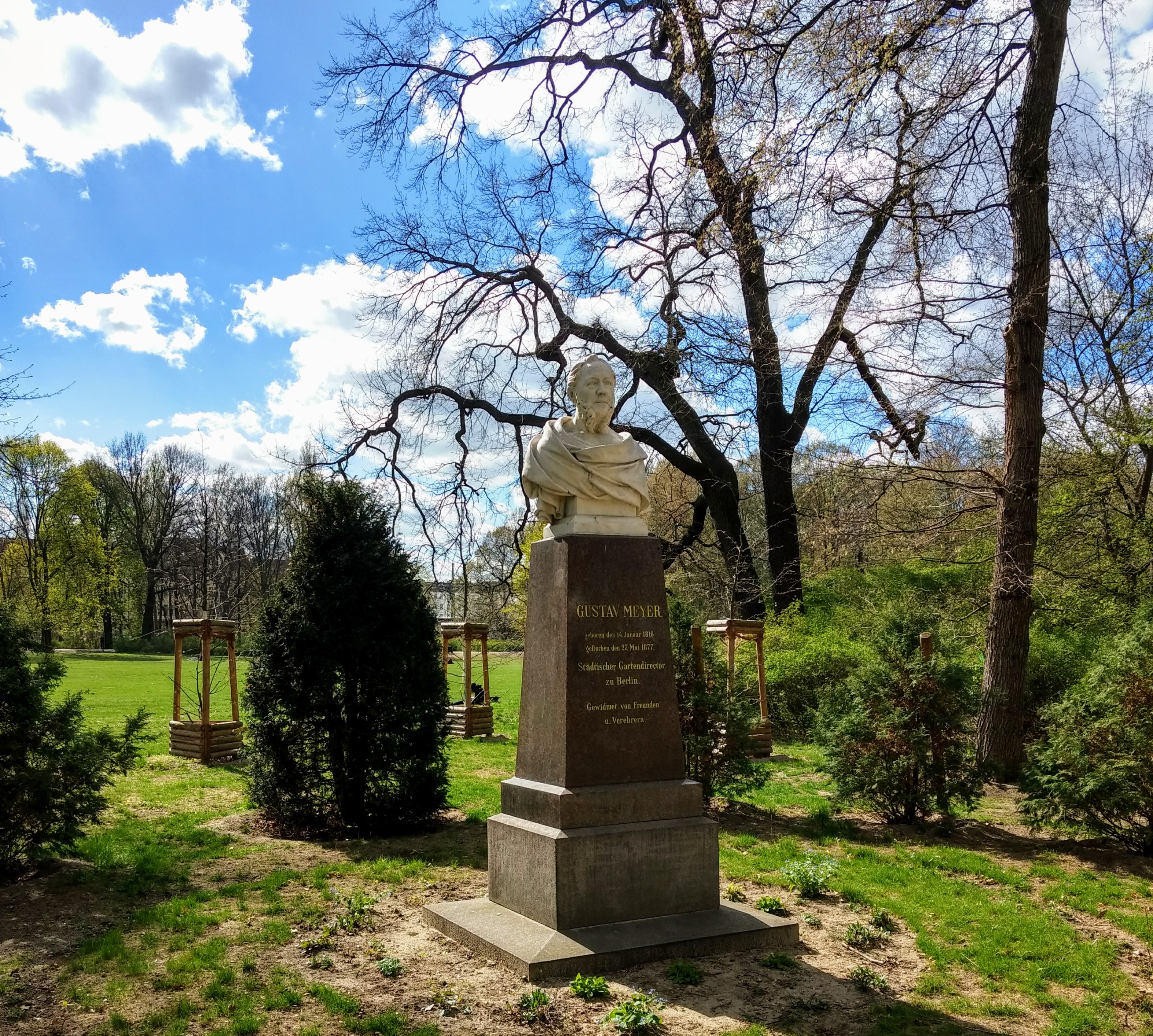
| DescriptionGustav Meyer landscaper.jpg | Gustav Meyer 1816-1877 |
| Date | Taken on 6 April 2017 (according to Exif data) |
| Source | Own work |
| Author | Shyamal |
| Camera location | 52° 29′ 26.53″ N, 13° 27′ 48.99″ E | View this and other nearby images on: OpenStreetMap |
|---|
Licensing
I, the copyright holder of this work, hereby publish it under the following license:
This file is licensed under the Creative Commons Attribution-Share Alike 3.0 Unported license.
- You are free:
- to share – to copy, distribute and transmit the work
- to remix – to adapt the work
- Under the following conditions:
- attribution – You must give appropriate credit, provide a link to the license, and indicate if changes were made. You may do so in any reasonable manner, but not in any way that suggests the licensor endorses you or your use.
- share alike – If you remix, transform, or build upon the material, you must distribute your contributions under the same or compatible license as the original.
| This file was uploaded via Mobile Android App (Commons mobile app) 2.1. |
Captions
Add a one-line explanation of what this file represents
Элементы, изображённые на этом файле
depicts
У этого свойства есть некоторое значение без элемента в
52°29'26.52540"N, 13°27'48.99280"E
6 April 2017
File history
Click on a date/time to view the file as it appeared at that time.
| Date/Time | Thumbnail | Dimensions | User | Comment | |
|---|---|---|---|---|---|
| current | 12:06, 8 April 2017 | | 3,145 × 2,826 (2.94 MB) | Shyamal | Uploaded using Android Commons app |
File usage
The following pages on the English Wikipedia use this file (pages on other projects are not listed):
Global file usage
The following other wikis use this file:
- Usage on ar.wikipedia.org
- Usage on arz.wikipedia.org
- Usage on ru.wikipedia.org
- Usage on www.wikidata.org
Metadata
This file contains additional information, probably added from the digital camera or scanner used to create or digitize it.
If the file has been modified from its original state, some details may not fully reflect the modified file.
| Camera model | Moto G (4) |
|---|---|
| Camera manufacturer | Motorola |
| F-number | f/2 |
| Lens focal length | 4.68 mm |
| Date and time of data generation | 14:56, 6 April 2017 |
| ISO speed rating | 64 |
| Exposure time | 1/1,196 sec (0.00083612040133779) |
| Longitude | 13° 27′ 48.99″ E |
| Altitude | 116 meters above sea level |
| Latitude | 52° 29′ 26.53″ N |
| File change date and time | 17:32, 8 April 2017 |
| Width | 3,145 px |
| Y and C positioning | Centered |
| Height | 2,826 px |
| Vertical resolution | 72 dpi |
| Software used | |
| Horizontal resolution | 72 dpi |
| Color space | sRGB |
| Date and time of digitizing | 14:56, 6 April 2017 |
| APEX aperture | 2 |
| Exposure mode | Auto bracket |
| DateTimeDigitized subseconds | 928483 |
| Custom image processing | Custom process |
| Maximum land aperture | 2 APEX (f/2) |
| Scene capture type | Standard |
| Scene type | A directly photographed image |
| DateTimeOriginal subseconds | 928483 |
| Digital zoom ratio | 1 |
| Saturation | Normal |
| Exposure Program | Manual |
| Sharpness | Soft |
| White balance | Auto white balance |
| DateTime subseconds | 928483 |
| Shutter speed | 10.22 |
| Metering mode | Average |
| Meaning of each component |
|
| Exif version | 2.2 |
| Flash | Flash did not fire, compulsory flash suppression |
| Contrast | Normal |
| Exposure bias | 0 |
| APEX brightness | −1 |
| Supported Flashpix version | 1 |
| GPS date | 6 April 2017 |
| GPS time (atomic clock) | 12:56 |
| Geodetic survey data used | WGS-84 |
| GPS tag version | 2.2.0.0 |
Retrieved from "https://en.wikipedia.org/wiki/File:Gustav_Meyer_landscaper.jpg"