File:Digne_les_bains_-_vue_est.jpg
From Wikipedia, the free encyclopedia
Size of this preview: 800 × 533 pixels. Other resolutions: 320 × 213 pixels | 640 × 427 pixels | 1,024 × 683 pixels | 1,280 × 853 pixels | 2,560 × 1,707 pixels | 6,000 × 4,000 pixels.
Original file (6,000 × 4,000 pixels, file size: 7.38 MB, MIME type: image/jpeg)
| This is a file from the Wikimedia Commons. Information from its description page there is shown below. Commons is a freely licensed media file repository. You can help. |
Summary
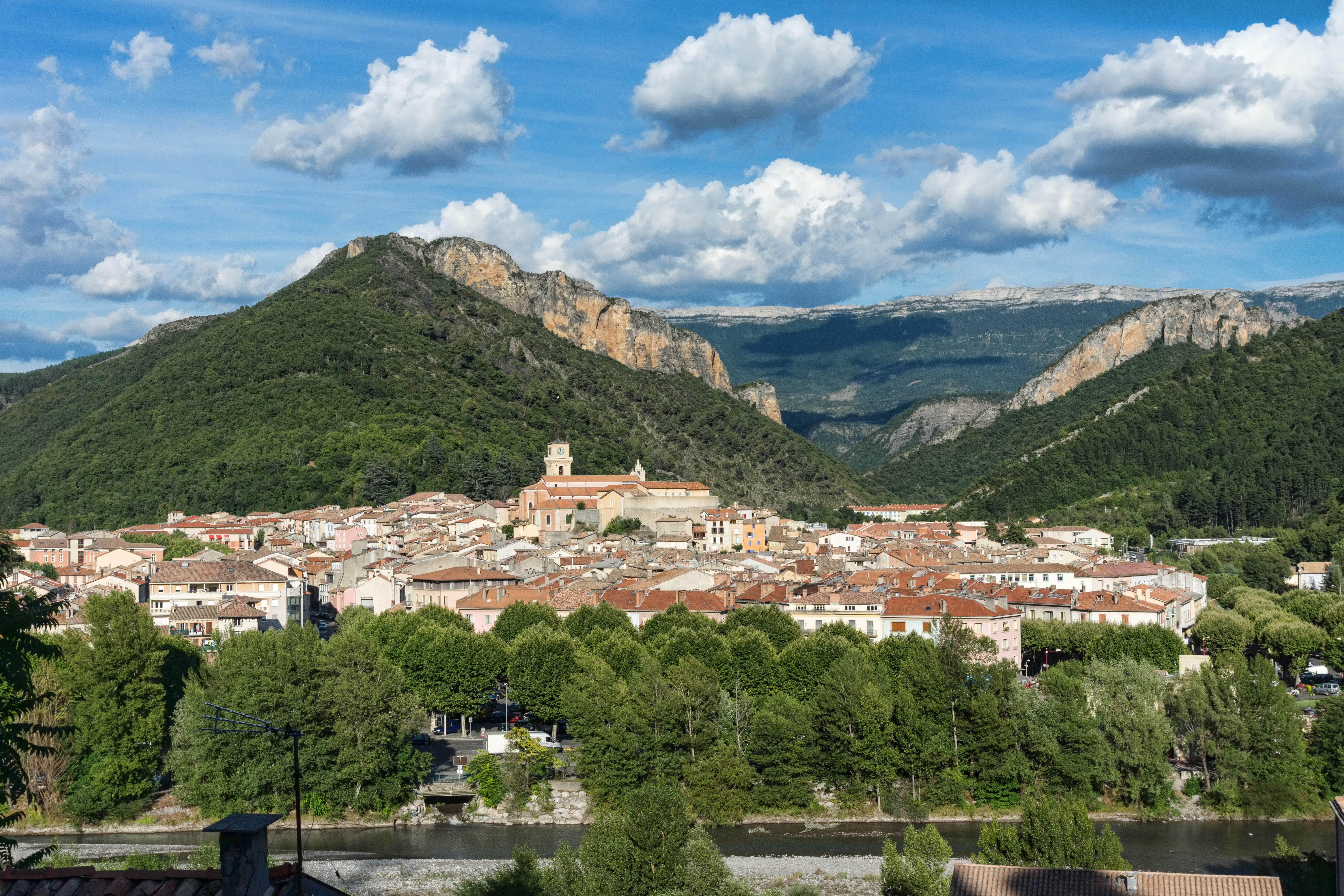
| DescriptionDigne les bains - vue est.jpg |
Français : Digne les bains, vue vers l'est |
|||
| Date | ||||
| Source | Own work | |||
| Author | Jean-Christophe BENOIST | |||
| Other versions |
|
| Camera location | 44° 05′ 29.53″ N, 6° 13′ 40.99″ E | View this and other nearby images on: OpenStreetMap |
|---|
Licensing
I, the copyright holder of this work, hereby publish it under the following license:
This file is licensed under the Creative Commons Attribution 3.0 Unported license.
- You are free:
- to share – to copy, distribute and transmit the work
- to remix – to adapt the work
- Under the following conditions:
- attribution – You must give appropriate credit, provide a link to the license, and indicate if changes were made. You may do so in any reasonable manner, but not in any way that suggests the licensor endorses you or your use.
Captions
Add a one-line explanation of what this file represents
Items portrayed in this file
depicts
some value
7 August 2014
44°5'29.52600"N, 6°13'40.99199"E
File history
Click on a date/time to view the file as it appeared at that time.
| Date/Time | Thumbnail | Dimensions | User | Comment | |
|---|---|---|---|---|---|
| current | 22:33, 9 August 2014 | | 6,000 × 4,000 (7.38 MB) | Jean-Christophe BENOIST | User created page with UploadWizard |
File usage
The following pages on the English Wikipedia use this file (pages on other projects are not listed):
Global file usage
The following other wikis use this file:
- Usage on an.wikipedia.org
- Usage on ar.wikipedia.org
- Usage on arz.wikipedia.org
- Usage on az.wikipedia.org
- Usage on bg.wikipedia.org
- Usage on ca.wikipedia.org
- Usage on ceb.wikipedia.org
- Usage on ce.wikipedia.org
- Usage on cy.wikipedia.org
- Usage on de.wikipedia.org
- Usage on de.wikivoyage.org
- Usage on el.wikipedia.org
- Usage on en.wikivoyage.org
- Usage on eo.wikipedia.org
- Usage on es.wikipedia.org
- Usage on et.wikipedia.org
- Usage on eu.wikipedia.org
- Usage on fa.wikipedia.org
- Usage on fi.wikipedia.org
- Usage on fr.wikipedia.org
- Usage on fr.wikinews.org
- Usage on fr.wikivoyage.org
- Usage on gd.wikipedia.org
- Usage on hu.wikipedia.org
- Usage on it.wikivoyage.org
- Usage on ja.wikipedia.org
- Usage on ja.wikivoyage.org
- Usage on ko.wikipedia.org
- Usage on ku.wikipedia.org
- Usage on lld.wikipedia.org
- Usage on lmo.wikipedia.org
- Usage on nl.wikipedia.org
- Usage on os.wikipedia.org
- Usage on pl.wikipedia.org
- Usage on pl.wikivoyage.org
- Usage on ro.wikipedia.org
- Usage on ru.wikipedia.org
- Usage on simple.wikipedia.org
- Usage on sl.wikipedia.org
- Usage on sr.wikipedia.org
- Usage on tr.wikipedia.org
View more global usage of this file.
Metadata
This file contains additional information, probably added from the digital camera or scanner used to create or digitize it.
If the file has been modified from its original state, some details may not fully reflect the modified file.
| Camera manufacturer | SONY |
|---|---|
| Camera model | SLT-A77V |
| Exposure time | 1/500 sec (0.002) |
| F-number | f/8 |
| ISO speed rating | 100 |
| Date and time of data generation | 18:47, 7 August 2014 |
| Lens focal length | 30 mm |
| Latitude | 44° 5′ 29.53″ N |
| Longitude | 6° 13′ 40.99″ E |
| Altitude | 629.54 meters above sea level |
| Orientation | Normal |
| Horizontal resolution | 300 dpi |
| Vertical resolution | 300 dpi |
| Software used | Adobe Photoshop CS6 (Windows) |
| File change date and time | 00:26, 10 August 2014 |
| Exposure Program | Normal program |
| Exif version | 2.3 |
| Date and time of digitizing | 18:47, 7 August 2014 |
| Shutter speed | 8.965784 |
| APEX aperture | 6 |
| APEX brightness | 10.02109375 |
| Exposure bias | 0 |
| Maximum land aperture | 4 APEX (f/4) |
| Metering mode | Pattern |
| Light source | Unknown |
| Flash | Flash did not fire, compulsory flash suppression |
| Color space | sRGB |
| Focal plane X resolution | 2,553.1914978027 |
| Focal plane Y resolution | 2,553.1914978027 |
| Focal plane resolution unit | 3 |
| File source | Digital still camera |
| Scene type | A directly photographed image |
| Custom image processing | Normal process |
| Exposure mode | Auto exposure |
| White balance | Auto white balance |
| Focal length in 35 mm film | 45 mm |
| Scene capture type | Standard |
| Contrast | Normal |
| Saturation | High saturation |
| Sharpness | Hard |
| GPS time (atomic clock) | 16:46 |
| Receiver status | Measurement in progress |
| Measurement mode | 3-dimensional measurement |
| Measurement precision | Poor (3.7432) |
| Speed unit | Kilometers per hour |
| Speed of GPS receiver | 4.475 |
| Reference for direction of movement | True direction |
| Direction of movement | 103.48 |
| Geodetic survey data used | WGS-84 |
| GPS date | 7 August 2014 |
| GPS differential correction | 0 |
| GPS tag version | 0.0.3.2 |
| Lens used | DT 16-80mm F3.5-4.5 ZA |
| Date metadata was last modified | 02:26, 10 August 2014 |
| Rating (out of 5) | 0 |
| Unique ID of original document | BB3D59DE6C849839C2BDBAE486372F78 |
| IIM version | 255 |
Retrieved from "https://en.wikipedia.org/wiki/File:Digne_les_bains_-_vue_est.jpg"