File:Cleveland_Ohio_aerial_view.jpg
From Wikipedia, the free encyclopedia
Size of this preview: 800 × 534 pixels. Other resolutions: 320 × 214 pixels | 640 × 427 pixels | 1,024 × 683 pixels | 1,500 × 1,001 pixels.
Original file (1,500 × 1,001 pixels, file size: 680 KB, MIME type: image/jpeg)
| This is a file from the Wikimedia Commons. Information from its description page there is shown below. Commons is a freely licensed media file repository. You can help. |
Summary
| DescriptionCleveland Ohio aerial view.jpg |
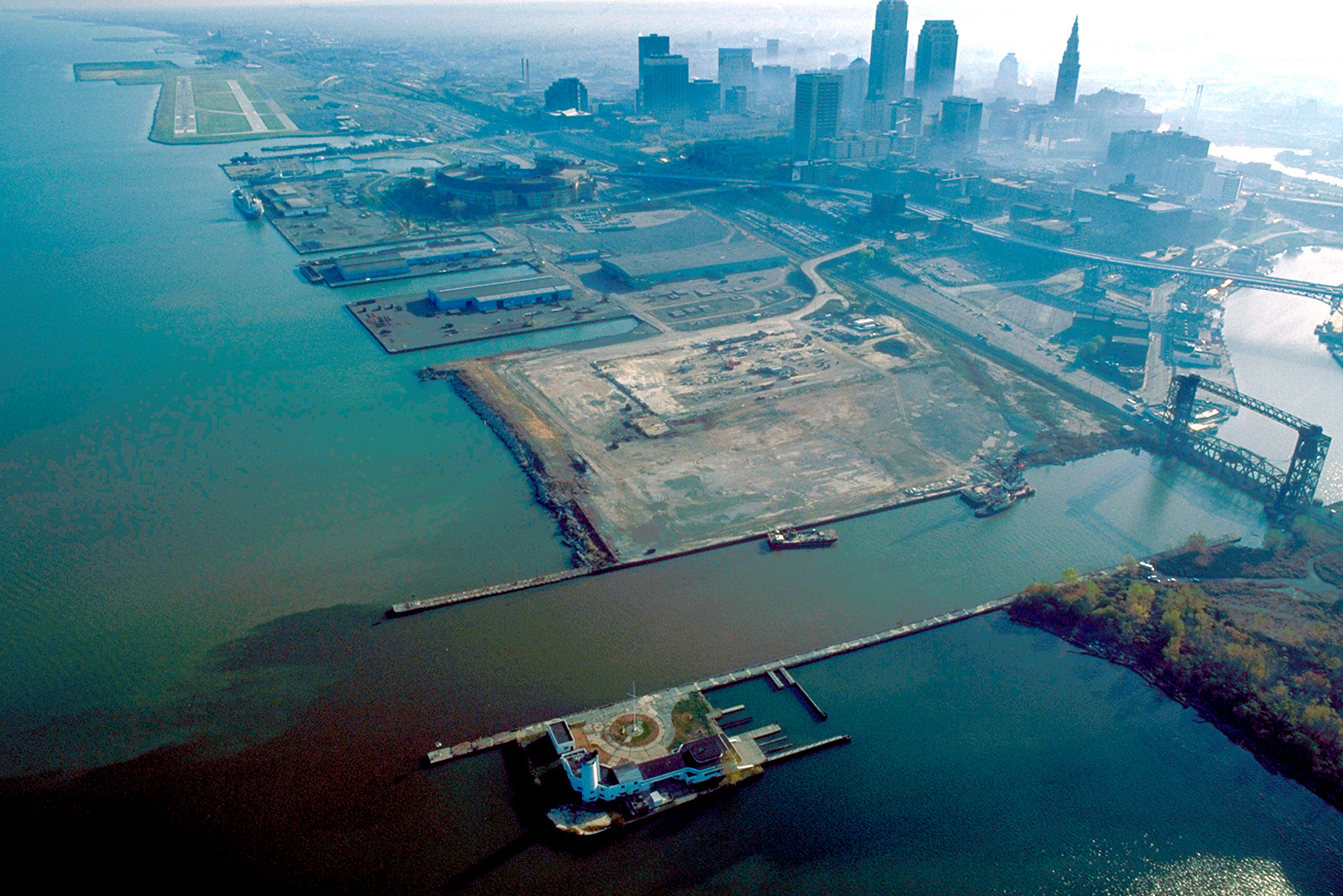
English: Aerial view of Cleveland, Ohio, USA, on the shores of Lake Erie. The mouth of the Cuyahoga River is visible in the foreground and Cleveland's Burke-Lakefront Airport is visible in the top left of the picture. View is to the northeast |
| Date | |
| Source |
U.S. Army Corps of Engineers Digital Visual Library Image page Image description page Digital Visual Library home page |
| Author | Ken Winters, U.S. Army Corps of Engineers |
| Location InfoField | Cleveland, Ohio, USA |
| Camera location | 41° 30′ 11.07″ N, 81° 42′ 40.75″ W | View this and other nearby images on: OpenStreetMap |
|---|
Summary
| Public domainPublic domainfalsefalse |
This image or file is a work of a U.S. Army Corps of Engineers soldier or employee, taken or made as part of that person's official duties. As a work of the U.S. federal government, the image is in the public domain.
English | italiano | Nederlands | پښتو | русский | sicilianu | slovenščina | Türkçe | українська | +/− |
Captions
Add a one-line explanation of what this file represents
Items portrayed in this file
depicts
1 October 1992
41°30'11.070"N, 81°42'40.748"W
image/jpeg
e306ef9fca21595562e419bbb7b32b588a6bd261
696,147 byte
1,001 pixel
1,500 pixel
File history
Click on a date/time to view the file as it appeared at that time.
| Date/Time | Thumbnail | Dimensions | User | Comment | |
|---|---|---|---|---|---|
| current | 01:58, 25 March 2007 | | 1,500 × 1,001 (680 KB) | DanMS | {{Information | Description = {{en|Aerial view of Cleveland, Ohio, USA, on the shores of Lake Erie. The mouth of the Cuyahoga River is visible in the foreground and Cleveland Airport is visible in the top left of the picture. View is to the northeast}} |
File usage
The following pages on the English Wikipedia use this file (pages on other projects are not listed):
Global file usage
The following other wikis use this file:
- Usage on de.wikivoyage.org
- Usage on eu.wikipedia.org
- Usage on fr.wikipedia.org
- Usage on it.wikipedia.org
- Usage on ja.wikipedia.org
Metadata
This file contains additional information, probably added from the digital camera or scanner used to create or digitize it.
If the file has been modified from its original state, some details may not fully reflect the modified file.
| JPEG file comment | File written by Adobe Photoshop¨ 5.0 |
|---|
Retrieved from "https://en.wikipedia.org/wiki/File:Cleveland_Ohio_aerial_view.jpg"