File:Churchdown_Hill_Trig_Point_(155m)_-_geograph.org.uk_-_1946325.jpg
From Wikipedia, the free encyclopedia
Size of this preview: 800 × 534 pixels. Other resolutions: 320 × 213 pixels | 640 × 427 pixels | 1,024 × 683 pixels.
Original file (1,024 × 683 pixels, file size: 510 KB, MIME type: image/jpeg)
| This is a file from the Wikimedia Commons. Information from its description page there is shown below. Commons is a freely licensed media file repository. You can help. |
Summary
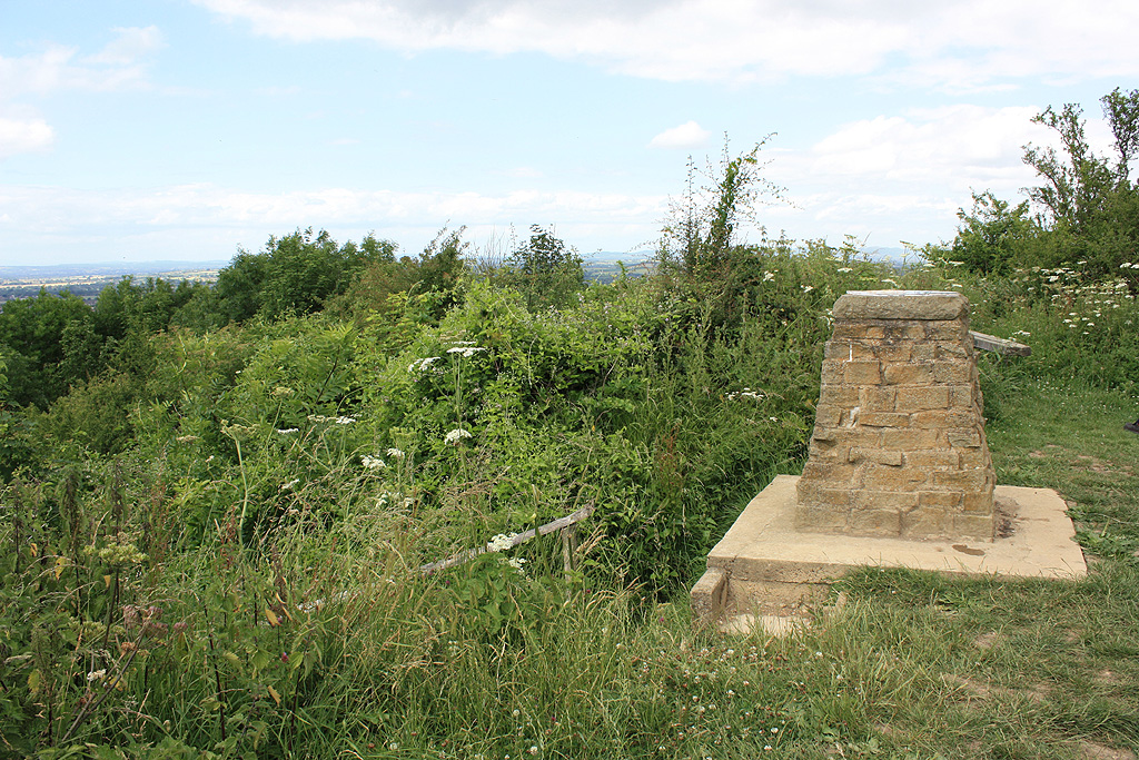
| DescriptionChurchdown Hill Trig Point (155m) - geograph.org.uk - 1946325.jpg |
English: Churchdown Hill Trig Point (155m) |
| Depicts InfoField | triangulation station, Hucclecote |
| Date |
|
| Source |
Geograph Britain and Ireland |
| Author |
Pauline E |
| Place of creation InfoField | Churchdown |
| Camera location | 51° 52′ 06.8″ N, 2° 10′ 35.8″ W | View this and other nearby images on: OpenStreetMap |
|---|
| Object location | 51° 52′ 07″ N, 2° 10′ 36″ W | View this and other nearby images on: OpenStreetMap |
|---|
Licensing

|
This image was taken from the Geograph project collection. See this photograph's page on the Geograph website for the photographer's contact details. The copyright on this image is owned by Pauline E
|
This file is licensed under the Creative Commons Attribution-Share Alike 2.0 Generic license.
Attribution: Churchdown Hill Trig Point (155m) by Pauline E
- You are free:
- to share – to copy, distribute and transmit the work
- to remix – to adapt the work
- Under the following conditions:
- attribution – You must give appropriate credit, provide a link to the license, and indicate if changes were made. You may do so in any reasonable manner, but not in any way that suggests the licensor endorses you or your use.
- share alike – If you remix, transform, or build upon the material, you must distribute your contributions under the same or compatible license as the original.
Captions
Churchdown Hill Trig Point (155m)
Items portrayed in this file
depicts
some value
3 July 2010
51°52'6.74"N, 2°10'35.83"W
51°52'7.03"N, 2°10'35.98"W
image/jpeg
547bef36170cdd27ef81bd0fb9c2ffb5290c4536
522,134 byte
683 pixel
1,024 pixel
File history
Click on a date/time to view the file as it appeared at that time.
| Date/Time | Thumbnail | Dimensions | User | Comment | |
|---|---|---|---|---|---|
| current | 00:46, 1 May 2021 | | 1,024 × 683 (510 KB) | GeographBot | Uploading geograph.org.uk image from https://www.geograph.org.uk/photo/1946325 |
File usage
The following pages on the English Wikipedia use this file (pages on other projects are not listed):
Metadata
This file contains additional information, probably added from the digital camera or scanner used to create or digitize it.
If the file has been modified from its original state, some details may not fully reflect the modified file.
| JPEG file comment | File written by Adobe Photoshop¨ 4.0 |
|---|
_-_geograph.org.uk_-_1946325.jpg)