File:Charlton_House_(geograph_5631996).jpg
From Wikipedia, the free encyclopedia
Size of this preview: 790 × 599 pixels. Other resolutions: 316 × 240 pixels | 633 × 480 pixels | 1,012 × 768 pixels | 1,024 × 777 pixels.
Original file (1,024 × 777 pixels, file size: 171 KB, MIME type: image/jpeg)
| This is a file from the Wikimedia Commons. Information from its description page there is shown below. Commons is a freely licensed media file repository. You can help. |
Summary
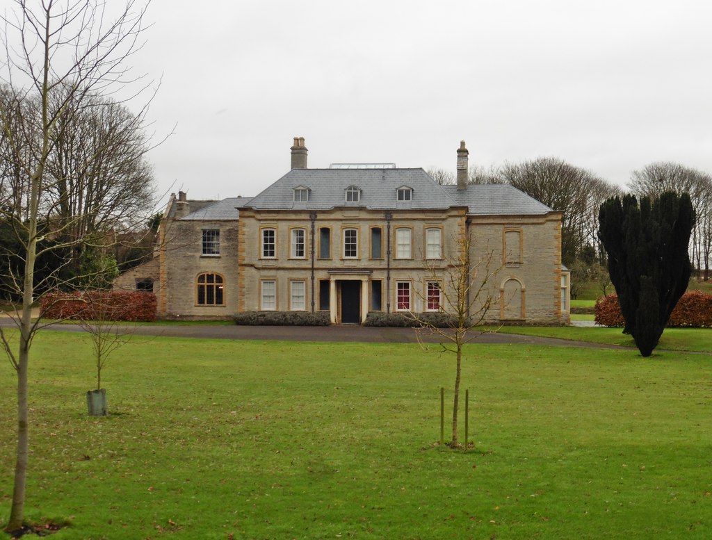
| DescriptionCharlton House (geograph 5631996).jpg |
English: Charlton House |
| Date | |
| Source | From geograph.org.uk |
| Author | Roger Cornfoot |
| Permission (Reusing this file) |
Creative Commons Attribution Share-alike license 2.0 |
| Attribution (required by the license) InfoField | Roger Cornfoot / Charlton House / |
InfoField | Roger Cornfoot / Charlton House |
| Camera location | 51° 03′ 31.2″ N, 2° 40′ 25″ W | View this and other nearby images on: OpenStreetMap |
|---|
| Object location | 51° 03′ 32.2″ N, 2° 40′ 22″ W | View this and other nearby images on: OpenStreetMap |
|---|
Licensing

|
This image was taken from the Geograph project collection. See this photograph's page on the Geograph website for the photographer's contact details. The copyright on this image is owned by Roger Cornfoot and is licensed for reuse under the Creative Commons Attribution-ShareAlike 2.0 license.
|
This file is licensed under the Creative Commons Attribution-Share Alike 2.0 Generic license.
Attribution: Roger Cornfoot
- You are free:
- to share – to copy, distribute and transmit the work
- to remix – to adapt the work
- Under the following conditions:
- attribution – You must give appropriate credit, provide a link to the license, and indicate if changes were made. You may do so in any reasonable manner, but not in any way that suggests the licensor endorses you or your use.
- share alike – If you remix, transform, or build upon the material, you must distribute your contributions under the same or compatible license as the original.
Captions
Add a one-line explanation of what this file represents
Items portrayed in this file
depicts
some value
20 December 2017
51°3'31.198"N, 2°40'24.892"W
51°3'32.18"N, 2°40'22.33"W
image/jpeg
4d92dc42bf4978c23da644147b7fa0750d1f88c7
174,787 byte
777 pixel
1,024 pixel
File history
Click on a date/time to view the file as it appeared at that time.
| Date/Time | Thumbnail | Dimensions | User | Comment | |
|---|---|---|---|---|---|
| current | 14:58, 1 January 2018 | | 1,024 × 777 (171 KB) | Rodw | Transferred from geograph.co.uk using [https://tools.wmflabs.org/geograph2commons/ geograph2commons] |
File usage
The following pages on the English Wikipedia use this file (pages on other projects are not listed):
Global file usage
The following other wikis use this file:
- Usage on www.wikidata.org
.jpg)