File:Canada_Southern_Ontario_location_map.png
From Wikipedia, the free encyclopedia
Size of this preview: 800 × 577 pixels. Other resolutions: 320 × 231 pixels | 640 × 462 pixels | 994 × 717 pixels.
Original file (994 × 717 pixels, file size: 245 KB, MIME type: image/png)
| This is a file from the Wikimedia Commons. Information from its description page there is shown below. Commons is a freely licensed media file repository. You can help. |
Summary
| DescriptionCanada Southern Ontario location map.png |
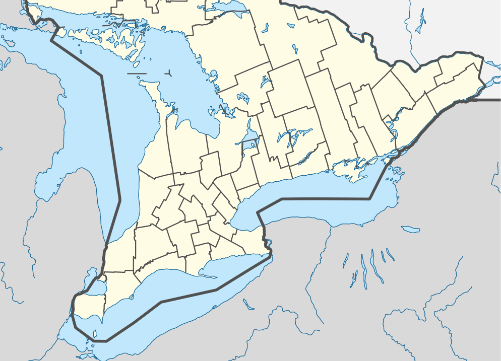
English: Location map of Southern Ontario, Canada.
Equirectangular projection, N/S stretching 155%. Geographic limits of the map:
Русский: Южная Онтарио
Українська: Південне Онтаріо |
| Date | |
| Source | File:Canada Ontario location map.svg |
| Author | User:NordNordWest |
| Other versions |
Derivative works of this file: |


Licensing
I, the copyright holder of this work, hereby publish it under the following license:
This file is licensed under the Creative Commons Attribution-Share Alike 3.0 Unported license.
- You are free:
- to share – to copy, distribute and transmit the work
- to remix – to adapt the work
- Under the following conditions:
- attribution – You must give appropriate credit, provide a link to the license, and indicate if changes were made. You may do so in any reasonable manner, but not in any way that suggests the licensor endorses you or your use.
- share alike – If you remix, transform, or build upon the material, you must distribute your contributions under the same or compatible license as the original.
Captions
Add a one-line explanation of what this file represents
Items portrayed in this file
depicts
26 August 2009
image/png
a0c19fc12f52f52227ad64718464364094c03a0f
251,389 byte
717 pixel
994 pixel
File history
Click on a date/time to view the file as it appeared at that time.
| Date/Time | Thumbnail | Dimensions | User | Comment | |
|---|---|---|---|---|---|
| current | 22:37, 14 July 2012 | | 994 × 717 (245 KB) | 117Avenue | {{Information |Description ={{en|1=Location map of Southern Ontario, Canada}} Equirectangular projection, N/S stretching 155 %. Geographic limits of the map: * N: 46.4° N * S: 41.4° N * W: 84.7° W... |
File usage
The following pages on the English Wikipedia use this file (pages on other projects are not listed):
Global file usage
The following other wikis use this file:
- Usage on bn.wikipedia.org
- Usage on bs.wikipedia.org
- Usage on ckb.wikipedia.org
- Usage on de.wikipedia.org
- Usage on ja.wikipedia.org
- Usage on simple.wikipedia.org
- Usage on si.wikipedia.org
- Usage on tr.wikipedia.org
- Usage on uz.wikipedia.org
Metadata
This file contains additional information, probably added from the digital camera or scanner used to create or digitize it.
If the file has been modified from its original state, some details may not fully reflect the modified file.
| Horizontal resolution | 28.35 dpc |
|---|---|
| Vertical resolution | 28.35 dpc |