File:Bridge_River_Valley_of_British_Columbia.jpg
From Wikipedia, the free encyclopedia
Size of this preview: 800 × 533 pixels. Other resolutions: 320 × 213 pixels | 640 × 427 pixels | 1,024 × 683 pixels | 1,280 × 853 pixels | 2,560 × 1,707 pixels | 5,472 × 3,648 pixels.
Original file (5,472 × 3,648 pixels, file size: 3.36 MB, MIME type: image/jpeg)
| This is a file from the Wikimedia Commons. Information from its description page there is shown below. Commons is a freely licensed media file repository. You can help. |
Summary
| DescriptionBridge River Valley of British Columbia.jpg |
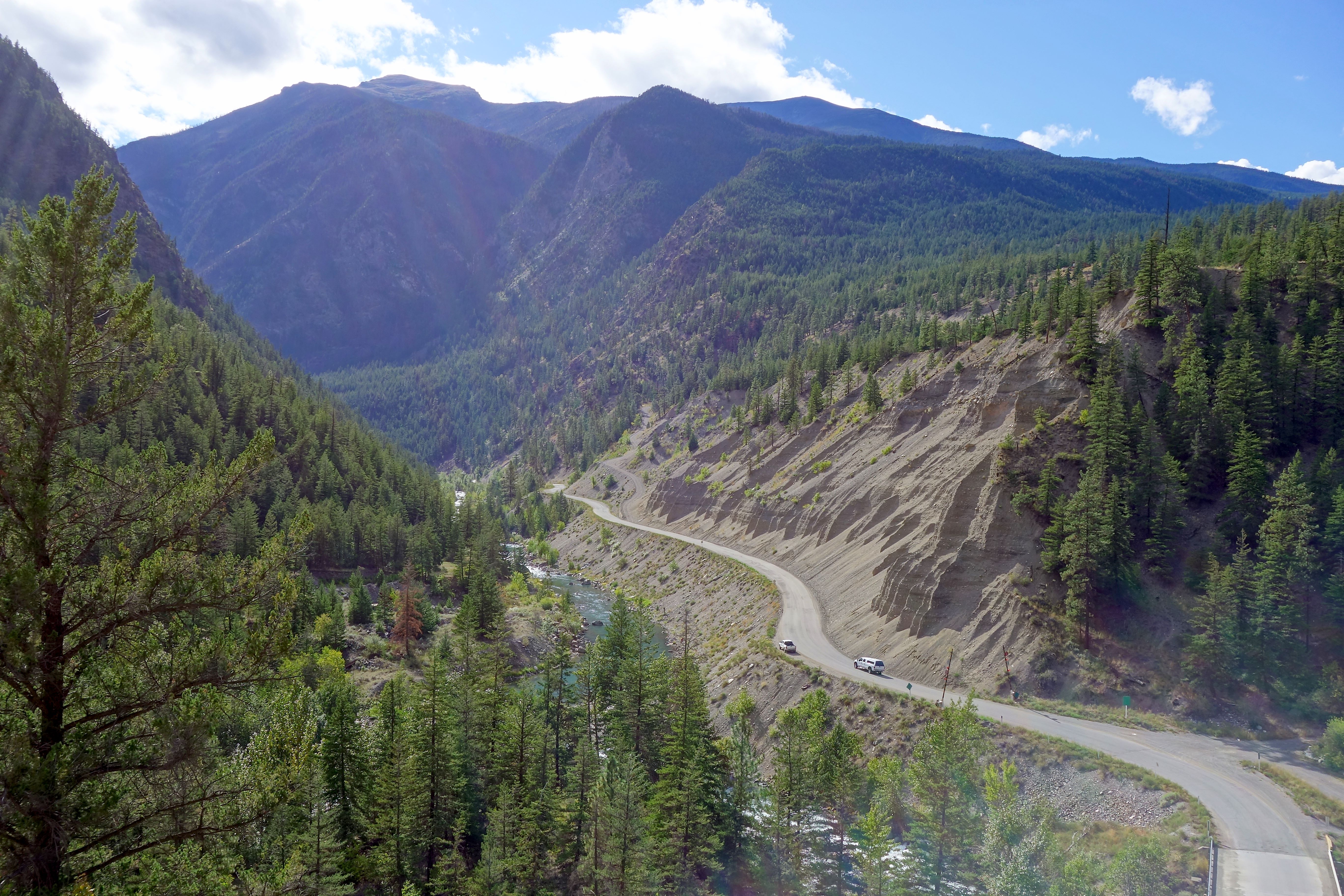
English: Dirt road to no man's land |
| Date | |
| Source | https://www.flickr.com/photos/slaunay/15268935857/ |
| Author | Sébastien Launay |
| Camera location | 50° 51′ 48.22″ N, 122° 10′ 11.95″ W | View this and other nearby images on: OpenStreetMap |
|---|
Licensing
This file is licensed under the Creative Commons Attribution 2.0 Generic license.
- You are free:
- to share – to copy, distribute and transmit the work
- to remix – to adapt the work
- Under the following conditions:
- attribution – You must give appropriate credit, provide a link to the license, and indicate if changes were made. You may do so in any reasonable manner, but not in any way that suggests the licensor endorses you or your use.
| This image was originally posted to Flickr by Sébastien Launay at https://flickr.com/photos/56212573@N02/15268935857. It was reviewed on 21 August 2020 by FlickreviewR 2 and was confirmed to be licensed under the terms of the cc-by-2.0. |
21 August 2020
Captions
Add a one-line explanation of what this file represents
Items portrayed in this file
depicts
some value
50°51'48.218"N, 122°10'11.946"W
30 August 2014
0.00625 second
13.090000152587890625 millimetre
160
image/jpeg
126bb529cc59e36bedbc840ef8de2b0d31e2b3ff
3,519,477 byte
3,648 pixel
5,472 pixel
File history
Click on a date/time to view the file as it appeared at that time.
| Date/Time | Thumbnail | Dimensions | User | Comment | |
|---|---|---|---|---|---|
| current | 19:26, 21 August 2020 | | 5,472 × 3,648 (3.36 MB) | Ponderosapine210 | Uploaded a work by Sébastien Launay from https://www.flickr.com/photos/slaunay/15268935857/ with UploadWizard |
File usage
The following pages on the English Wikipedia use this file (pages on other projects are not listed):
Metadata
This file contains additional information, probably added from the digital camera or scanner used to create or digitize it.
If the file has been modified from its original state, some details may not fully reflect the modified file.
| Camera manufacturer | SONY |
|---|---|
| Camera model | DSC-RX100M2 |
| Copyright holder |
|
| Exposure time | 1/160 sec (0.00625) |
| F-number | f/8 |
| ISO speed rating | 160 |
| Date and time of data generation | 17:11, 30 August 2014 |
| Lens focal length | 13.090000152588 mm |
| Headline | Dirt road to no man's land |
| Author | Sébastien Launay |
| Horizontal resolution | 300 dpi |
| Vertical resolution | 300 dpi |
| Software used | AfterShot Pro 2.0.3.25 |
| Exposure Program | Shutter priority |
| Date and time of digitizing | 17:11, 30 August 2014 |
| APEX brightness | 8.85703125 |
| Exposure bias | −0.3 |
| Maximum land aperture | 2.96875 APEX (f/2.8) |
| Metering mode | Center weighted average |
| Light source | Unknown |
| Flash | Flash did not fire, compulsory flash suppression |
| DateTime subseconds | 462 |
| Exposure mode | Auto exposure |
| White balance | Auto white balance |
| Focal length in 35 mm film | 35 mm |
| Scene capture type | Standard |
| Contrast | Normal |
| Saturation | High saturation |
| Sharpness | Hard |
| Width | 5,472 px |
| Height | 3,648 px |
| Receiver status | Measurement in progress |
| Rating (out of 5) | 0 |
| Keywords |
|
| Sublocation of city shown | Lillooet, BC, Canada |
| IIM version | 4 |