File:Bournheath_Village_Hall,_Claypit_Lane,_Bournheath_(geograph_2833761).jpg
From Wikipedia, the free encyclopedia
Size of this preview: 800 × 502 pixels. Other resolutions: 320 × 201 pixels | 640 × 402 pixels | 1,024 × 643 pixels.
Original file (1,024 × 643 pixels, file size: 216 KB, MIME type: image/jpeg)
| This is a file from the Wikimedia Commons. Information from its description page there is shown below. Commons is a freely licensed media file repository. You can help. |
Summary
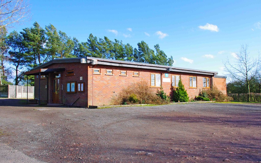
| DescriptionBournheath Village Hall, Claypit Lane, Bournheath (geograph 2833761).jpg |
English: Bournheath Village Hall, Claypit Lane, Bournheath |
| Date | |
| Source | From geograph.org.uk |
| Author | P L Chadwick |
| Permission (Reusing this file) |
Creative Commons Attribution Share-alike license 2.0 |
| Attribution (required by the license) InfoField | P L Chadwick / Bournheath Village Hall, Claypit Lane, Bournheath / |
InfoField | P L Chadwick / Bournheath Village Hall, Claypit Lane, Bournheath |
| Camera location | 52° 21′ 51.2″ N, 2° 04′ 24″ W | View this and other nearby images on: OpenStreetMap |
|---|
| Object location | 52° 21′ 51.2″ N, 2° 04′ 23″ W | View this and other nearby images on: OpenStreetMap |
|---|
Licensing

|
This image was taken from the Geograph project collection. See this photograph's page on the Geograph website for the photographer's contact details. The copyright on this image is owned by P L Chadwick and is licensed for reuse under the Creative Commons Attribution-ShareAlike 2.0 license.
|
This file is licensed under the Creative Commons Attribution-Share Alike 2.0 Generic license.
Attribution: P L Chadwick
- You are free:
- to share – to copy, distribute and transmit the work
- to remix – to adapt the work
- Under the following conditions:
- attribution – You must give appropriate credit, provide a link to the license, and indicate if changes were made. You may do so in any reasonable manner, but not in any way that suggests the licensor endorses you or your use.
- share alike – If you remix, transform, or build upon the material, you must distribute your contributions under the same or compatible license as the original.
Captions
Add a one-line explanation of what this file represents
Items portrayed in this file
depicts
some value
52°21'51.160"N, 2°4'23.653"W
3 March 2012
52°21'51.16"N, 2°4'23.12"W
image/jpeg
cb66ad230f3a35abecb85747e5372a809c863060
221,016 byte
643 pixel
1,024 pixel
File history
Click on a date/time to view the file as it appeared at that time.
| Date/Time | Thumbnail | Dimensions | User | Comment | |
|---|---|---|---|---|---|
| current | 17:47, 19 January 2018 | | 1,024 × 643 (216 KB) | WereSpielChequers | Transferred from geograph.co.uk using [https://tools.wmflabs.org/geograph2commons/ geograph2commons] |
File usage
The following pages on the English Wikipedia use this file (pages on other projects are not listed):
.jpg)