File:Boston_South_Station_-_panoramio.jpg
From Wikipedia, the free encyclopedia
Size of this preview: 800 × 533 pixels. Other resolutions: 320 × 213 pixels | 640 × 426 pixels | 1,024 × 682 pixels | 1,280 × 852 pixels | 2,560 × 1,705 pixels | 4,000 × 2,664 pixels.
Original file (4,000 × 2,664 pixels, file size: 1.99 MB, MIME type: image/jpeg)
| This is a file from the Wikimedia Commons. Information from its description page there is shown below. Commons is a freely licensed media file repository. You can help. |
Summary
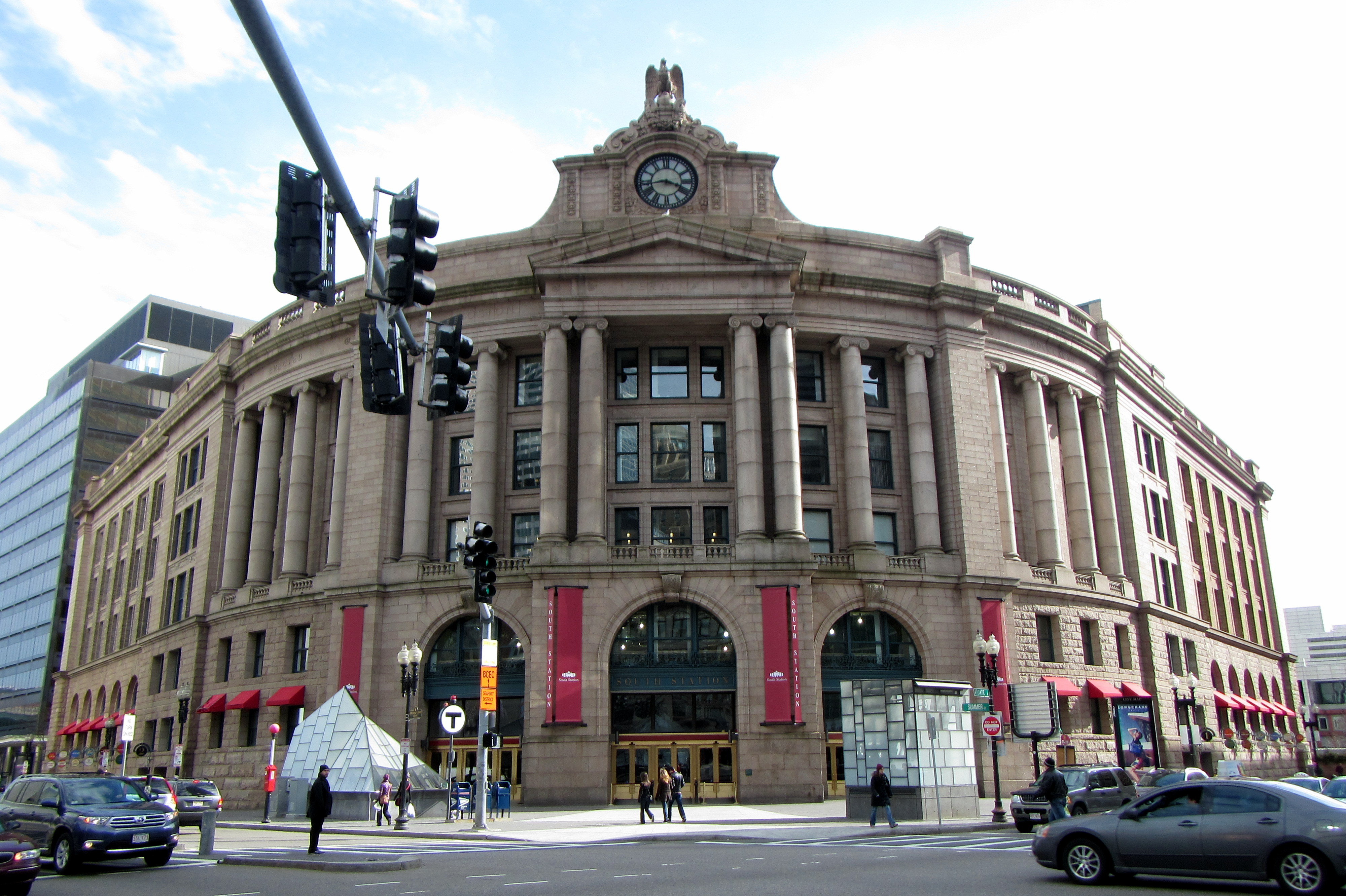
| DescriptionBoston South Station - panoramio.jpg |
Boston South Station العربية: محطة بوسطن الجنوبية |
||
| Date | Taken on 16 March 2013 | ||
| Source | https://web.archive.org/web/20161027015031/http://www.panoramio.com/photo/87441763 | ||
| Author | Bohao Zhao | ||
| Permission (Reusing this file) |
This file is licensed under the Creative Commons Attribution 3.0 Unported license. Attribution: Bohao Zhao
|
||
| Tags (from Panoramio photo page) InfoField | Boston, United States |
| Camera location | 42° 21′ 08.9″ N, 71° 03′ 17.5″ W | View this and other nearby images on: OpenStreetMap |
|---|
Captions
Add a one-line explanation of what this file represents
Items portrayed in this file
depicts
42°21'8.899"N, 71°3'17.496"W
16 March 2013
0.003125 second
3.9
5 millimetre
100
image/jpeg
7b37f177b9691efdf5d3b664306e174ecdd608af
2,083,484 byte
2,664 pixel
4,000 pixel
File history
Click on a date/time to view the file as it appeared at that time.
| Date/Time | Thumbnail | Dimensions | User | Comment | |
|---|---|---|---|---|---|
| current | 03:58, 14 February 2017 | | 4,000 × 2,664 (1.99 MB) | Panoramio upload bot | == {{int:filedesc}} == {{Information |description=Boston South Station |date={{Taken on|2013-03-16}} |source=http://www.panoramio.com/photo/87441763 |author=[http://www.panoramio.com/user/828011?with_photo_id=87441763 Bohao Zhao] |permission={{cc-by-3.... |
File usage
The following pages on the English Wikipedia use this file (pages on other projects are not listed):
Global file usage
The following other wikis use this file:
Metadata
This file contains additional information, probably added from the digital camera or scanner used to create or digitize it.
If the file has been modified from its original state, some details may not fully reflect the modified file.
| Camera manufacturer | Canon |
|---|---|
| Camera model | Canon PowerShot D20 |
| Author | Picasa |
| Exposure time | 1/320 sec (0.003125) |
| F-number | f/3.9 |
| ISO speed rating | 100 |
| Date and time of data generation | 13:42, 16 March 2013 |
| Lens focal length | 5 mm |
| Latitude | 42° 21′ 8.9″ N |
| Longitude | 71° 3′ 17.5″ W |
| Altitude | 9.9 meters above sea level |
| Horizontal resolution | 180 dpi |
| Vertical resolution | 180 dpi |
| Software used | Picasa |
| File change date and time | 16:51, 16 March 2013 |
| Y and C positioning | Co-sited |
| Exif version | 2.3 |
| Date and time of digitizing | 13:42, 16 March 2013 |
| Meaning of each component |
|
| Image compression mode | 3 |
| Shutter speed | 8.3125 |
| APEX aperture | 3.9375 |
| Exposure bias | 0 |
| Maximum land aperture | 3.9375 APEX (f/3.91) |
| Metering mode | Pattern |
| Flash | Flash did not fire, compulsory flash suppression |
| Supported Flashpix version | 1 |
| Color space | sRGB |
| Focal plane X resolution | 16,393.442622951 |
| Focal plane Y resolution | 16,393.442622951 |
| Focal plane resolution unit | inches |
| Sensing method | One-chip color area sensor |
| File source | Digital still camera |
| Custom image processing | Normal process |
| Exposure mode | Auto exposure |
| White balance | Manual white balance |
| Digital zoom ratio | 1 |
| Scene capture type | Standard |
| Unique image ID | 10d729fafc8ab6a7ae7c6ae1b43fba3e |
| GPS time (atomic clock) | 19:42 |
| Receiver status | Measurement in progress |
| Geodetic survey data used | WGS-84 |
| GPS date | 16 March 2013 |
| GPS tag version | 0.0.3.2 |
| Rating (out of 5) | 0 |
| IIM version | 4 |