File:Bassenthwaite_Lake_from_Dodd_summit.jpg
From Wikipedia, the free encyclopedia
Size of this preview: 800 × 279 pixels. Other resolutions: 320 × 112 pixels | 640 × 223 pixels | 1,024 × 357 pixels | 1,280 × 446 pixels | 2,560 × 892 pixels | 6,496 × 2,264 pixels.
Original file (6,496 × 2,264 pixels, file size: 2 MB, MIME type: image/jpeg)
| This is a file from the Wikimedia Commons. Information from its description page there is shown below. Commons is a freely licensed media file repository. You can help. |
Summary
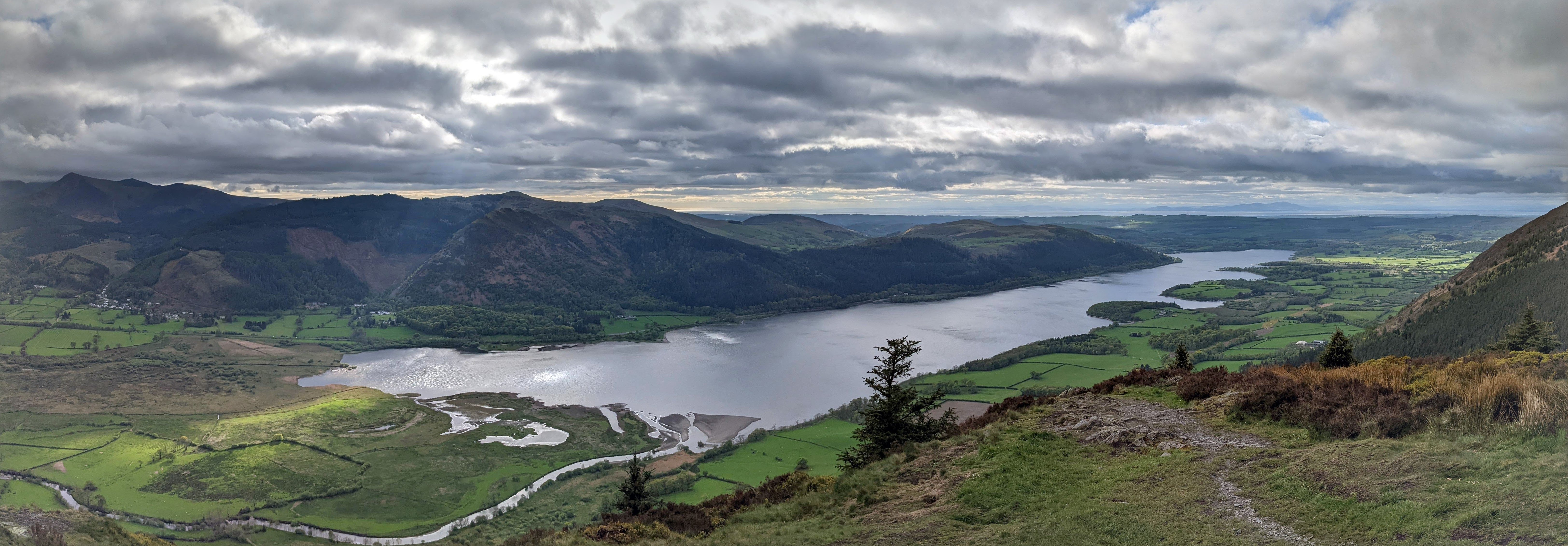
| DescriptionBassenthwaite Lake from Dodd summit.jpg |
English: Panoramic view of Bassenthwaite Lake from the summit of Dodd |
| Date | 4 May 2022 |
| Source | Own work |
| Author | Mikenorton |
| Camera location | 54° 38′ 08.34″ N, 3° 10′ 20.85″ W | View this and other nearby images on: OpenStreetMap |
|---|
Licensing
I, the copyright holder of this work, hereby publish it under the following license:
This file is licensed under the Creative Commons Attribution-Share Alike 4.0 International license.
- You are free:
- to share – to copy, distribute and transmit the work
- to remix – to adapt the work
- Under the following conditions:
- attribution – You must give appropriate credit, provide a link to the license, and indicate if changes were made. You may do so in any reasonable manner, but not in any way that suggests the licensor endorses you or your use.
- share alike – If you remix, transform, or build upon the material, you must distribute your contributions under the same or compatible license as the original.
Captions
Bassenthwaite Lake panorama
Items portrayed in this file
depicts
54°38'8.340"N, 3°10'20.849"W
image/jpeg
ceda294c93e65bf304b2141f4b762f20fc97aaec
2,091,969 byte
2,264 pixel
6,496 pixel
File history
Click on a date/time to view the file as it appeared at that time.
| Date/Time | Thumbnail | Dimensions | User | Comment | |
|---|---|---|---|---|---|
| current | 08:58, 12 July 2022 | 6,496 × 2,264 (2 MB) | Mikenorton | Uploaded own work with UploadWizard |
File usage
The following pages on the English Wikipedia use this file (pages on other projects are not listed):
Global file usage
The following other wikis use this file:
- Usage on fr.wikipedia.org
Metadata
This file contains additional information, probably added from the digital camera or scanner used to create or digitize it.
If the file has been modified from its original state, some details may not fully reflect the modified file.
| Camera manufacturer | |
|---|---|
| Camera model | Pixel 4a |
| Date and time of data generation | 17:50, 4 May 2022 |
| Lens focal length | 4.3800001144409 mm |
| Latitude | 54° 38′ 8.34″ N |
| Longitude | 3° 10′ 20.85″ W |
| Altitude | 131.89 meters above sea level |
| Software used | Picasa |
| Subsampling ratio of Y to C |
|
| Exif version | 2.2 |
| Subject distance | 4,294,967,295 meters |
| Color space | sRGB |
| Unique image ID | 3f83eb4aedd0b50e0000000000000000 |
| GPS tag version | 0.0.2.2 |
| IIM version | 4 |