File:Aruba_relief_location_map.jpg
From Wikipedia, the free encyclopedia
Size of this preview: 606 × 599 pixels. Other resolutions: 243 × 240 pixels | 485 × 480 pixels | 888 × 878 pixels.
Original file (888 × 878 pixels, file size: 161 KB, MIME type: image/jpeg)
| This is a file from the Wikimedia Commons. Information from its description page there is shown below. Commons is a freely licensed media file repository. You can help. |
Summary
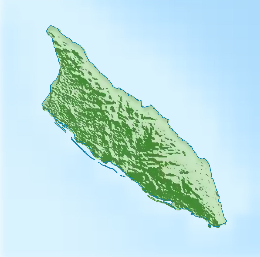
| DescriptionAruba relief location map.jpg |
Deutsch: Physische Positionskarte von Aruba
Mercator-Projektion. Geographische Begrenzung der Karte:
English: Physical location map of Aruba
Mercator projection. Geographic limits of the map:
|
| Date | |
| Source |
Own work, using
|
| Author | Carport |
| Other versions |
|
.svg)
Licensing
This file is licensed under the Creative Commons Attribution-Share Alike 3.0 Unported license.
- You are free:
- to share – to copy, distribute and transmit the work
- to remix – to adapt the work
- Under the following conditions:
- attribution – You must give appropriate credit, provide a link to the license, and indicate if changes were made. You may do so in any reasonable manner, but not in any way that suggests the licensor endorses you or your use.
- share alike – If you remix, transform, or build upon the material, you must distribute your contributions under the same or compatible license as the original.
Captions
Add a one-line explanation of what this file represents
Items portrayed in this file
depicts
30 November 2012
image/jpeg
c913360cda3447e8c21ad2a11aca463e1de76f83
164,397 byte
878 pixel
888 pixel
File history
Click on a date/time to view the file as it appeared at that time.
| Date/Time | Thumbnail | Dimensions | User | Comment | |
|---|---|---|---|---|---|
| current | 15:17, 30 November 2012 | | 888 × 878 (161 KB) | Carport | {{Information |Description={{de|1=Physische Positionskarte von {{w|Aruba|3=de}} {{w|Mercator-Projektion|3=de}}. Geographische Begrenzung der Karte: * N: 12.65° N * S: 12.38° N * W: 70.11° W * O: 69.83° W}} {{en|1=Physical location map of {{w|Aruba... |
File usage
The following pages on the English Wikipedia use this file (pages on other projects are not listed):
Global file usage
The following other wikis use this file:
- Usage on af.wikipedia.org
- Usage on ar.wikipedia.org
- Usage on ast.wikipedia.org
- Usage on az.wikipedia.org
- Usage on be-tarask.wikipedia.org
- Usage on bg.wikipedia.org
- Usage on bs.wikipedia.org
- Usage on ceb.wikipedia.org
- Usage on cs.wikipedia.org
- Usage on da.wikipedia.org
- Usage on de.wikipedia.org
- Usage on de.wikivoyage.org
- Usage on el.wikipedia.org
- Usage on eo.wikipedia.org
- Usage on es.wikipedia.org
- Usage on fr.wikipedia.org
- Usage on he.wikipedia.org
- Usage on id.wikipedia.org
- Usage on it.wikivoyage.org
View more global usage of this file.
Retrieved from "https://en.wikipedia.org/wiki/File:Aruba_relief_location_map.jpg"