File:Annapolis_valley_map.png
From Wikipedia, the free encyclopedia
Size of this preview: 734 × 599 pixels. Other resolutions: 294 × 240 pixels | 588 × 480 pixels | 941 × 768 pixels | 1,254 × 1,024 pixels | 2,000 × 1,633 pixels.
Original file (2,000 × 1,633 pixels, file size: 546 KB, MIME type: image/png)
| This is a file from the Wikimedia Commons. Information from its description page there is shown below. Commons is a freely licensed media file repository. You can help. |
Summary

|
This file was moved to Wikimedia Commons from en.wikipedia using a bot script. All source information is still present. It requires review. Additionally, there may be errors in any or all of the information fields; information on this file should not be considered reliable and the file should not be used until it has been reviewed and any needed corrections have been made. Once the review has been completed, this template should be removed. For details about this file, see below. Check now! |
| DescriptionAnnapolis valley map.png |
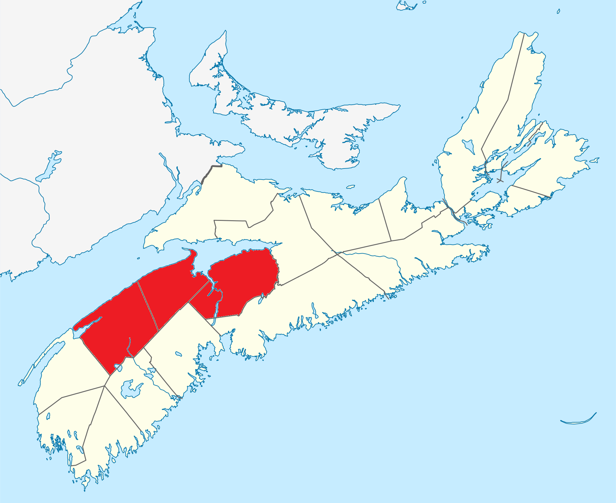
English: Map of the Annapolis Valley region |
| Date | (UTC) |
| Source | I (Canadian) created this work entirely by myself. |
| Author | Canadian |
Licensing
Canadaolympic989 at the English-language Wikipedia, the copyright holder of this work, hereby publishes it under the following license:
| This file is licensed under the Creative Commons Attribution-Share Alike 3.0 Unported license. Subject to disclaimers. | ||
| Attribution: Canadaolympic989 at the English-language Wikipedia | ||
| ||
| This licensing tag was added to this file as part of the GFDL licensing update.http://creativecommons.org/licenses/by-sa/3.0/CC BY-SA 3.0Creative Commons Attribution-Share Alike 3.0truetrue |

|
Permission is granted to copy, distribute and/or modify this document under the terms of the GNU Free Documentation License, Version 1.2 or any later version published by the Free Software Foundation; with no Invariant Sections, no Front-Cover Texts, and no Back-Cover Texts. A copy of the license is included in the section entitled GNU Free Documentation License. Subject to disclaimers.http://www.gnu.org/copyleft/fdl.htmlGFDLGNU Free Documentation Licensetruetrue |
Original upload log
Transferred from en.wikipedia to Commons by Dharmadhyaksha using CommonsHelper.
The original description page was here. All following user names refer to en.wikipedia.
- 2012-07-13 00:09 Canadaolympic989 2000×1633× (559489 bytes) Fixing as per Statistics Canada ([[Wikipedia:File_Upload_Wizard|File Upload Wizard]])
- 2010-02-09 02:48 Canadaolympic989 2000×1633× (559767 bytes) {{Information |Description = Map of the Annapolis Valley region |Source = I (Canadian) created this work entirely by myself. |Date = ~~~~~ |Author = Canadian |other_versions = }}
Captions
Add a one-line explanation of what this file represents
Items portrayed in this file
depicts
9 February 2010
image/png
6c6d3d83dfec650b35987154d066336dab23f36c
559,489 byte
1,633 pixel
2,000 pixel
File history
Click on a date/time to view the file as it appeared at that time.
| Date/Time | Thumbnail | Dimensions | User | Comment | |
|---|---|---|---|---|---|
| current | 08:52, 1 February 2013 | | 2,000 × 1,633 (546 KB) | File Upload Bot (Magnus Manske) | Transfered from en.wikipedia by User:Dharmadhyaksha using CommonsHelper |
File usage
The following pages on the English Wikipedia use this file (pages on other projects are not listed):
Global file usage
The following other wikis use this file:
- Usage on ceb.wikipedia.org
- Usage on fr.wikivoyage.org
- Usage on it.wikipedia.org
- Usage on ru.wikipedia.org
- Usage on sv.wikipedia.org
- Usage on www.wikidata.org
Metadata
This file contains additional information, probably added from the digital camera or scanner used to create or digitize it.
If the file has been modified from its original state, some details may not fully reflect the modified file.
| Horizontal resolution | 37.8 dpc |
|---|---|
| Vertical resolution | 37.8 dpc |
| File change date and time | 17:16, 18 October 2009 |
Retrieved from "https://en.wikipedia.org/wiki/File:Annapolis_valley_map.png"