File:AltynDepeMap.jpg
From Wikipedia, the free encyclopedia
Size of this preview: 776 × 600 pixels. Other resolutions: 311 × 240 pixels | 621 × 480 pixels | 994 × 768 pixels | 1,188 × 918 pixels.
Original file (1,188 × 918 pixels, file size: 62 KB, MIME type: image/jpeg)
| This is a file from the Wikimedia Commons. Information from its description page there is shown below. Commons is a freely licensed media file repository. You can help. |

|
This locator map image could be re-created using vector graphics as an SVG file. This has several advantages; see Commons:Media for cleanup for more information. If an SVG form of this image is available, please upload it and afterwards replace this template with
{{vector version available|new image name}}.
It is recommended to name the SVG file “AltynDepeMap.svg”—then the template Vector version available (or Vva) does not need the new image name parameter. |
 | This locator map image was uploaded in the JPEG format even though it consists of non-photographic data. This information could be stored more efficiently or accurately in the PNG or SVG format. If possible, please upload a PNG or SVG version of this image without compression artifacts, derived from a non-JPEG source (or with existing artifacts removed). After doing so, please tag the JPEG version with {{Superseded|NewImage.ext}} and remove this tag. This tag should not be applied to photographs or scans. If this image is a diagram or other image suitable for vectorisation, please tag this image with {{Convert to SVG}} instead of {{BadJPEG}}. If not suitable for vectorisation, use {{Convert to PNG}}. For more information, see {{BadJPEG}}. |  |
| DescriptionAltynDepeMap.jpg | ||||
| Date | ||||
| Source | Own work, and | |||
| Author | Kosigrim at English Wikipedia | |||
| Permission (Reusing this file) |
|
Original upload log
The original description page was here. All following user names refer to en.wikipedia.
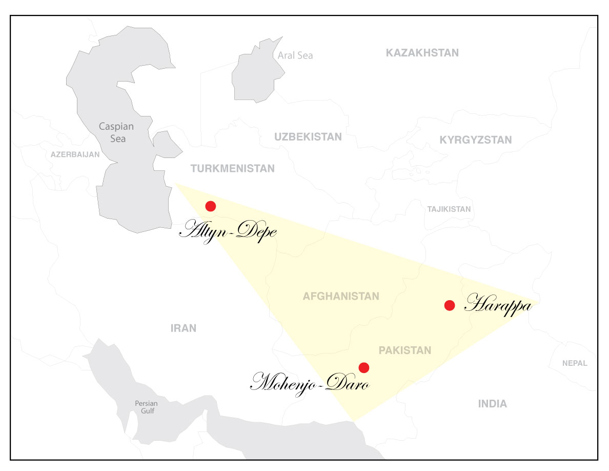
- 2007-05-04 18:31 Kosigrim 1188×918× (63571 bytes) Map of the cultural zones in the [[Middle East]] during [[Eneolithic]].
Captions
Add a one-line explanation of what this file represents
Items portrayed in this file
depicts
4 May 2007
image/jpeg
d915662c5e1796e4298369eea93a1ca9fcb50a45
63,571 byte
918 pixel
1,188 pixel
File history
Click on a date/time to view the file as it appeared at that time.
| Date/Time | Thumbnail | Dimensions | User | Comment | |
|---|---|---|---|---|---|
| current | 11:50, 1 April 2014 | | 1,188 × 918 (62 KB) | Taiwania Justo | Transferred from en.wikipedia |
File usage
The following pages on the English Wikipedia use this file (pages on other projects are not listed):
Global file usage
The following other wikis use this file:
- Usage on ar.wikipedia.org
- Usage on be.wikipedia.org
- Usage on el.wikipedia.org
- Usage on eo.wikipedia.org
- Usage on fa.wikipedia.org
- Usage on it.wikipedia.org
- Usage on pt.wikipedia.org
- Usage on ru.wikipedia.org
- Usage on ta.wikipedia.org
- Usage on tr.wikipedia.org
- Usage on uk.wikipedia.org
- Usage on zh.wikipedia.org
Retrieved from "https://en.wikipedia.org/wiki/File:AltynDepeMap.jpg"