File:Robert-Island-location-map.png
From Wikipedia, the free encyclopedia
Size of this preview: 800 × 548 pixels. Other resolutions: 320 × 219 pixels | 640 × 439 pixels | 1,024 × 702 pixels | 1,280 × 877 pixels | 1,669 × 1,144 pixels.
Original file (1,669 × 1,144 pixels, file size: 150 KB, MIME type: image/png)
| This is a file from the Wikimedia Commons. Information from its description page there is shown below. Commons is a freely licensed media file repository. You can help. |
Summary
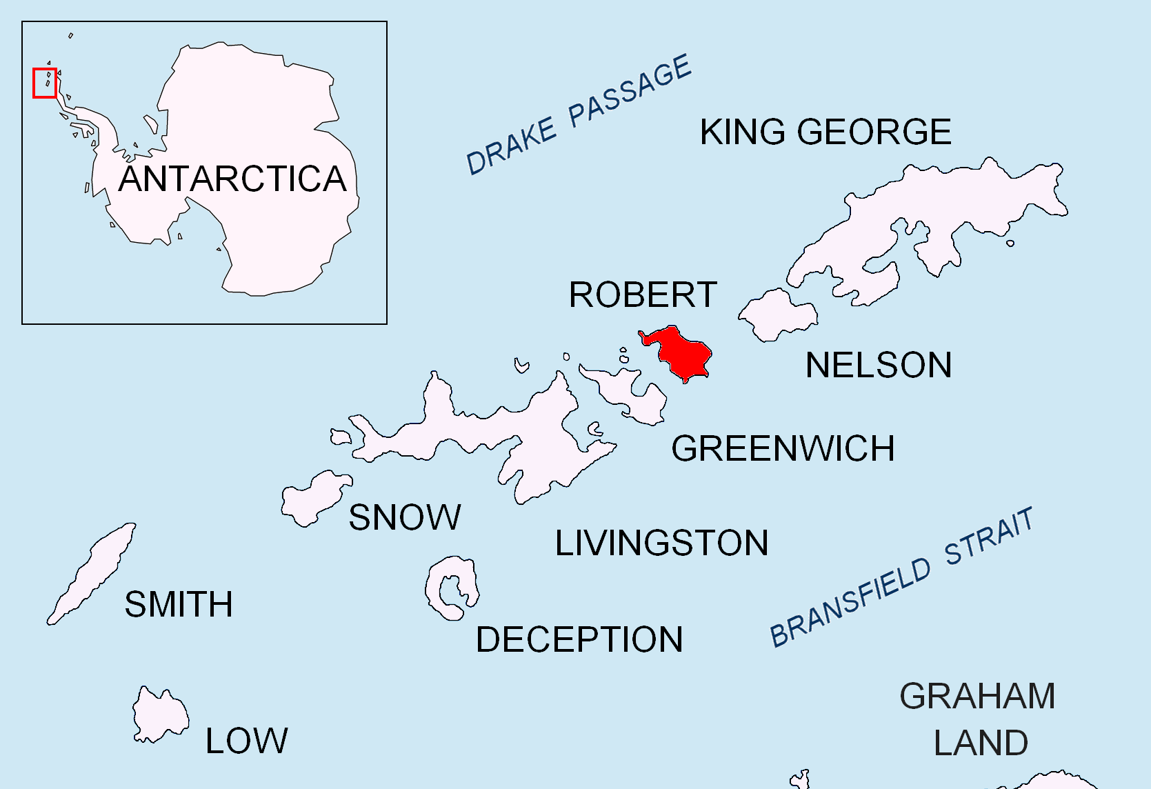
| DescriptionRobert-Island-location-map.png |
English: Location map of Robert Island in the South Shetland Islands. |
| Date | |
| Source | Own work |
| Author | Apcbg |
Licensing
I, the copyright holder of this work, hereby publish it under the following licenses:
This file is licensed under the Creative Commons Attribution-Share Alike 3.0 Unported license.
- You are free:
- to share – to copy, distribute and transmit the work
- to remix – to adapt the work
- Under the following conditions:
- attribution – You must give appropriate credit, provide a link to the license, and indicate if changes were made. You may do so in any reasonable manner, but not in any way that suggests the licensor endorses you or your use.
- share alike – If you remix, transform, or build upon the material, you must distribute your contributions under the same or compatible license as the original.

|
Permission is granted to copy, distribute and/or modify this document under the terms of the GNU Free Documentation License, Version 1.2 or any later version published by the Free Software Foundation; with no Invariant Sections, no Front-Cover Texts, and no Back-Cover Texts. A copy of the license is included in the section entitled GNU Free Documentation License.http://www.gnu.org/copyleft/fdl.htmlGFDLGNU Free Documentation Licensetruetrue |
You may select the license of your choice.
Captions
Add a one-line explanation of what this file represents
Items portrayed in this file
depicts
27 April 2010
File history
Click on a date/time to view the file as it appeared at that time.
| Date/Time | Thumbnail | Dimensions | User | Comment | |
|---|---|---|---|---|---|
| current | 11:30, 25 August 2010 | | 1,669 × 1,144 (150 KB) | Apcbg | + location in Antarctica |
| 18:37, 27 April 2010 |  | 1,669 × 1,144 (5.47 MB) | Apcbg | {{Information |Description={{en|1=Location map of Robert Island in the South Shetland Islands.}} |Source={{own}} |Author=Apcbg |Date=2010-04-27 |Permission= |other_versions= }} Category:Maps of Antarctica |
File usage
The following pages on the English Wikipedia use this file (pages on other projects are not listed):
- Alepu Rocks
- Alfatar Peninsula
- Asemus Beach
- Asses Ears (South Shetland Islands)
- Avren Rocks
- Bajo Nunatak
- Batuliya Point
- Beron Point
- Bikorn Lake
- Boatin Island
- Carlota Cove
- Catharina Point
- Churicheni Island
- Clothier Harbour
- Coppermine Peninsula
- Cornwall Island (Antarctica)
- Debelyanov Point
- Devesil Bight
- Divotino Point
- Edwards Point
- Fort William (Robert Island)
- Galiche Rock
- Garnya Cove
- Graovo Rocks
- Grod Island
- Hammer Point
- Henfield Rock
- Heywood Island (Antarctica)
- Izgrev Passage
- Kermen Peninsula
- Kitchen Point
- Kovach Island
- Kozloduy Cove
- Kruni Cove
- Lavrenov Point
- Leeve Island
- Lientur Rocks
- Makresh Rocks
- Micalvi Cove
- Milev Rocks
- Misnomer Point
- Mitchell Cove
- Negra Point
- Nevestino Cove
- Newell Point
- Oescus Island
- Onogur Islands
- Opaka Rocks
- Orsoya Rocks
- Osenovlag Island
- Patresh Rock
- Perelik Point
- Pordim Islands
- Potmess Rocks
- Priboy Rocks
- Redina Island
- Risopatrón Base
- Robert Point
- Rogozen Island
- Sadala Point
- Shipot Point
- Skrino Rocks
- Smirnenski Point
- Somovit Point
- Suhache Rock
- Svetulka Island
- Tatul Island
- The Triplets (Robert Island)
- Tirizis Island
- Treklyano Island
- Tsepina Cove
- Ugarchin Point
- Vilare Island
- Vrabcha Cove
- Yundola Cove
- Zahari Point
Global file usage
The following other wikis use this file:
- Usage on az.wikipedia.org
- Mikalvi buxtası
- Kruni buxtası
- Zahari burnu
- Neqra burnu
- Edvards burnu
- Robert burnu
- Tsepina buxtası
- Somovit burnu
- Batuliya burnu
- Sadala burnu
- Kitçen burnu
- Smirnenski burnu
- Qarinya buxtası
- Divotino burnu
- Svetulka adası
- Osenovlaq adası
- Oeskus adası
- Redina adası
- Kovaç adası
- Qrod adası
- Çuriçeni adası
- Vilare adası
- Leeve adası
- Onoqur adaları
- Misnomer burnu
- Debelyanov burnu
- Hammer burnu
- Nevestino buxtası
- Katarina burnu
- Kozloduy buxtası
- Perelik burnu
- Vrabça buxtası
- Yundola buxtası
- Lavrenov burnu
- Uqarçi burnu
- Usage on bg.wikipedia.org
View more global usage of this file.
Retrieved from "https://en.wikipedia.org/wiki/File:Robert-Island-location-map.png"