File:Caldicot_railway_station_(geograph_3199648).jpg
From Wikipedia, the free encyclopedia
No higher resolution available.
Caldicot_railway_station_(geograph_3199648).jpg (800 × 600 pixels, file size: 144 KB, MIME type: image/jpeg)
| This is a file from the Wikimedia Commons. Information from its description page there is shown below. Commons is a freely licensed media file repository. You can help. |
Summary
| DescriptionCaldicot railway station (geograph 3199648).jpg |
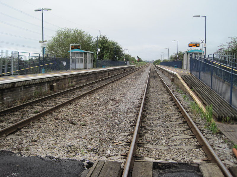
English: Caldicot railway station |
| Date | |
| Source | From geograph.org.uk |
| Author | Nigel Thompson |
| Permission (Reusing this file) |
Creative Commons Attribution Share-alike license 2.0 |
| Attribution (required by the license) InfoField | Nigel Thompson / Caldicot railway station / |
InfoField | Nigel Thompson / Caldicot railway station |
| Camera location | 51° 35′ 04.3″ N, 2° 45′ 33″ W | View this and other nearby images on: OpenStreetMap |
|---|
| Object location | 51° 35′ 04.3″ N, 2° 45′ 38″ W | View this and other nearby images on: OpenStreetMap |
|---|
Licensing

|
This image was taken from the Geograph project collection. See this photograph's page on the Geograph website for the photographer's contact details. The copyright on this image is owned by Nigel Thompson and is licensed for reuse under the Creative Commons Attribution-ShareAlike 2.0 license.
|
This file is licensed under the Creative Commons Attribution-Share Alike 2.0 Generic license.
Attribution: Nigel Thompson
- You are free:
- to share – to copy, distribute and transmit the work
- to remix – to adapt the work
- Under the following conditions:
- attribution – You must give appropriate credit, provide a link to the license, and indicate if changes were made. You may do so in any reasonable manner, but not in any way that suggests the licensor endorses you or your use.
- share alike – If you remix, transform, or build upon the material, you must distribute your contributions under the same or compatible license as the original.
Captions
Add a one-line explanation of what this file represents
Items portrayed in this file
depicts
some value
18 August 2012
51°35'4.297"N, 2°45'33.372"W
51°35'4.27"N, 2°45'37.51"W
image/jpeg
2b5a01cd9b2a56883e5d150829bbdb96a95c439a
147,040 byte
600 pixel
800 pixel
File history
Click on a date/time to view the file as it appeared at that time.
| Date/Time | Thumbnail | Dimensions | User | Comment | |
|---|---|---|---|---|---|
| current | 16:17, 5 September 2019 | | 800 × 600 (144 KB) | Fort esc | Transferred from geograph.co.uk using [https://tools.wmflabs.org/geograph2commons/ geograph2commons] |
File usage
No pages on the English Wikipedia use this file (pages on other projects are not listed).
.jpg)