Brantas River
River in East Java in Indonesia From Wikipedia, the free encyclopedia
River in East Java in Indonesia From Wikipedia, the free encyclopedia
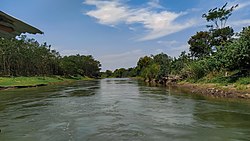
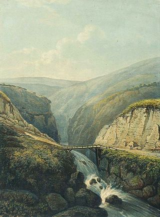
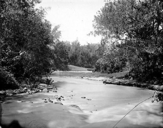
The Brantas is the longest river in East Java, Indonesia.[2] It has a length of 320 km,[3] and drains an area of over 11,000 km2 from the southern slope of Mount Kawi-Kelud-Butak, Mount Wilis, and the northern slopes of Mount Liman-Limas, Mount Welirang, and Mount Anjasmoro.[4] Its course is semi-circular or spiral in shape: at its source, the river heads southeast, but gradually curves south, then southwest, west, then north, and finally it flows generally eastward at the point where it branches off to become the Kalimas and Porong River.
| Brantas River Kali Brantas, Sungai Brantas | |
|---|---|
 Brantas river, Kediri regency. | |
| Location | |
| Country | |
| Province | East Java |
| Physical characteristics | |
| Source | Arjuno-Welirang |
| Mouth | |
• location | Madura Strait |
| Length | 320 km (200 mi) |
| Basin size | 11,900 km2 (4,600 sq mi)[1] |
| Discharge | |
| • location | Near mouth |
| • average | 579 m3/s (20,400 cu ft/s) |
| Basin features | |
| River system | Brantas Basin (DAS220228)[1] |


King Mpu Sindok moved his kingdom from the Mataram Kingdom in Central Java to a new location on this river circa 950 A.D. Possibly (only one of several reasons given) due to a Mount Merapi volcanic eruption, he had to leave his kingdom to this new safe place near the present city of Madiun.
The river flows in the eastern area of Java with a predominantly tropical monsoon climate (designated as Am in the Köppen-Geiger climate classification).[5] The annual average temperature in the area is 26 °C. The warmest month is October when the average temperature is around 30 °C, and the coldest is June, at 24 °C on average.[6] The average annual rainfall is 2982 mm. The wettest month is March, with an average of 496 mm of rainfall, and the driest is August, with 28 mm of rainfall.[7]
| Brantas River | ||||||||||||||||||||||||||||||||||||||||||||||||||||||||||||
|---|---|---|---|---|---|---|---|---|---|---|---|---|---|---|---|---|---|---|---|---|---|---|---|---|---|---|---|---|---|---|---|---|---|---|---|---|---|---|---|---|---|---|---|---|---|---|---|---|---|---|---|---|---|---|---|---|---|---|---|---|
| Climate chart (explanation) | ||||||||||||||||||||||||||||||||||||||||||||||||||||||||||||
| ||||||||||||||||||||||||||||||||||||||||||||||||||||||||||||
| ||||||||||||||||||||||||||||||||||||||||||||||||||||||||||||
Seamless Wikipedia browsing. On steroids.
Every time you click a link to Wikipedia, Wiktionary or Wikiquote in your browser's search results, it will show the modern Wikiwand interface.
Wikiwand extension is a five stars, simple, with minimum permission required to keep your browsing private, safe and transparent.