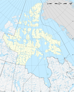
Wales Island (Inuktitut: Shartoo; früher Prince of Wales Island) ist eine unbewohnte Insel des Kanadisch-arktischen Archipels in der Qikiqtaaluk-Region des kanadischen Territoriums Nunavut.
| Wales Island | ||
|---|---|---|
 | ||
| Gewässer | Committee Bay im Golf von Boothia, Arktischer Ozean | |
| Inselgruppe | Kanadisch-arktischer Archipel | |
| Geographische Lage | 68° 1′ N, 86° 40′ W | |
|
| ||
| Länge | 63 km | |
| Breite | 23 km | |
| Fläche | 1 137 km² | |
| Höchste Erhebung | 165 m | |
| Einwohner | unbewohnt | |
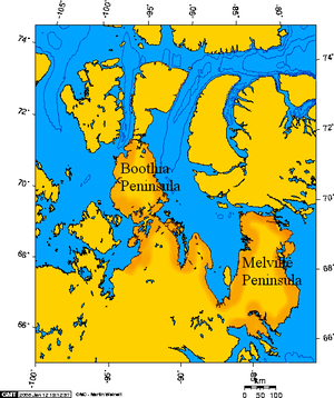
Die Insel liegt 1,5 km vor der Küste der Melville Peninsula im Süden des Golfs von Boothia in der Committee Bay.
Die Landfläche von Wales Island beträgt 1137 km².[1] Wales Island misst von Norden nach Süden 63 km, sowie 23 km in Ost-West-Richtung. Die höchste Erhebung der Insel erreicht 165 m.[2]
Die Insel wurde vom schottischen Polarforscher John Rae als "Prince of Wales Island" benannt. Später wurde der Inselname gekürzt und heißt seither nur noch "Wales Island".
Einzelnachweise
Weblinks
Wikiwand in your browser!
Seamless Wikipedia browsing. On steroids.
Every time you click a link to Wikipedia, Wiktionary or Wikiquote in your browser's search results, it will show the modern Wikiwand interface.
Wikiwand extension is a five stars, simple, with minimum permission required to keep your browsing private, safe and transparent.


