Top-Fragen
Zeitleiste
Chat
Kontext
Simara Island
Insel auf den Philippinen Aus Wikipedia, der freien Enzyklopädie
Remove ads
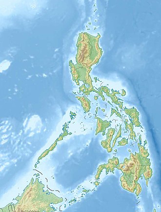
Simara Island[2] ist eine philippinische Insel im Norden der Sibuyansee. Sie liegt etwa 13 km nordwestlich der Insel Tablas und 9 km südlich von Banton Island.
Remove ads
Verwaltung
Simara gehört zur Gemeinde Corcuera (Municipality of Corcuera) in der philippinischen Provinz Romblon.
Einzelnachweise
Wikiwand - on
Seamless Wikipedia browsing. On steroids.
Remove ads


