Delwedd:South_Dakota_counties_map.gif
From Wikipedia, the free encyclopedia
Maint y rhagolwg: 800 × 523 picsel. Eglurdebau eraill: 320 × 209 picsel | 640 × 418 picsel | 865 × 565 picsel.
Maint llawn ((865 × 565 picsel, maint y ffeil: 41 KB, ffurf MIME: image/gif))
Daw'r ffeil hon o Comin Wikimedia a gellir ei defnyddio gan brosiectau eraill. Dangosir isod y disgrifiad sydd ar dudalen ddisgrifio'r ffeil yno.
Crynodeb
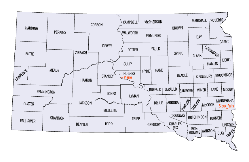
| DisgrifiadSouth Dakota counties map.gif | Map showing 66 counties of South Dakota |
| Ffynhonnell | http://www.fedstats.gov/qf/maps/stout46.gif |
| Awdur | FedStats |
| Caniatâd (Ailddefnyddio'r ffeil hon) |
This is an original work by the United States Federal Government, thus it belongs to public domain. |
Trwyddedu
| Public domainPublic domainfalsefalse |
This work is in the public domain in the United States because it is a work prepared by an officer or employee of the United States Government as part of that person’s official duties under the terms of Title 17, Chapter 1, Section 105 of the US Code.
Note: This only applies to original works of the Federal Government and not to the work of any individual U.S. state, territory, commonwealth, county, municipality, or any other subdivision. This template also does not apply to postage stamp designs published by the United States Postal Service since 1978. (See § 313.6(C)(1) of Compendium of U.S. Copyright Office Practices). It also does not apply to certain US coins; see The US Mint Terms of Use.
|
 | |
| Canfyddwyd bod y ffeil yn rhydd o gyfyngiadau yn ôl cyfraith hawlfraint, gan gynnwys pob hawl perthynol a chyfagos. | ||
https://creativecommons.org/publicdomain/mark/1.0/PDMCreative Commons Public Domain Mark 1.0falsefalse
Hanes y ffeil
Cliciwch ar ddyddiad / amser i weld y ffeil fel ag yr oedd bryd hynny.
| Dyddiad / Amser | Bawdlun | Hyd a lled | Defnyddiwr | Sylw | |
|---|---|---|---|---|---|
| cyfredol | 08:30, 12 Ebrill 2011 | | 865 × 565 (41 KB) | Yassie | {{Information |Description= Map showing 66 counties of South Dakota |Source= http://www.fedstats.gov/qf/maps/stout46.gif |Date= |Author= [http://www.fedstats.gov/ FedStats] |Permission= This is an original work by the United States Federal Government, thu |
Cysylltiadau'r ffeil
Mae'r 1 tudalennau a ddefnyddir isod yn cysylltu i'r ddelwedd hon:
Defnydd cydwici y ffeil
Mae'r wicis eraill hyn yn defnyddio'r ffeil hon:
- Y defnydd ar en.wikipedia.org
- Y defnydd ar fr.wikipedia.org
- Y defnydd ar hu.wikipedia.org
- Y defnydd ar ja.wikipedia.org
- Y defnydd ar ko.wikipedia.org