Delwedd:Afon_Crafnant_-_geograph.org.uk_-_134894.jpg
From Wikipedia, the free encyclopedia
Wedi ei chwyddo hyd yr eithaf.
Afon_Crafnant_-_geograph.org.uk_-_134894.jpg ((640 × 480 picsel, maint y ffeil: 102 KB, ffurf MIME: image/jpeg))
Daw'r ffeil hon o Comin Wikimedia a gellir ei defnyddio gan brosiectau eraill. Dangosir isod y disgrifiad sydd ar dudalen ddisgrifio'r ffeil yno.
Crynodeb
| DisgrifiadAfon Crafnant - geograph.org.uk - 134894.jpg |
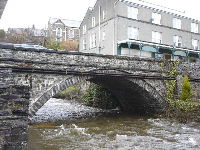
English: Afon Crafnant. The river at it flows under the bridge through the centre of Trefriw |
| Dyddiad | |
| Ffynhonnell | From geograph.org.uk |
| Awdur | Dot Potter |
| Cydnabyddiaeth (required by the license) InfoField | Dot Potter / Afon Crafnant / |
InfoField | Dot Potter / Afon Crafnant |
| Object location | 53° 09′ N, 3° 49′ W | View this and other nearby images on: OpenStreetMap |
|---|
|
Dyma lun o adeilad rhestredig rhif 3220. |
Mae'r cofnod Q29483104 ar Wiciddata yn cynnwys data am yr eitem hon. |
Trwyddedu

|
This image was taken from the Geograph project collection. See this photograph's page on the Geograph website for the photographer's contact details. The copyright on this image is owned by Dot Potter and is licensed for reuse under the Creative Commons Attribution-ShareAlike 2.0 license.
|
Trwyddedir y ffeil hon yn ôl termau'r drwydded Creative Commons Attribution-Share Alike 2.0 Generic.
Cydnabyddiaeth: Dot Potter
- Mae'n rhydd i chi:
- rhannu – gallwch gopïo, dosbarthu a throsglwyddo'r gwaith
- ailwampio – gallwch addasu'r gwaith
- Ar yr amodau canlynol:
- cydnabyddiaeth – Mae'n rhaid i chi nodi manylion y gwaith hwn, rhoi dolen i'r drwydded, a nodi os y bu golygu arni, yn y modd a benwyd gan yr awdur neu'r trwyddedwr (ond heb awgrymu o gwbl eu bod yn eich cymeradwyo chi na'ch defnydd o'r gwaith).
- rhannu ar dermau tebyg – Os byddwch yn addasu'r gwaith hwn, neu yn ei drawsnewid, neu yn adeiladu arno, mae'n rhaid i chi ddosbarthu'r gwaith dan drwydded sy'n union yr un fath same a'r gwreiddiol.
Captions
Add a one-line explanation of what this file represents
Items portrayed in this file
yn portreadu
some value
10 Mawrth 2006
coordinates of depicted place Saesneg
53°9'18"N, 3°49'12"W
media type Saesneg
image/jpeg
checksum Saesneg
000377ea4173eaac6487e44daad09d2bb0622a55
data size Saesneg
104,701 byte
480 pixel
640 pixel
Hanes y ffeil
Cliciwch ar ddyddiad / amser i weld y ffeil fel ag yr oedd bryd hynny.
| Dyddiad / Amser | Bawdlun | Hyd a lled | Defnyddiwr | Sylw | |
|---|---|---|---|---|---|
| cyfredol | 03:04, 31 Ionawr 2010 | | 640 × 480 (102 KB) | GeographBot | == {{int:filedesc}} == {{Information |description={{en|1=Afon Crafnant. The river at it flows under the bridge through the centre of Trefriw}} |date=2006-03-10 |source=From [http://www.geograph.org.uk/photo/134894 geograph.org.uk] |author=[http://www.geog |
Cysylltiadau'r ffeil
Mae'r 1 tudalennau a ddefnyddir isod yn cysylltu i'r ddelwedd hon:
Defnydd cydwici y ffeil
Mae'r wicis eraill hyn yn defnyddio'r ffeil hon:
- Y defnydd ar arz.wikipedia.org
- Y defnydd ar en.wikipedia.org
- Y defnydd ar gd.wikipedia.org
- Y defnydd ar nl.wikipedia.org
- Y defnydd ar se.wikipedia.org
- Y defnydd ar www.wikidata.org