File:BlankMap-World-2005.png
From Wikipedia, the free encyclopedia
پەڕگەی سەرەکی (١٬٤٢٥ × ٦٢٥ پیکسڵ، قەبارەی پەڕگە: ١٨ کیلۆبایت، جۆری ئێم ئای ئێم ئی: image/png)
ئەم پەڕگە لە Wikimedia Commonsەوەیە و لەوانەیە لە پڕۆژەکانی دیکەش بەکار ھاتبێت. پێناسەکەی لەسەر پەڕەی وەسفی پەڕگەکە لە خوارەوە نیشان دراوە.

|
This locator map image could be re-created using vector graphics as an SVG file. This has several advantages; see Commons:Media for cleanup for more information. If an SVG form of this image is available, please upload it and afterwards replace this template with
{{vector version available|new image name}}.
It is recommended to name the SVG file “BlankMap-World-2005.svg”—then the template Vector version available (or Vva) does not need the new image name parameter. |
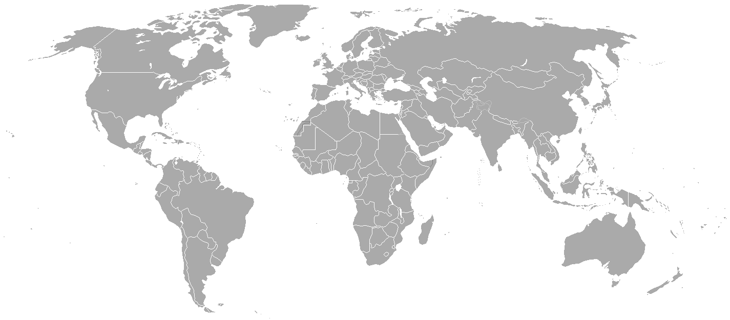
Blank political map of the world showing 2005 borders (i.e. before the independence of Montenegro and Kosovo). Based on Image:BlankMap-World.png; as it is PD, this is too.
This map is accurate for the period between May 20, 2002 (East Timor independent from Indonesia), and June 3, 2006 (Montenegro independent from Serbia and Montenegro) — notwithstanding the renaming of Yugoslavia to Serbia and Montenegro on February 3, 2003.
Previous map: Image:BlankMap-World-2000.png
| Blank maps of the world for historical use | |
| pre-1800 | |
|
19th century | |
|
20th century | |
|
1902 · 1912 · 1914 · WWI · Aug 1918 · 1920 · 1921 · 1924 · 1926 · 1935 · 1937 · Mar 1938 · Oct 1938 · Mar 1939 · Oct 1939 · WWII · Nov 1942 · May 1945 · 1957 · 1959 · 1962 · 1968 · 1970 · 1985 · 1990 · 1993 | |
|
21st century | |
| (this template: · view · discuss ) | |
.PNG)
| Public domainPublic domainfalsefalse |
| ئەم بەرھەمە بەدەستی بەرھەمھێنەرەکەی Hoshie، بڵاوکراوەتەوە بۆ پاوانی گشتی (public domain). ئەم مافە بۆ سەرانسەری جیھانە. لە ھەندێ وڵاتدا لەوانەیە یاسا، ڕێگە بەمە نەدات؛ لەو کاتەدا: |
derivative works
Derivative works of this file:
لێدوانەکان
بەندەکانی لەم پەڕگەیەدا دەردەکەون
depicts ئینگلیزی
media type ئینگلیزی
image/png
checksum ئینگلیزی
c54a0193133ed2eabc4ca1eaf52fbaa8879a5f34
data size ئینگلیزی
١٨٬١٤١ بایت
٦٢٥ پیکسڵ
width ئینگلیزی
١٬٤٢٥ پیکسڵ
مێژووی پەڕگە
کرتە بکە لەسەر یەکێک لە ڕێکەوت/کاتەکان بۆ بینینی پەڕگەکە بەو شێوەی لەو کاتەدا بووە.
| ڕێکەوت/کات | ھێما | ئەندازە | بەکارھێنەر | تێبینی | |
|---|---|---|---|---|---|
| هەنووکە | ٢١:٣٥، ١٥ی ئایاری ٢٠١٥ | | ١٬٤٢٥ لە ٦٢٥ (١٨ کیلۆبایت) | RokerHRO | optipng -o7 -i0 → 68.85% decrease |
| ٢٢:٣٨، ٣٠ی ئازاری ٢٠١٠ |  | ١٬٤٢٥ لە ٦٢٥ (٥٧ کیلۆبایت) | Spesh531 | changes the same as modern one | |
| ٠٢:٢٧، ١٢ی نیسانی ٢٠٠٨ |  | ١٬٤٢٥ لە ٦٢٥ (٤٩ کیلۆبایت) | Hoshie | Blank map of the world showing 2005 borders (i.e. before the independence of Montenegro and Kosovo). Based off Image:BlankMap-World.png; as it is PD, this is too. This map is accurite for the period between May 20, 2002 (East Timor independent from |
بەکارھێنانی پەڕگە
ھیچ پەڕەیەک نییە کە ئەم پەڕگەیە بەکاربھێنێت.
بەکارھێنانی سەرانسەریی پەڕگە
ئەم ویکیانەی دیکەی خوارەوەش ئەم پەڕگە بەکاردێنن:
- بەکارھێنان لە fr.wikipedia.org
دراوی مێتا
ئەم پەڕگە زانیاری زێدەی ھەیە، کە لەوە دەچێت کامێرا یان ھێماگر (scanner) خستبێتیە سەری. ئەگەر پەڕگەکە لە حاڵەتی سەرەتاییەکەیەوە دەستکاری کرابێ، شایەد بڕێ لە بڕگەکان بە تەواوی زانیارەکانی وێنە گۆڕدراوەکە نیشان نەدەن.
| شێوازی ئاسۆیی | ٣٧٫٧٨ dpc |
|---|---|
| شێوازی ستوونی | ٣٧٫٧٨ dpc |