Payl:Stirling_UK_relief_location_map.jpg
From Wikipedia, the free encyclopedia
Gidak-on ning maong paunang tan-aw: 583 x 600 ka mga piksel. Uban pang mga resoluyon: 233 x 240 ka mga piksel | 467 x 480 ka mga piksel | 747 x 768 ka mga piksel | 996 x 1,024 ka mga piksel | 2,002 x 2,059 ka mga piksel.
Tibuok resolusyon (2,002 × 2,059 pixels, size sa payl: 675 KB, MIME type: image/jpeg)
Kining maong payl gikan sa Wikimedia Commons ug mahimong gigamit sa ubang proyekto. Ang deskripsyon niini didto gipakita sa ubos.
| DeskripsyonStirling UK relief location map.jpg |
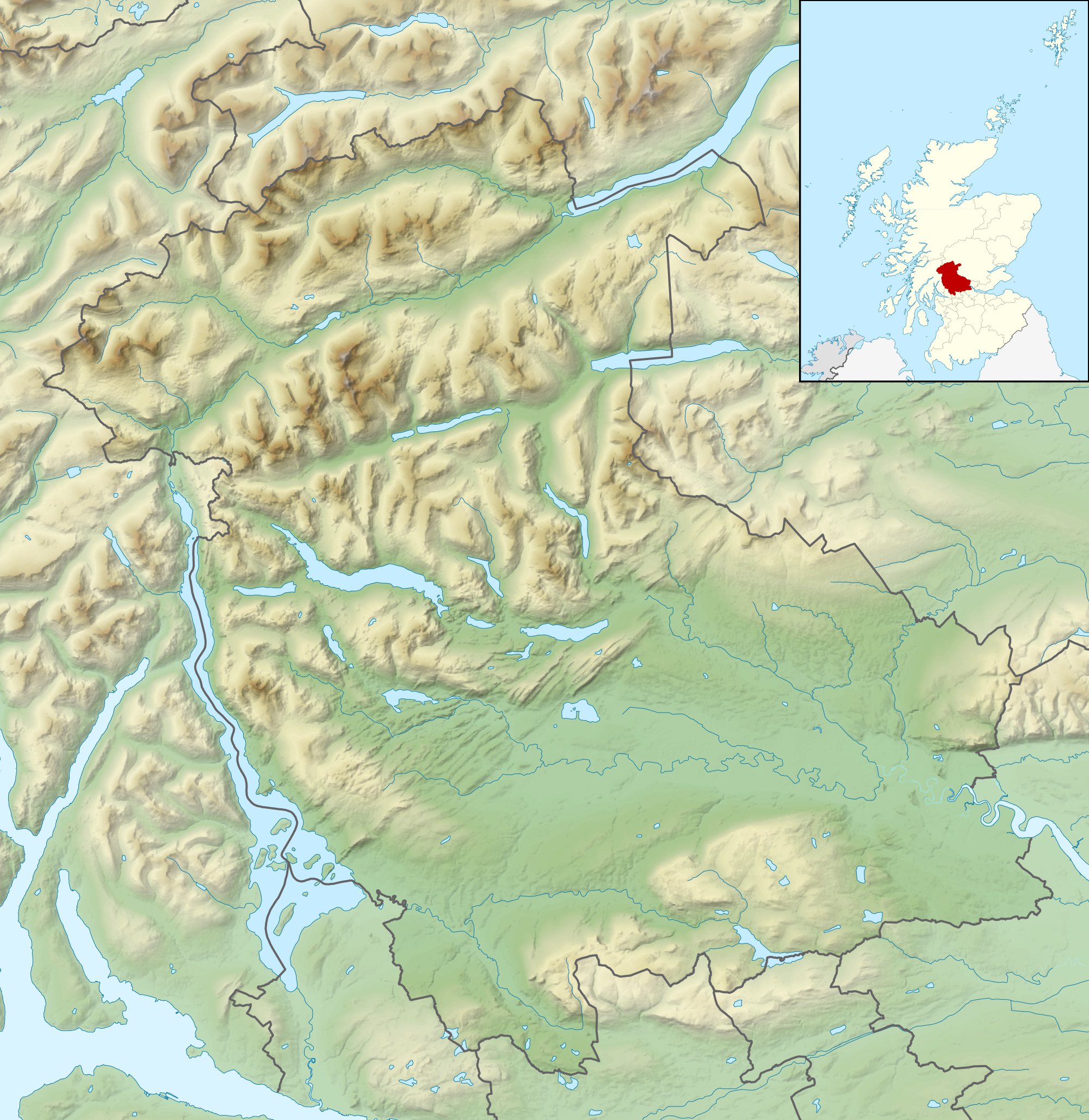
Relief map of Stirling, UK. Equirectangular map projection on WGS 84 datum, with N/S stretched 175% Geographic limits:
|
| Petsa | |
| Gigikanan |
|
| Tagsulat | Nilfanion, created using Ordnance Survey data |
| Pagtugot (Paggamit pag-usab niini nga file) |
This file is licensed under the Creative Commons Attribution-Share Alike 3.0 Unported license. Attribution: Contains Ordnance Survey data © Crown copyright and database right
|
| Other versions | File:Stirling UK blank map.svg - Blank map |
Captions
Add a one-line explanation of what this file represents
Items portrayed in this file
depicts English
copyright status English
copyrighted English
30 Nobiyembre 2010
Kaagi sa payl
I-klik ang petsa/oras aron makit-an ang hulagway sa payl niadtong panahona.
| Petsa/Takna | Thumbnail | Mga dimensyon | Tiggamit | Komento | |
|---|---|---|---|---|---|
| kasamtangan | 12:31, 30 Nobiyembre 2011 | | 2,002 × 2,059 (675 KB) | Nilfanion | {{Information |Description=Relief map of Stirling, UK. Equirectangular map projection on WGS 84 datum, with N/S stretched 175% Geographic limits: *West: 4.90W *East: 3.76W *North: 56.60N *South: 55.93N |Source=[[w:Ordnance Survey|Ordnance |
Mga paggamit sa payl
Ang mosunod nga mga panid misumpay niining payl:
Global nga paggamit sa payl
Kining ubang wiki naggamit ning maong payl:
- Paggamit sa ar.wikipedia.org
- Paggamit sa bg.wikipedia.org
- Paggamit sa de.wikipedia.org
- Ben Lomond (Schottland)
- Stirling Castle
- Loch Katrine
- Dumyat
- Doune Castle
- Ben Ledi
- Loch Achray
- Loch Ard
- Loch Chon
- Loch Drunkie
- Vorlage:Positionskarte Schottland Stirling
- Culcreuch Castle
- Loch Venachar
- Falls of Dochart
- Castle Menzies
- Lake of Menteith
- Inchbuie
- Inchcailloch
- Loch Lubnaig
- Loch Voil
- Ben Vorlich (Loch Earn)
- Stùc a’ Chroin
- Ben More (Crianlarich)
- Stob Binnein
- Cruach Ardrain
- Beinn Tulaichean
- An Caisteal
- Beinn a’ Chroin
- Beinn Chabhair
- Ben Oss
- Beinn Dubhchraig
- Ben Challum
- Meall Glas
- Sgiath Chùil
- Falls of Falloch
- Mugdock Castle
- Plean Castle
- Loch Arklet
- Dubh Lochan
- Falls of Lochay
- Loch Letter
- Paggamit sa en.wikipedia.org
View more global usage of this file.
Gikuha gikan sa "https://ceb.wikipedia.org/wiki/Payl:Stirling_UK_relief_location_map.jpg"