Payl:Midlothian_UK_relief_location_map.jpg
From Wikipedia, the free encyclopedia
Gidak-on ning maong paunang tan-aw: 651 x 599 ka mga piksel. Uban pang mga resoluyon: 261 x 240 ka mga piksel | 521 x 480 ka mga piksel | 834 x 768 ka mga piksel | 1,112 x 1,024 ka mga piksel | 2,005 x 1,846 ka mga piksel.
Tibuok resolusyon (2,005 × 1,846 pixels, size sa payl: 329 KB, MIME type: image/jpeg)
Kining maong payl gikan sa Wikimedia Commons ug mahimong gigamit sa ubang proyekto. Ang deskripsyon niini didto gipakita sa ubos.
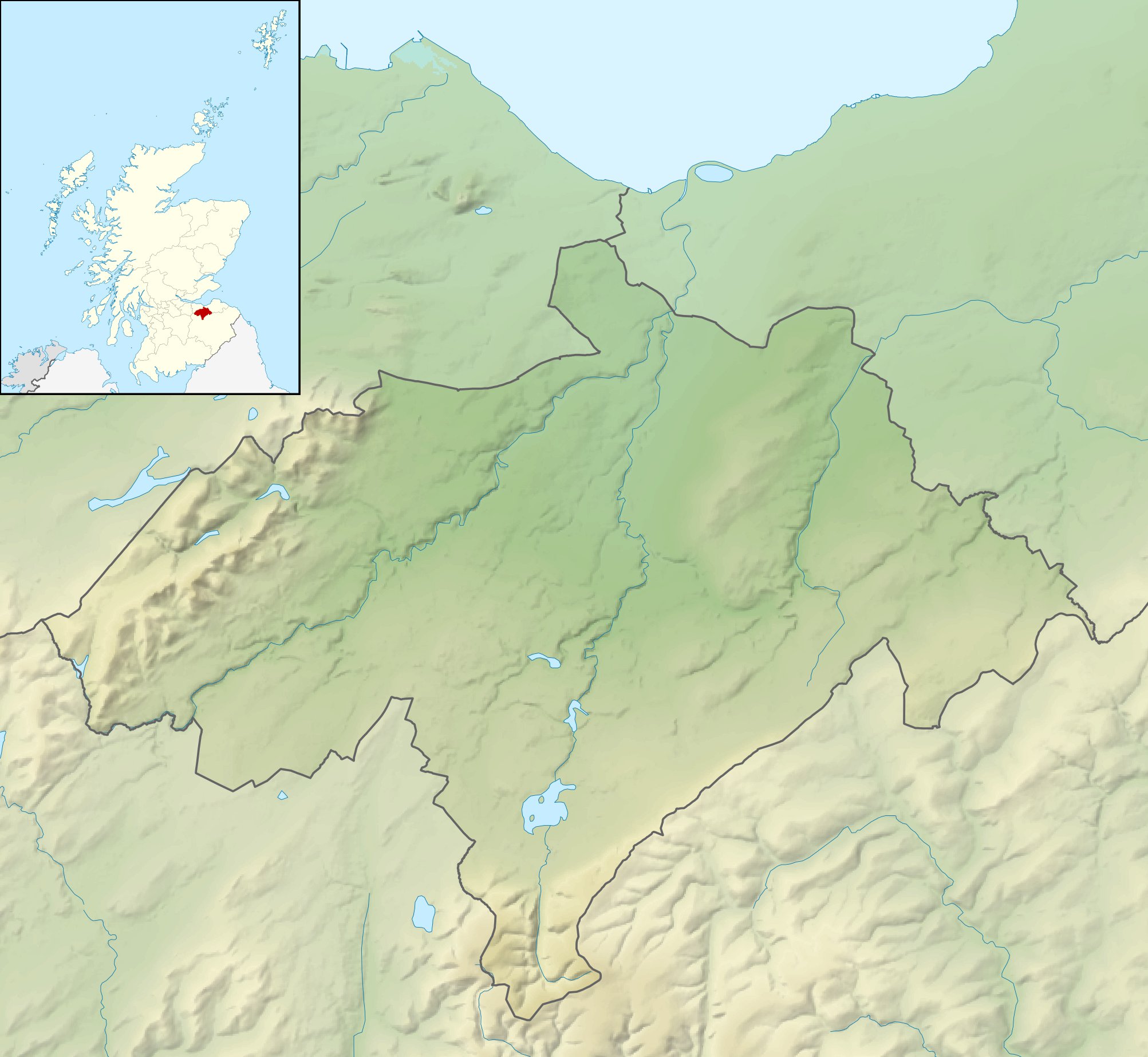
| DeskripsyonMidlothian UK relief location map.jpg |
Relief map of Midlothian, UK. Equirectangular map projection on WGS 84 datum, with N/S stretched 175% Geographic limits:
|
| Petsa | |
| Gigikanan |
|
| Tagsulat | Nilfanion, created using Ordnance Survey data |
| Pagtugot (Paggamit pag-usab niini nga file) |
This file is licensed under the Creative Commons Attribution-Share Alike 3.0 Unported license. Attribution: Contains Ordnance Survey data © Crown copyright and database right
|
| Other versions | File:Midlothian UK blank map.svg - Blank map |
Captions
Add a one-line explanation of what this file represents
Items portrayed in this file
depicts English
copyright status English
copyrighted English
30 Nobiyembre 2010
Kaagi sa payl
I-klik ang petsa/oras aron makit-an ang hulagway sa payl niadtong panahona.
| Petsa/Takna | Thumbnail | Mga dimensyon | Tiggamit | Komento | |
|---|---|---|---|---|---|
| kasamtangan | 12:23, 30 Nobiyembre 2011 | | 2,005 × 1,846 (329 KB) | Nilfanion | {{Information |Description=Relief map of Midlothian, UK. Equirectangular map projection on WGS 84 datum, with N/S stretched 175% Geographic limits: *West: 3.39W *East: 2.82W *North: 56.00N *South: 55.70N |Source=[[w:Ordnance Survey|Ordn |
Mga paggamit sa payl
Ang mosunod nga mga panid misumpay niining payl:
Global nga paggamit sa payl
Kining ubang wiki naggamit ning maong payl:
- Paggamit sa ar.wikipedia.org
- Paggamit sa bg.wikipedia.org
- Paggamit sa de.wikipedia.org
- Roslin Castle
- North Esk Reservoir
- Gladhouse Reservoir
- Cock Rig
- Spittal Hill
- Green Law (Pentland Hills)
- Cap Law
- Braid Law
- West Kip
- Hare Hill
- East Kip
- South Black Hill
- Scald Law
- Carnethy Hill
- Turnhouse Hill
- Black Hill (Pentland Hills)
- Bell’s Hill
- Harbour Hill
- Woodhouselee Hill
- Castlelaw Hill
- Patie’s Hill
- Vorlage:Positionskarte Schottland Midlothian
- Loganlea Reservoir
- Glencorse Reservoir
- Hog Hill (Midlothian)
- The Kipps
- Edgelaw Reservoir
- Paggamit sa en.wikipedia.org
- Paggamit sa fr.wikipedia.org
- Paggamit sa ja.wikipedia.org
- Paggamit sa kn.wikipedia.org
- Paggamit sa nl.wikipedia.org
- Paggamit sa pl.wikipedia.org
View more global usage of this file.