Payl:Caldwell_County_Missouri_Courthouse_20191027-7106.jpg
From Wikipedia, the free encyclopedia
Tibuok resolusyon (3,656 × 2,367 pixels, size sa payl: 5.37 MB, MIME type: image/jpeg)
Kining maong payl gikan sa Wikimedia Commons ug mahimong gigamit sa ubang proyekto. Ang deskripsyon niini didto gipakita sa ubos.
Mubong sugid:
| DeskripsyonCaldwell County Missouri Courthouse 20191027-7106.jpg | |
| Petsa | |
| Gigikanan | Kaugalingong trabaho |
| Tagsulat | Kbh3rd |
| Camera location | 39° 38′ 34.39″ N, 94° 02′ 16.91″ W | View this and other nearby images on: OpenStreetMap |
|---|
|
This is an image of a place or building that is listed on the National Register of Historic Places in the United States of America. Its reference number is 72000707. |
Pagtugot
- Libre ka:
- sa pagsabwag – sa pagkopya, pag-apod-apod ug pagsabwag sa hinimo
- sa pag-remix – sa pag-adap sa binuhat
- Ubos sa mosunod nga mga kondisyon:
- atribusyon – Kinahanglan nimo nga hatagan ang angay nga kredito, maghatag usa ka link sa lisensya, ug ipakita kung adunay mga pagbag-o. Mahimo nimo kini buhaton sa bisan unsang makatarunganon nga paagi, apan dili sa bisan unsang paagi nga nagsugyot nga gi-endorso ka sa licensor o ang imong paggamit.
Captions
Items portrayed in this file
depicts English
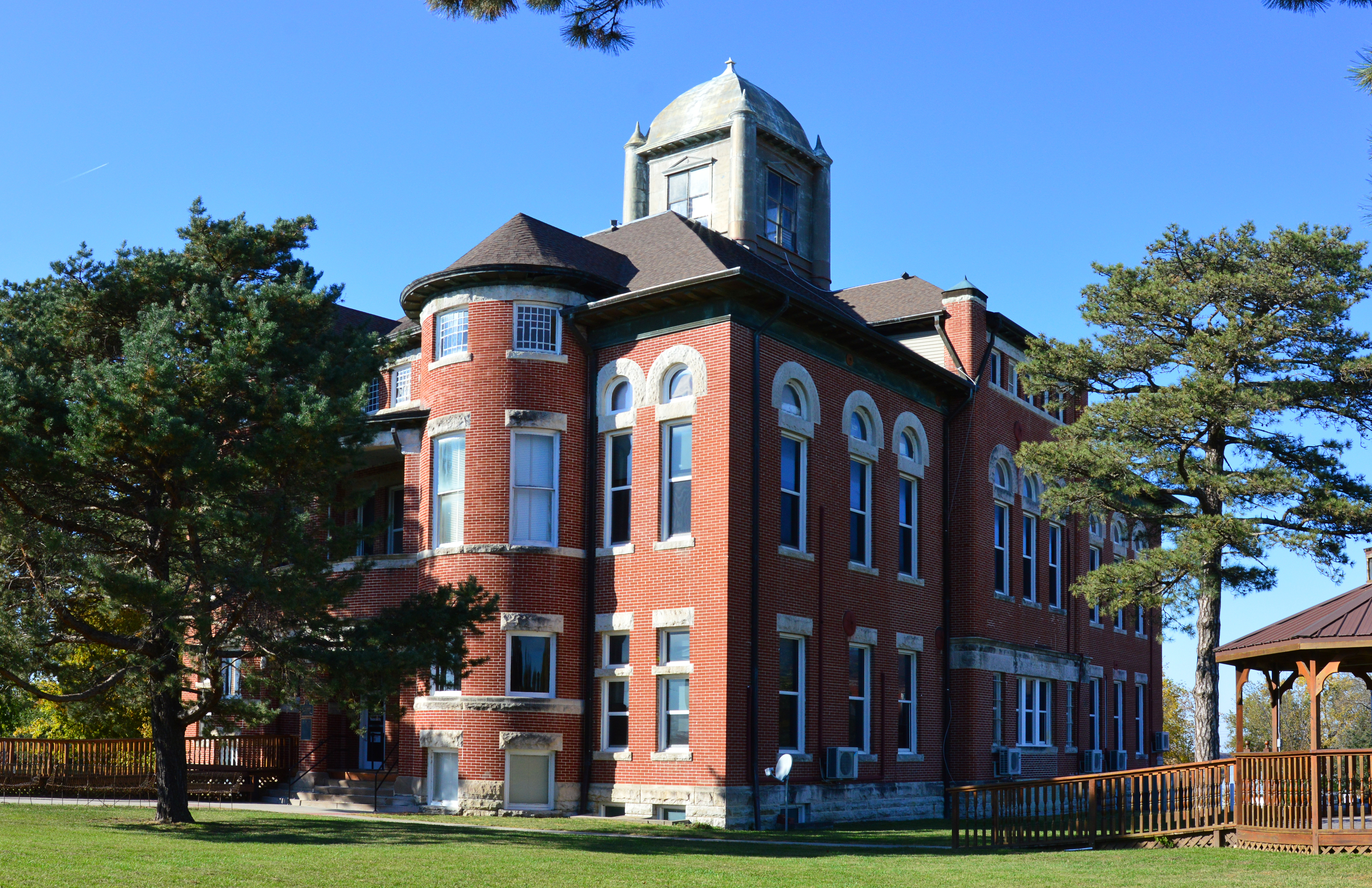
Caldwell County Courthouse English
creator English
some value
copyright status English
copyrighted English
copyright license English
27 Oktubre 2019
source of file English
original creation by uploader English
coordinates of the point of view English
39°38'34.390"N, 94°2'16.912"W
location of creation English
captured with English
Nikon D3200 English
exposure time English
0.005 second
f-number English
11
focal length English
20 millimetre
ISO speed English
400
media type English
image/jpeg
instance of English
checksum English
b66f0a3a0cd816e1367d81743ff351ab82101f8a
data size English
5,629,212 byte
height English
2,367 pixel
width English
3,656 pixel
Kaagi sa payl
I-klik ang petsa/oras aron makit-an ang hulagway sa payl niadtong panahona.
| Petsa/Takna | Thumbnail | Mga dimensyon | Tiggamit | Komento | |
|---|---|---|---|---|---|
| kasamtangan | 06:17, 29 Oktubre 2019 | | 3,656 × 2,367 (5.37 MB) | Kbh3rd | User created page with UploadWizard |
Mga paggamit sa payl
Ang mosunod nga mga panid misumpay niining payl:
Global nga paggamit sa payl
Kining ubang wiki naggamit ning maong payl:
- Paggamit sa ar.wikipedia.org
- Paggamit sa arz.wikipedia.org
- Paggamit sa ca.wikipedia.org
- Paggamit sa ce.wikipedia.org
- Paggamit sa cy.wikipedia.org
- Paggamit sa de.wikipedia.org
- Paggamit sa en.wikipedia.org
- Paggamit sa es.wikipedia.org
- Paggamit sa eu.wikipedia.org
- Paggamit sa fr.wikipedia.org
- Paggamit sa ht.wikipedia.org
- Paggamit sa hu.wikipedia.org
- Paggamit sa it.wikipedia.org
- Paggamit sa ko.wikipedia.org
- Paggamit sa lld.wikipedia.org
- Paggamit sa pl.wikipedia.org
- Paggamit sa pt.wikipedia.org
- Paggamit sa sr.wikipedia.org
- Paggamit sa tr.wikipedia.org
- Paggamit sa tt.wikipedia.org
- Paggamit sa uk.wikipedia.org
- Paggamit sa uz.wikipedia.org
- Paggamit sa www.wikidata.org
Metadata
Ang kining payl adunay dugang nga impormasyon, mahimong nadugang gikan sa digital camera o scanner nga gigamit sa paghimo o pag-digitize niini.
Kon ang payl namodipikar gikan sa orihinal nga estado, ang ubang detalye mamahimong dili moreplek sa namodipikar nga payl.
| Camera manufacturer | NIKON CORPORATION |
|---|---|
| Camera model | NIKON D3200 |
| Exposure time | 1/200 sec (0.005) |
| F Number | f/11 |
| ISO speed rating | 400 |
| Date and time of data generation | 20:34, 27 Oktubre 2019 |
| Lens focal length | 20 mm |
| Latitude | 39° 38′ 34.39″ N |
| Longitude | 94° 2′ 16.91″ W |
| Altitude | 277 meters above sea level |
| City shown | Kingston |
| Credit/Provider | Wikimedia Commons by Kbh3rd |
| Copyright holder | https://en.wikipedia.org/wiki/User:Kbh3rd |
| Image title | Caldwell County, Missouri, courthouse in Kingston |
| Orientation | Normal |
| Horizontal resolution | 300 dpi |
| Vertical resolution | 300 dpi |
| Software used | Ver.1.04 |
| File change date and time | 20:34, 27 Oktubre 2019 |
| Y and C positioning | Co-sited |
| Exposure Program | Aperture priority |
| Exif version | 2.3 |
| Date and time of digitizing | 20:34, 27 Oktubre 2019 |
| Meaning of each component |
|
| Image compression mode | 4 |
| APEX exposure bias | 0 |
| Maximum land aperture | 1.6 APEX (f/1.74) |
| Metering mode | Pattern |
| Light source | Unknown |
| Flash | Flash did not fire |
| DateTime subseconds | 00 |
| DateTimeOriginal subseconds | 00 |
| DateTimeDigitized subseconds | 00 |
| Supported Flashpix version | 1 |
| Color space | sRGB |
| Sensing method | One-chip color area sensor |
| File source | Digital still camera |
| Scene type | A directly photographed image |
| Custom image processing | Normal process |
| Exposure mode | Auto exposure |
| White balance | Auto white balance |
| Digital zoom ratio | 1 |
| Focal length in 35 mm film | 30 mm |
| Scene capture type | Standard |
| Scene control | Low gain up |
| Contrast | Normal |
| Saturation | Normal |
| Sharpness | Normal |
| Subject distance range | Unknown |
| GPS time (atomic clock) | 20:34 |
| Reference for direction of image | True direction |
| Direction of image | 0 |
| Geodetic survey data used | WGS-84 |
| GPS date | 27 Oktubre 2019 |
| GPS tag version | 2.3.0.0 |
| Special instructions | Lat 39.6428861111111, Lon -94.0380305555556 - Bearing: 0 - Altitude: 277m |
| IIM version | 4 |
| Sublocation of city shown | 49 East Main Street |
| Province or state shown | Missouri |
| Country shown | US |