Payl:CZE_Lučina_Obecní_úřad.jpg
From Wikipedia, the free encyclopedia
Gidak-on ning maong paunang tan-aw: 800 x 600 ka mga piksel. Uban pang mga resoluyon: 320 x 240 ka mga piksel | 640 x 480 ka mga piksel | 1,024 x 768 ka mga piksel | 1,280 x 960 ka mga piksel | 2,560 x 1,920 ka mga piksel | 3,500 x 2,625 ka mga piksel.
Tibuok resolusyon (3,500 × 2,625 pixels, size sa payl: 2.9 MB, MIME type: image/jpeg)
Kining maong payl gikan sa Wikimedia Commons ug mahimong gigamit sa ubang proyekto. Ang deskripsyon niini didto gipakita sa ubos.
Mubong sugid:
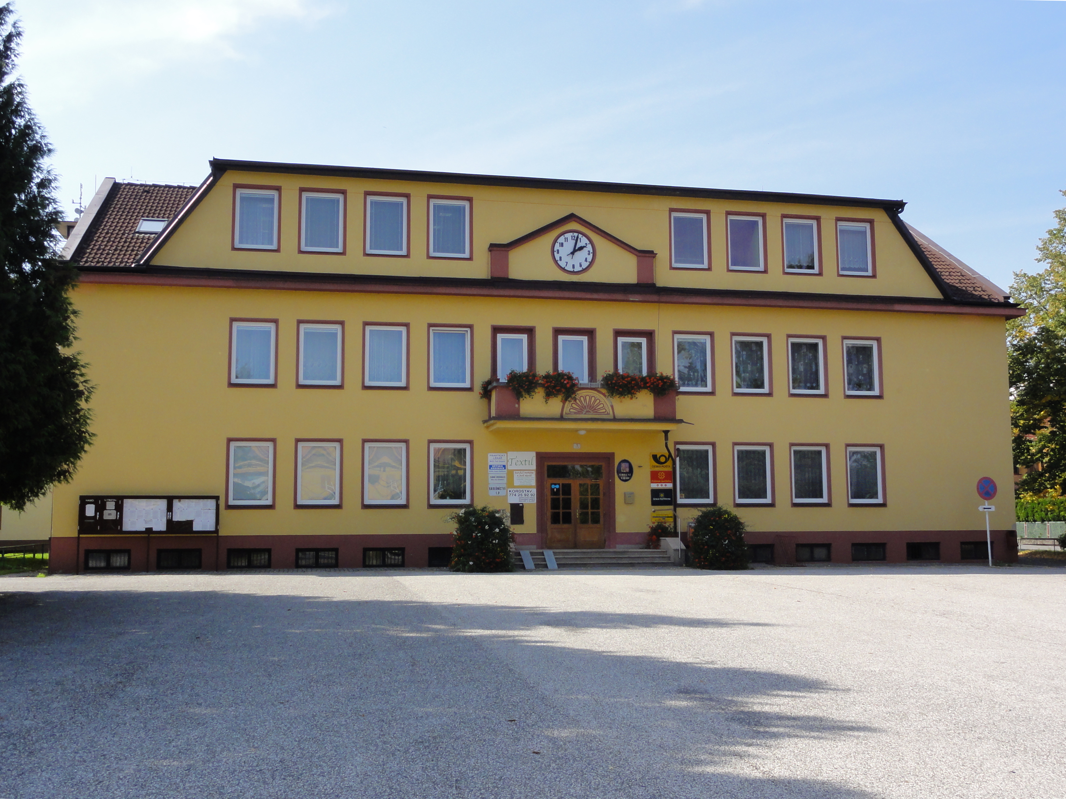
| DeskripsyonCZE Lučina Obecní úřad.jpg |
Polski: Urząd Gminy w Łucynie Čeština: Lučina - obecní úřad |
| Petsa | |
| Gigikanan | Kaugalingong trabaho |
| Tagsulat | D T G |
| Camera location | 49° 42′ 57.3″ N, 18° 26′ 57″ E | View this and other nearby images on: OpenStreetMap |
|---|
Pagtugot
I, the copyright holder of this work, hereby publish it under the following license:
This file is licensed under the Creative Commons Attribution-Share Alike 4.0 International license.
- Libre ka:
- sa pagsabwag – sa pagkopya, pag-apod-apod ug pagsabwag sa hinimo
- sa pag-remix – sa pag-adap sa binuhat
- Ubos sa mosunod nga mga kondisyon:
- atribusyon – Kinahanglan nimo nga hatagan ang angay nga kredito, maghatag usa ka link sa lisensya, ug ipakita kung adunay mga pagbag-o. Mahimo nimo kini buhaton sa bisan unsang makatarunganon nga paagi, apan dili sa bisan unsang paagi nga nagsugyot nga gi-endorso ka sa licensor o ang imong paggamit.
- share parehas – Kung imong gi-remix, gibag-o, o gibase sa materyal, kinahanglan nimo nga iapod-apod ang imong mga kontribusyon sa ilawom sa parehas o katugma nga lisensya sama sa orihinal.
Captions
Add a one-line explanation of what this file represents
Items portrayed in this file
depicts English
creator English
some value
copyright status English
copyrighted English
7 Septiyembre 2014
source of file English
original creation by uploader English
coordinates of the point of view English
49°42'57.305000002"N, 18°26'57.005999999"E
captured with English
Sony Cyber-shot DSC-HX5V English
media type English
image/jpeg
checksum English
82c2ebf6d5be09b6e3024adaa443718151fe409f
data size English
3,045,349 byte
height English
2,625 pixel
width English
3,500 pixel
ISO speed English
125
exposure time English
0.00625 second
f-number English
9
focal length English
6.06 millimetre
Kaagi sa payl
I-klik ang petsa/oras aron makit-an ang hulagway sa payl niadtong panahona.
| Petsa/Takna | Thumbnail | Mga dimensyon | Tiggamit | Komento | |
|---|---|---|---|---|---|
| kasamtangan | 08:07, 9 Septiyembre 2014 | | 3,500 × 2,625 (2.9 MB) | D T G | User created page with UploadWizard |
Mga paggamit sa payl
Ang mosunod nga mga panid misumpay niining payl:
Global nga paggamit sa payl
Kining ubang wiki naggamit ning maong payl:
- Paggamit sa azb.wikipedia.org
- Paggamit sa ce.wikipedia.org
- Paggamit sa cs.wikipedia.org
- Paggamit sa en.wikipedia.org
- Paggamit sa eo.wikipedia.org
- Paggamit sa eu.wikipedia.org
- Paggamit sa fa.wikipedia.org
- Paggamit sa fr.wikipedia.org
- Paggamit sa hu.wikipedia.org
- Paggamit sa lmo.wikipedia.org
- Paggamit sa pl.wikipedia.org
- Paggamit sa pt.wikipedia.org
- Paggamit sa sk.wikipedia.org
- Paggamit sa sr.wikipedia.org
- Paggamit sa sv.wikipedia.org
- Paggamit sa tt.wikipedia.org
- Paggamit sa vi.wikipedia.org
- Paggamit sa www.wikidata.org
- Paggamit sa zh-min-nan.wikipedia.org
Metadata
Ang kining payl adunay dugang nga impormasyon, mahimong nadugang gikan sa digital camera o scanner nga gigamit sa paghimo o pag-digitize niini.
Kon ang payl namodipikar gikan sa orihinal nga estado, ang ubang detalye mamahimong dili moreplek sa namodipikar nga payl.
| Camera manufacturer | SONY |
|---|---|
| Camera model | DSC-HX5V |
| Exposure time | 1/160 sec (0.00625) |
| F Number | f/9 |
| ISO speed rating | 125 |
| Date and time of data generation | 14:07, 7 Septiyembre 2014 |
| Lens focal length | 6.06 mm |
| Latitude | 49° 42′ 57.3″ N |
| Longitude | 18° 26′ 57.01″ E |
| Altitude | 337.8 meters above sea level |
| Orientation | Normal |
| Horizontal resolution | 72 dpi |
| Vertical resolution | 72 dpi |
| File change date and time | 10:01, 9 Septiyembre 2014 |
| Y and C positioning | Co-sited |
| Exposure Program | Normal program |
| Exif version | 2.21 |
| Date and time of digitizing | 14:07, 7 Septiyembre 2014 |
| Meaning of each component |
|
| Image compression mode | 4 |
| APEX exposure bias | 0 |
| Maximum land aperture | 3.625 APEX (f/3.51) |
| Metering mode | Pattern |
| Light source | Unknown |
| Flash | Flash did not fire, compulsory flash suppression |
| Supported Flashpix version | 1 |
| Color space | sRGB |
| File source | Digital still camera |
| Scene type | A directly photographed image |
| Custom image processing | Normal process |
| Exposure mode | Auto exposure |
| White balance | Auto white balance |
| Scene capture type | Landscape |
| Contrast | Normal |
| Saturation | Normal |
| Sharpness | Normal |
| GPS time (atomic clock) | 12:07 |
| Receiver status | Measurement in progress |
| Measurement mode | 3-dimensional measurement |
| Speed unit | Kilometers per hour |
| Speed of GPS receiver | 0.1 |
| Reference for direction of movement | True direction |
| Direction of movement | 277.75 |
| Reference for direction of image | Magnetic direction |
| Direction of image | 263.75 |
| Geodetic survey data used | WGS-84 |
| GPS date | 7 Septiyembre 2014 |
| GPS differential correction | 0 |
| GPS tag version | 0.0.2.2 |
| Image width | 3,648 px |
| Image height | 2,736 px |
Gikuha gikan sa "https://ceb.wikipedia.org/wiki/Payl:CZE_Lučina_Obecní_úřad.jpg"