Payl:Bdg_nabrzezepldBrdy_12_07-2013.jpg
From Wikipedia, the free encyclopedia
Tibuok resolusyon (1,365 × 1,024 pixels, size sa payl: 469 KB, MIME type: image/jpeg)
Kining maong payl gikan sa Wikimedia Commons ug mahimong gigamit sa ubang proyekto. Ang deskripsyon niini didto gipakita sa ubos.
Mubong sugid:
| DeskripsyonBdg nabrzezepldBrdy 12 07-2013.jpg |
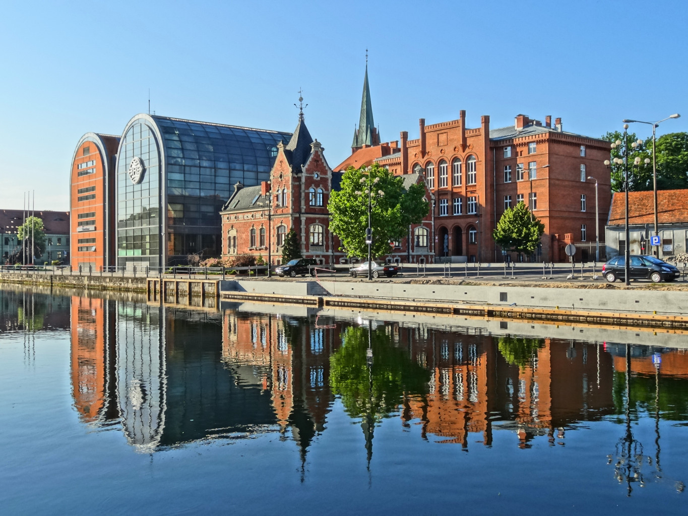
Polski: Południowe nabrzeże Brdy w centrum Bydgoszczy |
| Petsa | |
| Gigikanan | Kaugalingong trabaho |
| Tagsulat | Pit1233 |
| Camera location | 53° 07′ 23.81″ N, 18° 00′ 08.69″ E | View this and other nearby images on: OpenStreetMap |
|---|
Pagtugot
| This file is made available under the Creative Commons CC0 1.0 Universal Public Domain Dedication. | |
| The person who associated a work with this deed has dedicated the work to the public domain by waiving all of their rights to the work worldwide under copyright law, including all related and neighboring rights, to the extent allowed by law. You can copy, modify, distribute and perform the work, even for commercial purposes, all without asking permission.
http://creativecommons.org/publicdomain/zero/1.0/deed.enCC0Creative Commons Zero, Public Domain Dedicationfalsefalse |
Captions
Items portrayed in this file
depicts English
creator English
some value
copyright status English
copyrighted English
copyright license English
Creative Commons CC0 License English
15 Hunyo 2013
coordinates of the point of view English
53°7'23.808"N, 18°0'8.694"E
source of file English
original creation by uploader English
captured with English
Sony Cyber-shot DSC-HX20V English
media type English
image/jpeg
checksum English
785f541520b3042f24cdcfb22109a82969aad012
data size English
480,494 byte
height English
1,024 pixel
width English
1,365 pixel
Kaagi sa payl
I-klik ang petsa/oras aron makit-an ang hulagway sa payl niadtong panahona.
| Petsa/Takna | Thumbnail | Mga dimensyon | Tiggamit | Komento | |
|---|---|---|---|---|---|
| kasamtangan | 11:33, 29 Nobiyembre 2013 | | 1,365 × 1,024 (469 KB) | Pit1233 | User created page with UploadWizard |
Mga paggamit sa payl
Ang mosunod nga mga panid misumpay niining payl:
Global nga paggamit sa payl
Kining ubang wiki naggamit ning maong payl:
- Paggamit sa ar.wikipedia.org
- Paggamit sa arz.wikipedia.org
- Paggamit sa ast.wikipedia.org
- Paggamit sa ca.wikipedia.org
- Paggamit sa crh.wikipedia.org
- Paggamit sa de.wikivoyage.org
- Paggamit sa el.wiktionary.org
- Paggamit sa en.wikipedia.org
- Paggamit sa en.wikivoyage.org
- Paggamit sa eo.wikipedia.org
- Paggamit sa es.wikipedia.org
- Paggamit sa et.wikipedia.org
- Paggamit sa eu.wikipedia.org
- Paggamit sa fr.wikipedia.org
- Paggamit sa gl.wikipedia.org
- Paggamit sa hy.wikipedia.org
- Paggamit sa mk.wikipedia.org
- Paggamit sa no.wikipedia.org
- Paggamit sa os.wikipedia.org
- Paggamit sa ru.wikipedia.org
- Paggamit sa ru.wikinews.org
- Paggamit sa sr.wikipedia.org
- Paggamit sa tg.wikipedia.org
- Paggamit sa tt.wikipedia.org
- Paggamit sa ur.wikipedia.org
- Paggamit sa vec.wikipedia.org
- Paggamit sa vo.wikipedia.org
- Paggamit sa www.wikidata.org
Metadata
Ang kining payl adunay dugang nga impormasyon, mahimong nadugang gikan sa digital camera o scanner nga gigamit sa paghimo o pag-digitize niini.
Kon ang payl namodipikar gikan sa orihinal nga estado, ang ubang detalye mamahimong dili moreplek sa namodipikar nga payl.
| Camera manufacturer | SONY |
|---|---|
| Camera model | DSC-HX20V |
| Exposure time | 1/125 sec (0.008) |
| F Number | f/9 |
| ISO speed rating | 125 |
| Date and time of data generation | 07:08, 15 Hunyo 2013 |
| Lens focal length | 6.68 mm |
| Latitude | 53° 7′ 23.81″ N |
| Longitude | 18° 0′ 8.69″ E |
| Altitude | 29.6 meters above sea level |
| Orientation | Normal |
| Horizontal resolution | 350 dpi |
| Vertical resolution | 350 dpi |
| Software used | PictureProject 1.7.5 W |
| File change date and time | 09:34, 9 Oktubre 2013 |
| Y and C positioning | Centered |
| Exposure Program | Normal program |
| Exif version | 2.3 |
| Date and time of digitizing | 07:08, 15 Hunyo 2013 |
| Meaning of each component |
|
| APEX brightness | 9.1890625 |
| APEX exposure bias | 0 |
| Maximum land aperture | 3.6171875 APEX (f/3.5) |
| Metering mode | Pattern |
| Light source | Unknown |
| Flash | Flash did not fire, compulsory flash suppression |
| Supported Flashpix version | 1 |
| Color space | sRGB |
| File source | Digital still camera |
| Scene type | A directly photographed image |
| Custom image processing | Normal process |
| Exposure mode | Auto exposure |
| White balance | Auto white balance |
| Digital zoom ratio | 1 |
| Scene capture type | Standard |
| Contrast | Normal |
| Saturation | Normal |
| Sharpness | Normal |
| GPS time (atomic clock) | 05:08 |
| Receiver status | Measurement in progress |
| Measurement mode | 3-dimensional measurement |
| Measurement precision | Poor (1.16) |
| Speed unit | Kilometers per hour |
| Speed of GPS receiver | 0.216 |
| Reference for direction of movement | True direction |
| Direction of movement | 271.57 |
| Reference for direction of image | Magnetic direction |
| Direction of image | 12 |
| Geodetic survey data used | WGS-84 |
| GPS date | 15 Hunyo 2013 |
| GPS tag version | 0.0.3.2 |