File:Western_Europe_World_Heritage_Sites.png
From Wikipedia, the free encyclopedia
Mida d'aquesta previsualització: 800 × 589 píxels. Altres resolucions: 320 × 236 píxels | 640 × 471 píxels | 1.024 × 754 píxels | 1.130 × 832 píxels.
Fitxer original (1.130 × 832 píxels, mida del fitxer: 174 Ko, tipus MIME: image/png)
| Aquest fitxer i la informació mostrada a continuació provenen del dipòsit multimèdia lliure Wikimedia Commons. |
Resum
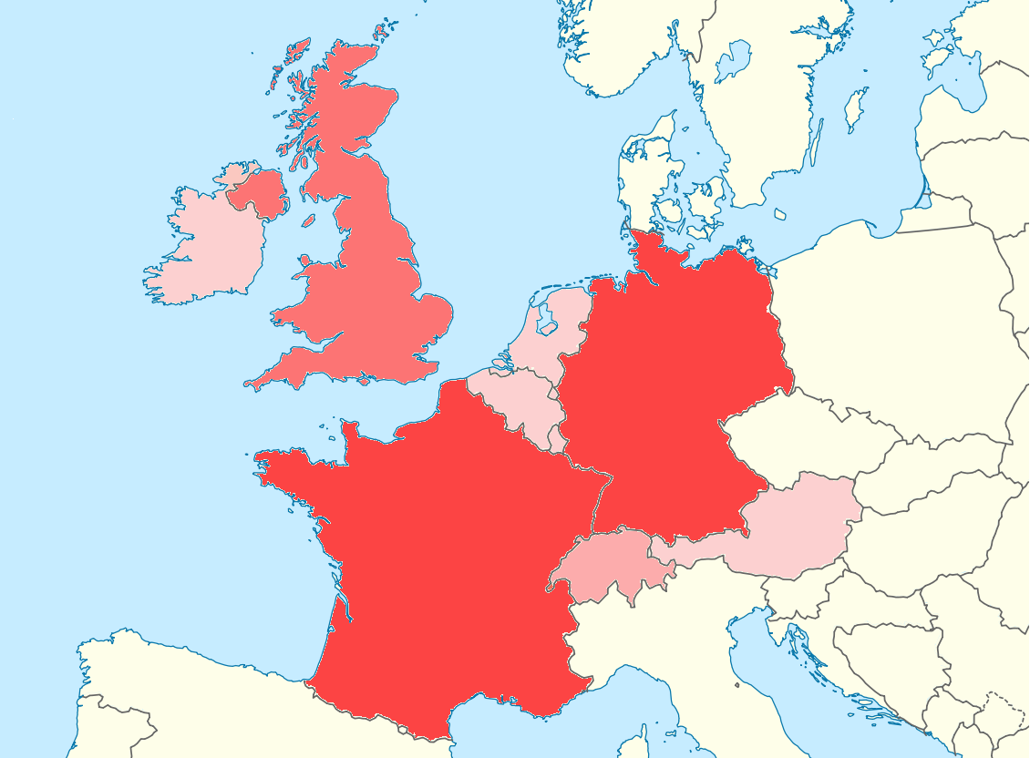
| DescripcióWestern Europe World Heritage Sites.png |
Deutsch: Positionskarte Europa; Politisch mit Staatsgrenzen; Flächentreue Azimutalprojektion English: Location map Europe; Political with state boundaries; Lambert azimuthal equal-area projection * Projection: LAEA Europe, EPSG:3035 * Longitude of projection center: 10° E * Latitude of projection center: 52° N * Map extent (LAEA Europe) Xmin,Ymin to Xmax, Ymax: 2555000, 1350000 to 7405000, 5500000 * Map extent (WGS84) (lon,lat of lower left and upper right corner): -8.9067, 33.2307 to 72.9617, 58.9174 |
| Data | (UTC) |
| Font |
This file was derived from: Europe blank laea location map.svg: |
| Autor |
|
| Això és una imatge retocada, cosa que vol dir que ha estat alterada digitalment de la seva versió original. Modificacions: cut image down to only show Western Europe. Added colors based on number of UNESCO World Heritage Sites. L'original es pot veure a: Europe blank laea location map.svg:
|
Llicència
Jo, el titular dels drets d'autor d'aquest treball, el public sota la següent llicència:
Aquest fitxer està subjecte a la llicència de Creative Commons Reconeixement i Compartir Igual 3.0 No adaptada.
- Sou lliure de:
- compartir – copiar, distribuir i comunicar públicament l'obra
- adaptar – fer-ne obres derivades
- Amb les condicions següents:
- reconeixement – Heu de donar la informació adequada sobre l'autor, proporcionar un enllaç a la llicència i indicar si s'han realitzat canvis. Podeu fer-ho amb qualsevol mitjà raonable, però de cap manera no suggereixi que l'autor us dóna suport o aprova l'ús que en feu.
- compartir igual – Si modifiqueu, transformeu, o generareu amb el material, haureu de distribuir les vostres contribucions sota una llicència similar o una de compatible com l'original
Registre original de càrregues
This image is a derivative work of the following images:
- File:Europe_blank_laea_location_map.svg licensed with Cc-by-sa-3.0
- 2010-03-11T20:50:37Z Alexrk2 1401x1198 (1928257 Bytes) fixing inland water
- 2010-03-11T19:58:40Z Alexrk2 1401x1198 (1920292 Bytes) == Summary == {{Information |Description= {{de|Positionskarte [[:de:Europa|Europa]]; Politisch mit Staatsgrenzen; Flächentreue Azimutalprojektion}} {{en|Location map [[:en:Europe|Europe]]; Political with state boundaries; La
Uploaded with derivativeFX
Llegendes
Afegeix una explicació d'una línia del que representa aquest fitxer
Elements representats en aquest fitxer
representa l'entitat
23 feb 2012
Historial del fitxer
Cliqueu una data/hora per veure el fitxer tal com era aleshores.
| Data/hora | Miniatura | Dimensions | Usuari/a | Comentari | |
|---|---|---|---|---|---|
| actual | 23:03, 23 feb 2012 | | 1.130 × 832 (174 Ko) | Tobyc75 | == {{int:filedesc}} == {{Information |Description={{de|Positionskarte Europa; Politisch mit Staatsgrenzen; Flächentreue Azimutalprojektion}} {{en|Location map Europe; Political with state boundaries; Lambert azimuthal equ... |
Ús del fitxer
No hi ha pàgines que utilitzin aquest fitxer.
Ús global del fitxer
Utilització d'aquest fitxer en altres wikis:
- Utilització a ar.wikipedia.org
- Utilització a ceb.wikipedia.org
- Utilització a da.wikipedia.org
- Utilització a fa.wikipedia.org
- Utilització a kn.wikipedia.org
- Utilització a tr.wikipedia.org
- Utilització a war.wikipedia.org
Metadades
Aquest fitxer conté informació addicional, probablement afegida per la càmera digital o l'escàner utilitzat per a crear-lo o digitalitzar-lo. Si s'ha modificat posteriorment, alguns detalls poden no reflectir les dades reals del fitxer modificat.
| Resolució horitzontal | 37,79 ppc |
|---|---|
| Resolució vertical | 37,79 ppc |