File:BlankMap-World-1962.png
From Wikipedia, the free encyclopedia
Restr orin (1 357 × 628 piksel, ment ar restr : 48 Kio, seurt MIME : image/png)
![]()
| Tennet eo ar restr-mañ eus Wikimedia Commons ha gallout a ra bezañ implijet evit raktresoù all. Diskouezet eo deskrivadur he fajenn zeskrivañ amañ dindan. |

|
This locator map image could be re-created using vector graphics as an SVG file. This has several advantages; see Commons:Media for cleanup for more information. If an SVG form of this image is available, please upload it and afterwards replace this template with
{{vector version available|new image name}}.
It is recommended to name the SVG file “BlankMap-World-1962.svg”—then the template Vector version available (or Vva) does not need the new image name parameter. |
Diverradur
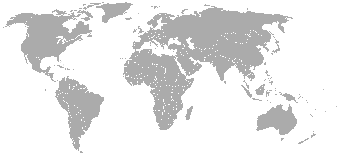
World map with 1962 borders. This is accurate between July 1, 1962 (Belgian colony of Ruanda-Urundi separated into Rwanda and Burundi.) and August 31, 1963 (Singapore, Sabah, Sarawak and Malaya join to form Malaysia). See list for more information.
| Blank maps of the world for historical use | |
| pre-1800 | |
|
19th century | |
|
20th century | |
|
1902 · 1912 · 1914 · WWI · Aug 1918 · 1920 · 1921 · 1924 · 1926 · 1935 · 1937 · Mar 1938 · Oct 1938 · Mar 1939 · Oct 1939 · WWII · Nov 1942 · May 1945 · 1957 · 1959 · 1962 · 1968 · 1970 · 1985 · 1990 · 1993 | |
|
21st century | |
| (this template: · view · discuss ) | |
.PNG)
derivative works
Derivative works of this file: FLN soccer team visited countries.png
Aotre-implijout

|
Aotre zo da eilañ, skignañ ha kemmañ an teul-mañ dindan termennoù ar GNU Free Documentation License, stumm 1.2 pe stummoù nevesoc'h embannet gant ar Free Software Foundation; hep rannoù digemm, na testenn pajenn golo 1 pe golo 4 ebet. Kavet e vo un eilskrid eus an aotre-implijout er rannbennad anvet GNU Free Documentation License.http://www.gnu.org/copyleft/fdl.htmlGFDLGNU Free Documentation Licensetruetrue |
| Emañ ar restr-mañ dindan an aotre-implijout Creative Commons Deroadenn-Kenrannañ 3.0 Unported | ||
| ||
| Ouzhpennet eo bet an dikedenn aotre-implijout-mañ d'ar restr-mañ evel darn eus hizivadur aotreoù-implijout ar GFDL.http://creativecommons.org/licenses/by-sa/3.0/CC BY-SA 3.0Creative Commons Attribution-Share Alike 3.0truetrue |
Captions
Items portrayed in this file
diskouez a ra
image/png
checksum saozneg
7f27b6077fa7fad8151d35c3981b25026e2e521d
49 120 byte
628 pixel
1 357 pixel
Istor ar restr
Klikañ war un deiziad/eur da welet ar restr evel ma oa da neuze.
| Deiziad/Eur | Munud | Mentoù | Implijer | Notenn | |
|---|---|---|---|---|---|
| red | 24 Gwe 2007 da 02:49 | | 1 357 × 628 (48 Kio) | Hoshie | put the (N/S) Yemen boundary in white due to the fact the boundaries in southern Saudi Arabia have been disputed, undemarcated, or undisclosed over the years. |
| 6 Eos 2007 da 00:43 |  | 1 357 × 628 (48 Kio) | Hoshie | Added Cabinda; under same lic. as original. | |
| 28 Gen 2007 da 10:27 |  | 1 357 × 628 (48 Kio) | Hoshie | added Ifni, a Spanish enclave. | |
| 5 Gen 2007 da 23:54 |  | 1 357 × 628 (48 Kio) | Roke~commonswiki | Blank world map with 1962 borders. This is accurate between December 19, 1961 (India takes over the Portugese colony of Goa) and July 1, 1962 (Belgian colony of Ruanda-Urundi separated into Rwanda and Burundi.) See [[w:List of national border changes sinc |
Implij ar restr
Pajenn ebet ne implij ar restr-mañ.
Implij hollek ar restr
Ober a ra ar wikioù da-heul gant ar restr-mañ :
- Implij war ca.wikipedia.org
- Implij war es.wikipedia.org
- Implij war fr.wikipedia.org
- Implij war nl.wikipedia.org