চিত্র:Island_of_Ireland_relief_location_map.png
From Wikipedia, the free encyclopedia
পূর্ণ রেজোলিউশন (১,৪৫০ × ১,৮০৭ পিক্সেল, ফাইলের আকার: ২.০৭ মেগাবাইট, এমআইএমই ধরন: image/png)
| এই ফাইলটি উইকিমিডিয়া কমন্স থেকে নেওয়া। সেখানের বর্ণনা পাতার বিস্তারিত নিম্নে দেখানো হলো। (সম্পাদনা)
|
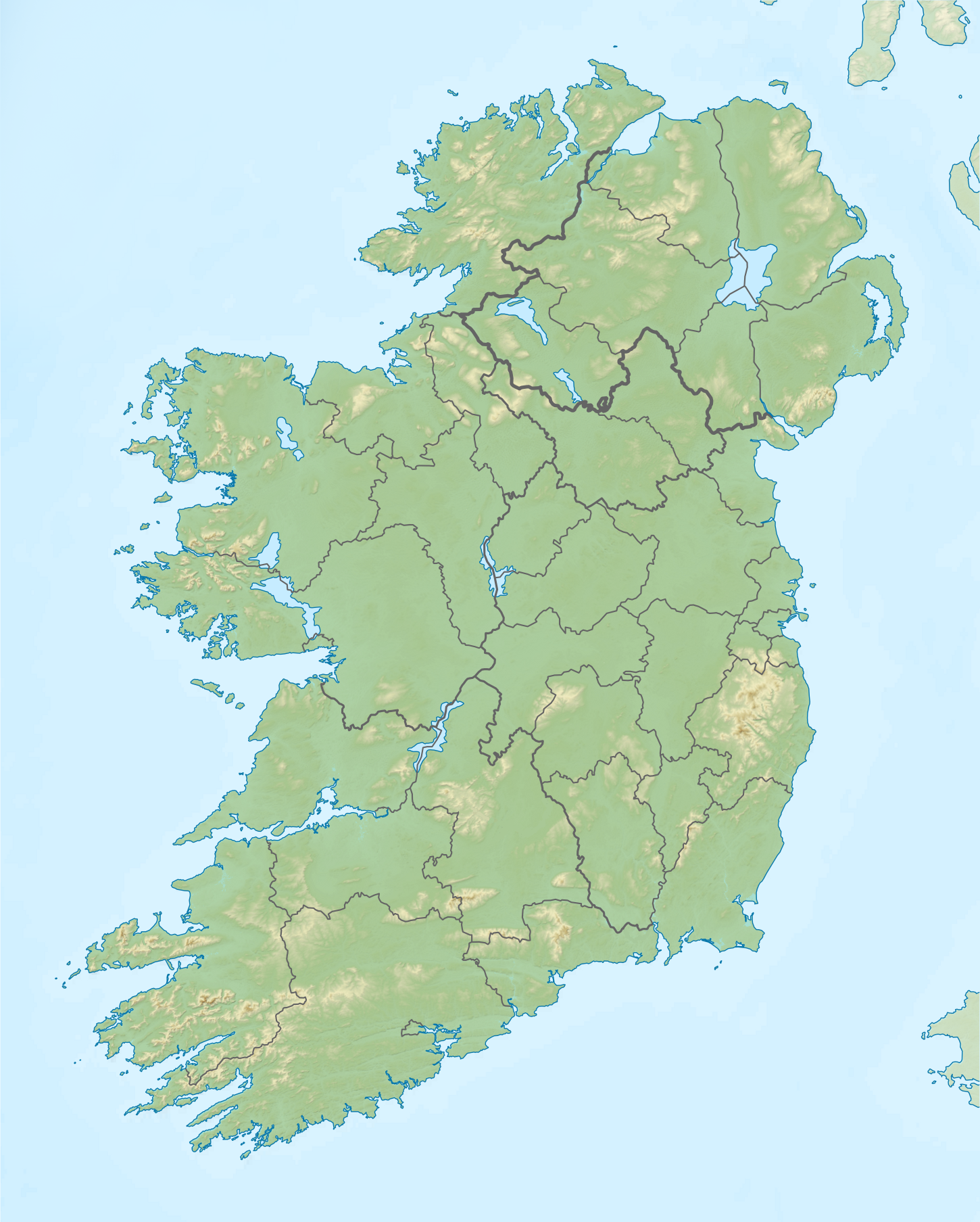
| বিবরণIsland of Ireland relief location map.png |
Relief map of Ireland Equirectangular map projection on WGS 84 datum, with N/S stretched 170% Geographic limits:
|
| তারিখ | |
| উৎস |
Shuttle Radar Topography Mission
National Geospatial-Intelligence Agency
File:Island of Ireland location map.svg: Rannpháirtí anaithnid
|
| লেখক | Nilfanion |
| অনুমতি (এ ফাইলের পুনঃব্যবহার) |
এই ফাইলটি ক্রিয়েটিভ কমন্স অ্যাট্রিবিউশন-শেয়ার অ্যালাইক ৩.০ আনপোর্টেড লাইসেন্সের আওতায় লাইসেন্সকৃত।
|
ক্যাপশন
এই ফাইলে চিত্রিত আইটেমগুলি
যা চিত্রিত করে
কিছু মানের উইকিউপাত্ত আইটেম নেই
১৫ এপ্রিল 2012
ফাইলের ইতিহাস
যেকোনো তারিখ/সময়ে ক্লিক করে দেখুন ফাইলটি তখন কী অবস্থায় ছিল।
| তারিখ/সময় | সংক্ষেপচিত্র | মাত্রা | ব্যবহারকারী | মন্তব্য | |
|---|---|---|---|---|---|
| বর্তমান | ১২:৩৬, ২৬ মে ২০১৯ | | ১,৪৫০ × ১,৮০৭ (২.০৭ মেগাবাইট) | RaviC | updated per Wikipedia:Graphics_Lab/Map_workshop#Ireland_Relief_Map_-_2014_Changes |
| ০৪:০৭, ৮ মে ২০১২ |  | ১,৪৫০ × ১,৮০৭ (১.৭৫ মেগাবাইট) | Spideog | Removed dark blue shading at top left for aesthetic balance reasons. It was distracting, and the the map is for terrestrial rather than bathymetric purposes. | |
| ২২:৪৪, ১৫ এপ্রিল ২০১২ |  | ১,৪৫০ × ১,৮০৭ (১.৬ মেগাবাইট) | Nilfanion | {{Information |Description=Relief map of Ireland Equirectangular map projection on WGS 84 datum, with N/S stretched 170% Geographic limits: *West: 11.0° W *East: 5.0° W *North: 55.6° N *South: 51.2° N |Source= [[w:Shuttle Radar Topo... |
সংযোগসমূহ
নিচের পৃষ্ঠা(গুলো) থেকে এই ছবিতে সংযোগ আছে:
ফাইলের বৈশ্বিক ব্যবহার
নিচের অন্যান্য উইকিগুলো এই ফাইলটি ব্যবহার করে:
- ar.wikipedia.org-এ ব্যবহার
- az.wikipedia.org-এ ব্যবহার
- be.wikipedia.org-এ ব্যবহার
- ceb.wikipedia.org-এ ব্যবহার
- ce.wikipedia.org-এ ব্যবহার
- da.wikipedia.org-এ ব্যবহার
- de.wikipedia.org-এ ব্যবহার
- en.wikipedia.org-এ ব্যবহার
- Achill Island
- Battle of the Boyne
- Newgrange
- Rock of Cashel
- MacGillycuddy's Reeks
- Hill of Tara
- Magh Slécht
- Lough Derg, County Donegal
- RMS Lusitania
- Turlough Hill
- Mourne Mountains
- Copeland Islands
- Valentia Island
- Skellig Islands
- Carrauntoohil
- Lough Owel
- Lough Ennell
- Treaty of Limerick
- Lough Swilly
- Lough Allen
- Lough Gur
- Mount Brandon
- Lebor na hUidre
- Clarkstown radio transmitter
- Second Battle of Athenry
এই ফাইলের অন্যান্য বৈশ্বিক ব্যবহার দেখুন।
অধি-উপাত্ত
এই ফাইলে অতিরিক্ত কিছু তথ্য আছে। সম্ভবত যে ডিজিটাল ক্যামেরা বা স্ক্যানারের মাধ্যমে এটি তৈরি বা ডিজিটায়িত করা হয়েছিল, সেটি কর্তৃক তথ্যগুলি যুক্ত হয়েছে। যদি ফাইলটি তার আদি অবস্থা থেকে পরিবর্তিত হয়ে থাকে, কিছু কিছু বিবরণ পরিবর্তিত ফাইলটির জন্য প্রযোজ্য না-ও হতে পারে।
| অনুভূমিক রেজোলিউশন | ৪৭.২৪ dpc |
|---|---|
| উল্লম্ব রেজোলিউশন | ৪৭.২৪ dpc |
| ব্যবহৃত সফটওয়্যার |
|