File:BlankMap-World-2005.png
From Wikipedia, the free encyclopedia
Арыгінальны файл (1 425 × 625 кропак, аб’ём файла: 18 KB, тып MIME: image/png)
Гэты файл з на Вікісховішчы і можа выкарыстоўвацца іншымі праектамі. Апісанне на яго старонцы ў Wikimedia Commons прыведзена ніжэй.

|
This locator map image could be re-created using vector graphics as an SVG file. This has several advantages; see Commons:Media for cleanup for more information. If an SVG form of this image is available, please upload it and afterwards replace this template with
{{vector version available|new image name}}.
It is recommended to name the SVG file “BlankMap-World-2005.svg”—then the template Vector version available (or Vva) does not need the new image name parameter. |
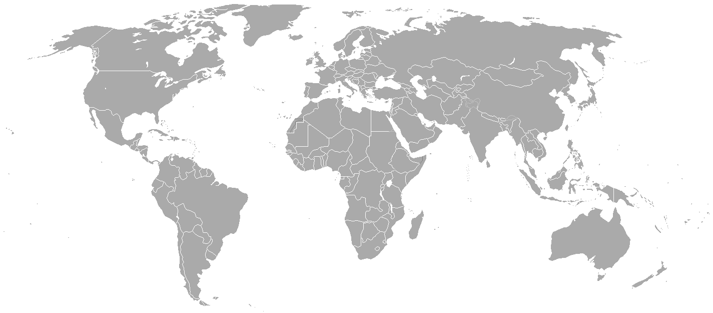
Blank political map of the world showing 2005 borders (i.e. before the independence of Montenegro and Kosovo). Based on Image:BlankMap-World.png; as it is PD, this is too.
This map is accurate for the period between May 20, 2002 (East Timor independent from Indonesia), and June 3, 2006 (Montenegro independent from Serbia and Montenegro) — notwithstanding the renaming of Yugoslavia to Serbia and Montenegro on February 3, 2003.
Previous map: Image:BlankMap-World-2000.png
| Blank maps of the world for historical use | |
| pre-1800 | |
|
19th century | |
|
20th century | |
|
1902 · 1912 · 1914 · WWI · Aug 1918 · 1920 · 1921 · 1924 · 1926 · 1935 · 1937 · Mar 1938 · Oct 1938 · Mar 1939 · Oct 1939 · WWII · Nov 1942 · May 1945 · 1957 · 1959 · 1962 · 1968 · 1970 · 1985 · 1990 · 1993 | |
|
21st century | |
| (this template: · view · discuss ) | |
.PNG)
| Public domainPublic domainfalsefalse |
| Гэты твор быў перададзены ў грамадскі набытак яго аутарам, Hoshie. Дазвол сапраўдны для ўсяго свету. У некаторых краінах гэта не можа быць юрыдычна магчыма; калі так, то: |
derivative works
Derivative works of this file:
Назвы
Элементы, адлюстраваныя на гэтым файле
адлюстроўвае
image/png
checksum англійская
c54a0193133ed2eabc4ca1eaf52fbaa8879a5f34
18 141 байт
625 піксель
1 425 піксель
Гісторыя файла
Націснуць на даце з часам, каб паказаць файл, якім ён тады быў.
| Дата і час | Драбніца | Памеры | Удзельнік | Тлумачэнне | |
|---|---|---|---|---|---|
| актуальн. | 00:35, 16 мая 2015 | | 1 425 × 625 (18 KB) | RokerHRO | optipng -o7 -i0 → 68.85% decrease |
| 01:38, 31 сакавіка 2010 |  | 1 425 × 625 (57 KB) | Spesh531 | changes the same as modern one | |
| 05:27, 12 красавіка 2008 |  | 1 425 × 625 (49 KB) | Hoshie | Blank map of the world showing 2005 borders (i.e. before the independence of Montenegro and Kosovo). Based off Image:BlankMap-World.png; as it is PD, this is too. This map is accurite for the period between May 20, 2002 (East Timor independent from |
Выкарыстанне файла
Няма старонак, якія выкарыстоўваюць гэты файл.
Глабальнае выкарыстанне файла
Гэты файл выкарыстоўваецца ў наступных вікі:
- Выкарыстанне ў fr.wikipedia.org
Метаданыя
У файле ёсць дадатковыя звесткі, магчыма, дададзеныя лічбавай фотакамерай ці сканерам, з якіх гэты файл паходзіць. Калі арыгінальны файл быў зменены, то частка гэтых звестак магла страціць актуальнасць у дачыненні да змененага файла.
| Гарызантальная раздзяляльнасць | 37,78 dpc |
|---|---|
| Вертыкальная раздзяляльнасць | 37,78 dpc |