চিত্ৰ:BlankMap-World-2005.png
From Wikipedia, the free encyclopedia
মূল ফাইল (1,425 × 625 পিক্সেল, ফাইলৰ মাত্ৰা: 18 KB, MIME প্ৰকাৰ: image/png)
| এই ফাইলটো ৱিকিমিডিয়া কমন্সৰ পৰা আমদানি কৰা হৈছে। ফাইল বিৱৰণ পৃষ্ঠাৰ সবিশেষ তথ্য তলত উল্লেখ কৰা হ’ল ।
|

|
This locator map image could be re-created using vector graphics as an SVG file. This has several advantages; see Commons:Media for cleanup for more information. If an SVG form of this image is available, please upload it and afterwards replace this template with
{{vector version available|new image name}}.
It is recommended to name the SVG file “BlankMap-World-2005.svg”—then the template Vector version available (or Vva) does not need the new image name parameter. |
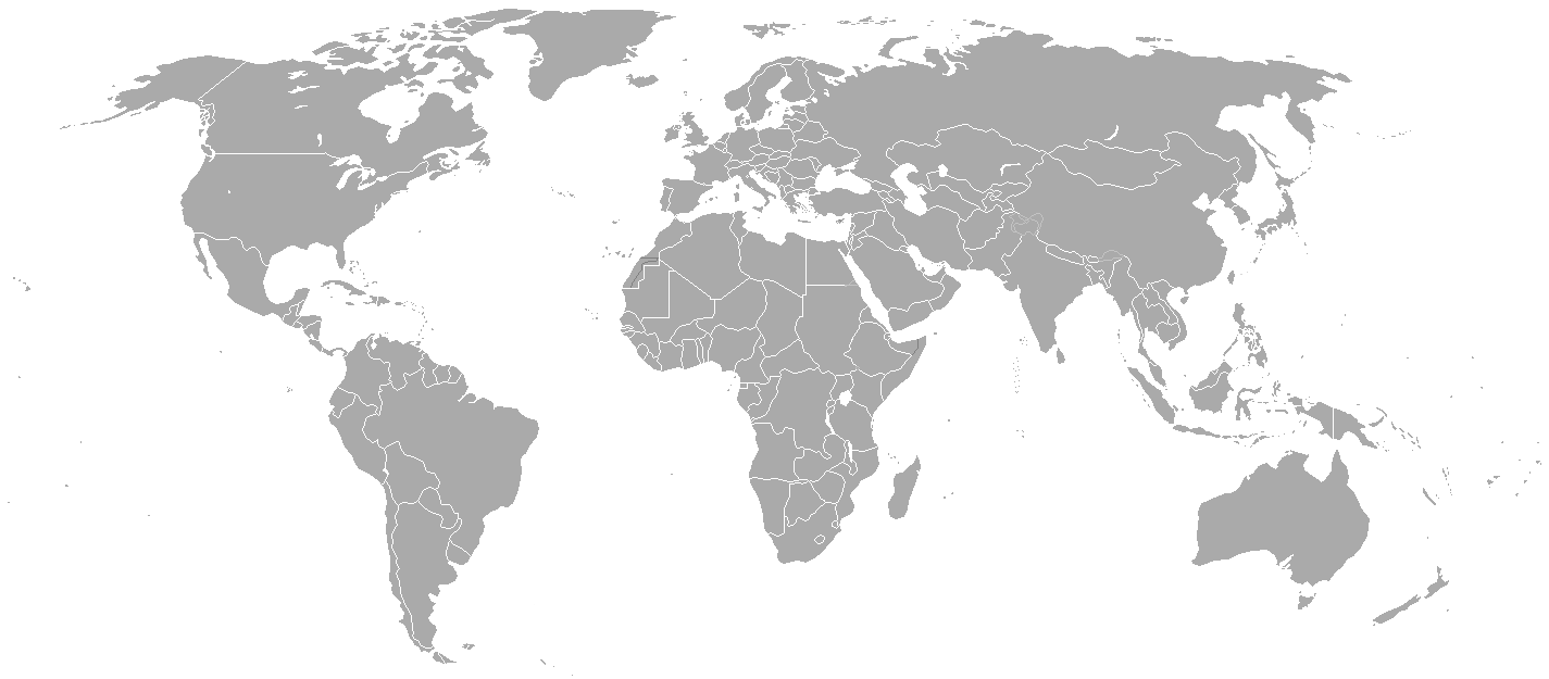
Blank political map of the world showing 2005 borders (i.e. before the independence of Montenegro and Kosovo). Based on Image:BlankMap-World.png; as it is PD, this is too.
This map is accurate for the period between May 20, 2002 (East Timor independent from Indonesia), and June 3, 2006 (Montenegro independent from Serbia and Montenegro) — notwithstanding the renaming of Yugoslavia to Serbia and Montenegro on February 3, 2003.
Previous map: Image:BlankMap-World-2000.png
| Blank maps of the world for historical use | |
| pre-1800 | |
|
19th century | |
|
20th century | |
|
1902 · 1912 · 1914 · WWI · Aug 1918 · 1920 · 1921 · 1924 · 1926 · 1935 · 1937 · Mar 1938 · Oct 1938 · Mar 1939 · Oct 1939 · WWII · Nov 1942 · May 1945 · 1957 · 1959 · 1962 · 1968 · 1970 · 1985 · 1990 · 1993 | |
|
21st century | |
| (this template: · view · discuss ) | |
.PNG)
| Public domainPublic domainfalsefalse |
| এই কামক ইয়াৰ লেখক Hoshie-য়ে ৰাজহুৱা ডমেইনত মুকলি কৰিছে। ই বিশ্বব্যাপী প্ৰযোজ্য হ’ব। কিছুমান দেশত এইটো আইনগতভাৱে নহবও পাৰে, যদি সেয়ে হয়: |
derivative works
Derivative works of this file:
কেপ্চন
Items portrayed in this file
depicts ইংৰাজী
media type ইংৰাজী
image/png
checksum ইংৰাজী
c54a0193133ed2eabc4ca1eaf52fbaa8879a5f34
data size ইংৰাজী
১৮,১৪১ বাইট
height ইংৰাজী
৬২৫ pixel
width ইংৰাজী
১,৪২৫ pixel
ফাইলৰ ইতিবৃত্ত
ফাইলৰ আগৰ অৱস্থা চাবলৈ সেই তাৰিখ/সময়ত ক্লিক কৰক।
| তাৰিখ/সময় | ক্ষুদ্ৰ প্ৰতিকৃতি | আকাৰ | সদস্য | মন্তব্য | |
|---|---|---|---|---|---|
| বৰ্তমান | 21:35, 15 May 2015 | | 1,425 × 625 (18 KB) | RokerHRO | optipng -o7 -i0 → 68.85% decrease |
| 22:38, 30 March 2010 |  | 1,425 × 625 (57 KB) | Spesh531 | changes the same as modern one | |
| 02:27, 12 April 2008 |  | 1,425 × 625 (49 KB) | Hoshie | Blank map of the world showing 2005 borders (i.e. before the independence of Montenegro and Kosovo). Based off Image:BlankMap-World.png; as it is PD, this is too. This map is accurite for the period between May 20, 2002 (East Timor independent from |
ফাইল ব্যৱহাৰ
এই ফাইলটো কোনো পৃষ্ঠাই ব্যৱহাৰ কৰা নাই
ফাইলৰ গোলকীয় ব্যৱহাৰ
তলত দিয়া আন ৱিকিসমূহে এই ফাইলটো ব্যৱহাৰ কৰে:
- fr.wikipedia.org-ৰ ব্যৱহাৰ
মেটাডেটা
এই ফাইলত অতিৰিক্ত খবৰ আছে, হয়তো ডিজিটেল কেমেৰা বা স্কেনাৰ ব্যৱহাৰ কৰি সৃষ্টি বা পৰিৱৰ্তন কৰা হৈছে ।
এই ফাইলটো আচলৰ পৰা পৰিৱৰ্তন কৰা হৈছে, সেয়েহে পৰিৱৰ্তিত ফাইলটোৰ সৈতে নিমিলিব পাৰে ।
| আনুভূমিক ৰিজ'লিউশ্যন | 37.78 dpc |
|---|---|
| উলম্বিক ৰিজ'লিউশ্যন | 37.78 dpc |